

Photo: Azadi68 · CC BY-SA 4.0 · Wikimedia Commons
Nezamiyeh Alley MansionReport this photo · linked, not stored
Nezamiyeh Alley MansionNezamiyeh Alley MansionReport this photo · linked, not stored

Photo: Azadi68 · CC BY-SA 4.0 · Wikimedia Commons
Enteshar Publication BuildingReport this photo · linked, not stored
Enteshar Publication BuildingEnteshar Publication BuildingReport this photo · linked, not stored
governmentTehran, Tehran
Baharestan
Iranian National Heritage
TypegovernmentQajar
Built–
Best monthsApr–May · Octweather in Tehran
35.69° N, 51.43° EUTC+3:30 · Iran Standard Time
When to goTehran · weather score
Best timeApr–May · Oct
October: high / low23° / 13°
iAbout
Baharestan in brief
Baharestan is a government in Tehran, Iran.
It holds the designation Iranian National Heritage.
The government is built in the Qajar style.
For a visit, the weather in Tehran is best in April, May and October; in October afternoons average 23°.
iiLocation
Where to find it
ivNearby
All monuments in IranMore heritage close by
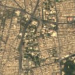
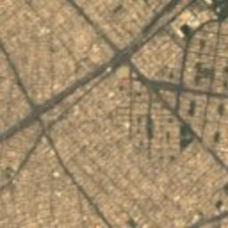
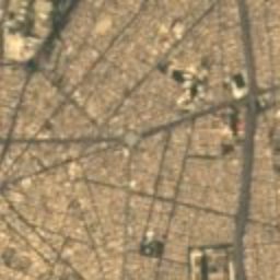
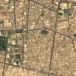
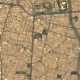
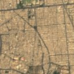
Satellite: Sentinel-2 cloudless 2016 by EOX IT Services GmbH · CC BY 4.0 · Contains modified Copernicus Sentinel data 2016
Sepahsalar Mosque
0.2 km S
Iranian National Heritage
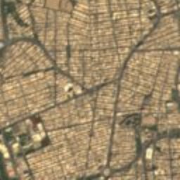
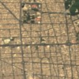
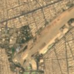
Satellite: Sentinel-2 cloudless 2016 by EOX IT Services GmbH · CC BY 4.0 · Contains modified Copernicus Sentinel data 2016
Baharestan Square
0.2 km W
Iranian National Heritage
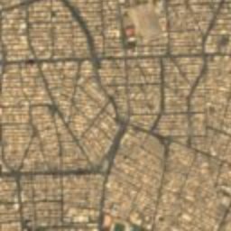
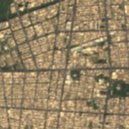
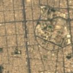
Satellite: Sentinel-2 cloudless 2016 by EOX IT Services GmbH · CC BY 4.0 · Contains modified Copernicus Sentinel data 2016
Nezamiyeh Mansion
0.3 km SW
Iranian National Heritage
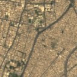
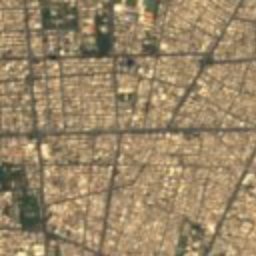
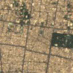
Satellite: Sentinel-2 cloudless 2016 by EOX IT Services GmbH · CC BY 4.0 · Contains modified Copernicus Sentinel data 2016
Rajai House (Tehran)
0.4 km E
Iranian National Heritage
Around here
Tehran and around

Nature


Mountains
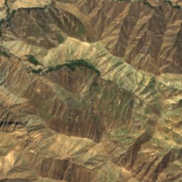
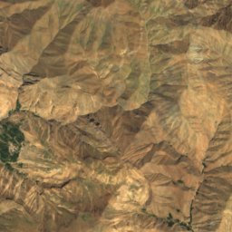
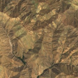
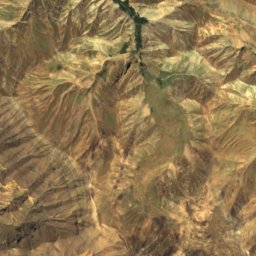
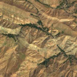
Satellite: Sentinel-2 cloudless 2016 by EOX IT Services GmbH · CC BY 4.0 · Contains modified Copernicus Sentinel data 2016
Tochal
3,964 m · Alborz
Satellite: Sentinel-2 cloudless 2016 by EOX IT Services GmbH · CC BY 4.0 · Contains modified Copernicus Sentinel data 2016
Shah Neshin
3,875 m

Heritage
Satellite: Sentinel-2 cloudless 2016 by EOX IT Services GmbH · CC BY 4.0 · Contains modified Copernicus Sentinel data 2016
University of Tehran
Iranian National Heritage · 1934

Photo: sepideh.sadafi@gmail.com · CC BY-SA 4.0 · Wikimedia CommonsReport this photo · linked, not stored
Saint Mary Armenian Church
Iranian National Heritage · 1938

Museums




Satellite: Sentinel-2 cloudless 2016 by EOX IT Services GmbH · CC BY 4.0 · Contains modified Copernicus Sentinel data 2016
Tehran Museum of Contemporary Art
1977