
Photo: Comfundary · CC BY-SA 3.0 · Wikimedia Commons
Punta de ManabiqueReport this photo · linked, not stored
Punta de ManabiqueReport this photo · linked, not stored
landformLívingston, Izabal Department
Punta de Manabique
Ramsar siteBuilt 2005
Typelandform
Built2005
Best monthsJan–Marweather in Lívingston
15.93° N, 88.57° WUTC−6 · Central Standard Time
Standing for21 years
built 2005today 2026
When to goLívingston · weather score
Best timeJan–Mar
October: high / low28° / 23°
iAbout
Punta de Manabique in brief
Punta de Manabique is a landform in Lívingston, Izabal Department, Guatemala.
It holds the designation Ramsar site.
The landform dates from 2005.
For a visit, the weather in Lívingston is best in January, February and March; in October afternoons average 28°.
Facts
- Type
- landform
- Designation
- Ramsar site
- Built
- 2005
- Nearest town
- Lívingston
- Region
- Izabal Department
- Coordinates
- 15.93222, -88.56889
iiLocation
Where to find it
iiiWhen to visit
Climate guideWeather in Lívingston
Month score for sightseeing
Best Jan–Mar59
Jan
57
Feb
57
Mar
55
Apr
37
May
33
Jun
38
Jul
37
Aug
35
Sep
44
Oct
52
Nov
57
Dec
Around here
Lívingston and around

Nature




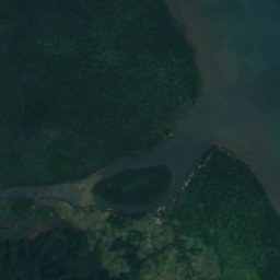


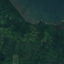
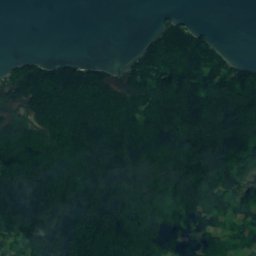
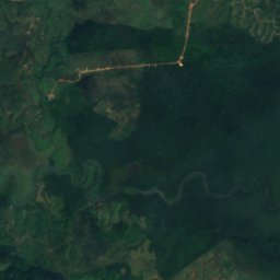
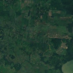
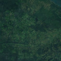
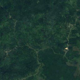
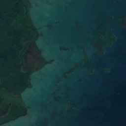
Satellite: Sentinel-2 cloudless 2016 by EOX IT Services GmbH · CC BY 4.0 · Contains modified Copernicus Sentinel data 2016
Sarstoon River
River
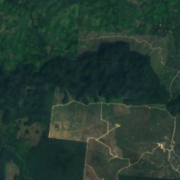
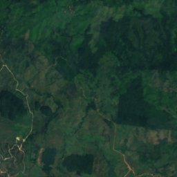
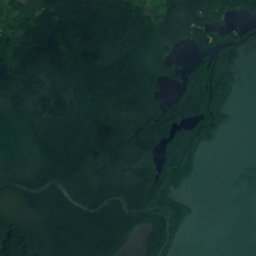
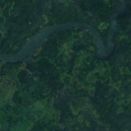
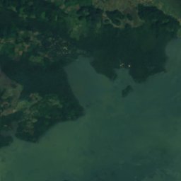
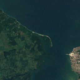
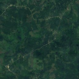
Satellite: Sentinel-2 cloudless 2016 by EOX IT Services GmbH · CC BY 4.0 · Contains modified Copernicus Sentinel data 2016
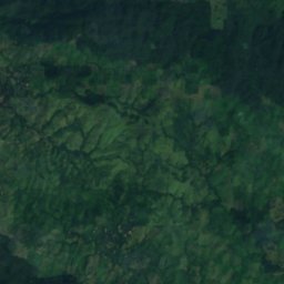
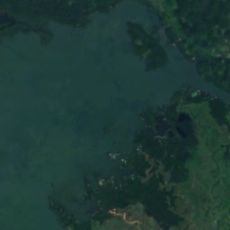
El Golfete
Lake
Mountains
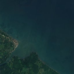

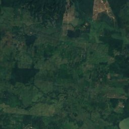
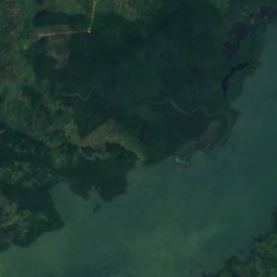
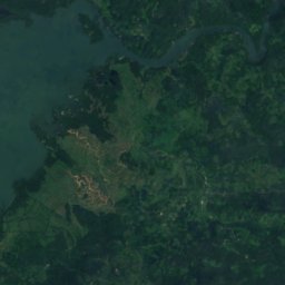
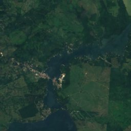
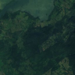
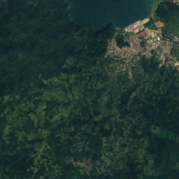
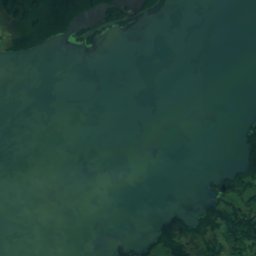
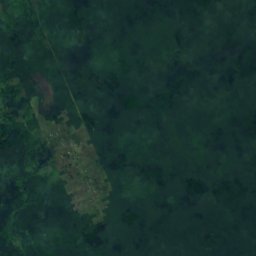
Satellite: Sentinel-2 cloudless 2016 by EOX IT Services GmbH · CC BY 4.0 · Contains modified Copernicus Sentinel data 2016
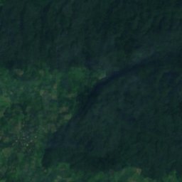
Sierra del Mico
1,267 m
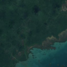
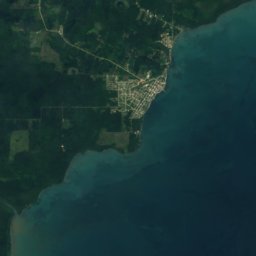



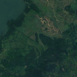
Satellite: Sentinel-2 cloudless 2016 by EOX IT Services GmbH · CC BY 4.0 · Contains modified Copernicus Sentinel data 2016
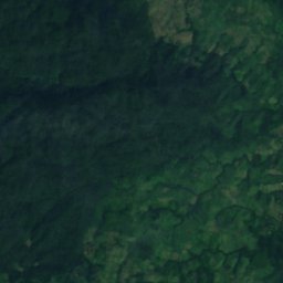
Sirmoor Hill
30 m
Satellite: Sentinel-2 cloudless 2016 by EOX IT Services GmbH · CC BY 4.0 · Contains modified Copernicus Sentinel data 2016
Sphinx Ridge
26 m