











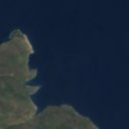










Satellite: Sentinel-2 cloudless 2016 by EOX IT Services GmbH · CC BY 4.0 · Contains modified Copernicus Sentinel data 2016
ancient cityGérakas, Peloponnese
Zarax
archaeological site in Greece
Typeancient city
Built–
Best monthsApr–May · Octweather in Gérakas
36.79° N, 23.09° EUTC+2 · Eastern European Standard Time
When to goGérakas · weather score
Best timeApr–May · Oct
October: high / low24° / 14°
iAbout
Zarax in brief
Zarax is an ancient city in Gérakas, Peloponnese, Greece.
It holds the designation archaeological site in Greece.
For a visit, the weather in Gérakas is best in April, May and October; in October afternoons average 24°.
Facts
- Type
- ancient city
- Designation
- archaeological site in Greece
- Nearest town
- Gérakas
- Region
- Peloponnese
- Coordinates
- 36.78650, 23.08875
iiLocation
Where to find it
iiiWhen to visit
Climate guideWeather in Gérakas
Month score for sightseeing
Best Apr–May · Oct46
Jan
52
Feb
73
Mar
85
Apr
83
May
66
Jun
59
Jul
62
Aug
70
Sep
83
Oct
77
Nov
54
Dec
Around here
Gérakas and around

Nature


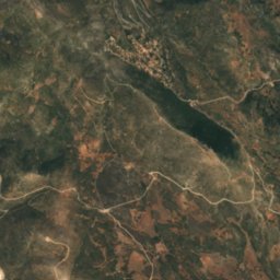
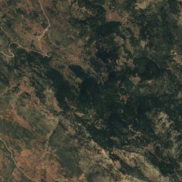
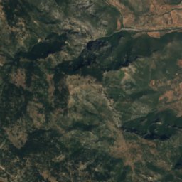
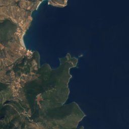

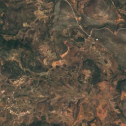
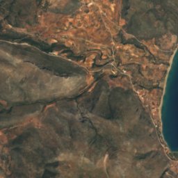
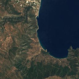
Satellite: Sentinel-2 cloudless 2016 by EOX IT Services GmbH · CC BY 4.0 · Contains modified Copernicus Sentinel data 2016
Sacred cave of Asklepios at Kyphanta
Cave


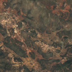
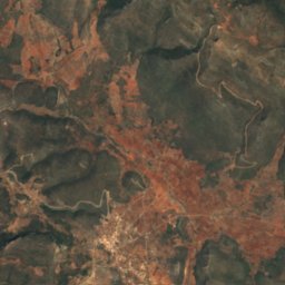
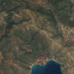
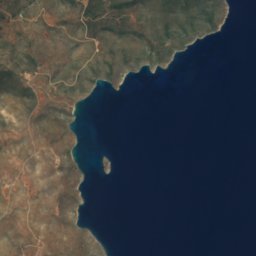


Satellite: Sentinel-2 cloudless 2016 by EOX IT Services GmbH · CC BY 4.0 · Contains modified Copernicus Sentinel data 2016
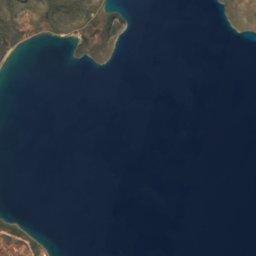
Daskaleio islet
Island
Mountains
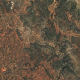
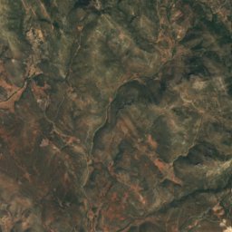
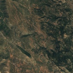
Satellite: Sentinel-2 cloudless 2016 by EOX IT Services GmbH · CC BY 4.0 · Contains modified Copernicus Sentinel data 2016
Berkia
1,372 m
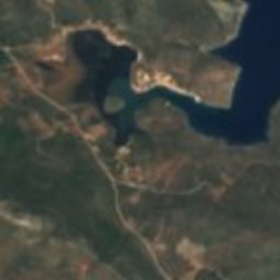
Satellite: Sentinel-2 cloudless 2016 by EOX IT Services GmbH · CC BY 4.0 · Contains modified Copernicus Sentinel data 2016
Koutsouveria
1,138 m
Heritage


Museums


Archaeological Museum of Monemvasia
Archaeological museum · 1999