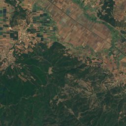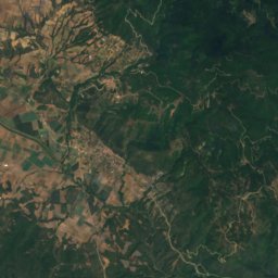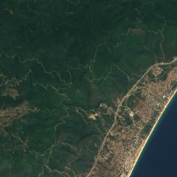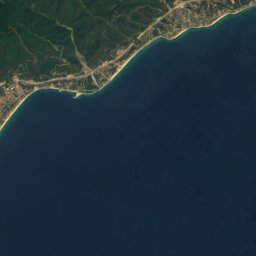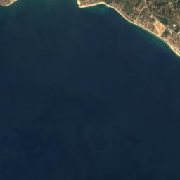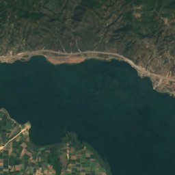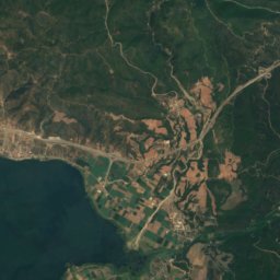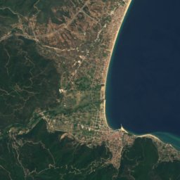
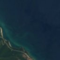





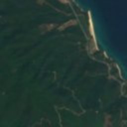







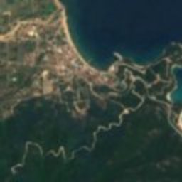



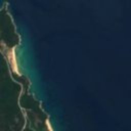


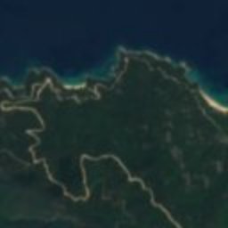
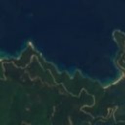
Satellite: Sentinel-2 cloudless 2016 by EOX IT Services GmbH · CC BY 4.0 · Contains modified Copernicus Sentinel data 2016
polisOlympiada, Central Macedonia
Stageira
archaeological site in GreeceBuilt 654 BC
Typepolis
Built654 BC
Best monthsApr–May · Octweather in Olympiada
40.59° N, 23.79° EUTC+2 · Eastern European Standard Time
Standing for2,680 years
built 654 BCtoday 2026
When to goOlympiada · weather score
Best timeApr–May · Oct
October: high / low22° / 12°
iAbout
Stageira in brief
Stageira is a polis in Olympiada, Central Macedonia, Greece.
It holds the designation archaeological site in Greece.
The polis dates from 654 bc.
For a visit, the weather in Olympiada is best in April, May and October; in October afternoons average 22°.
Facts
- Type
- polis
- Designation
- archaeological site in Greece
- Built
- 654 BC
- Nearest town
- Olympiada
- Region
- Central Macedonia
- Coordinates
- 40.59083, 23.79417
iiLocation
Where to find it
iiiWhen to visit
Climate guideWeather in Olympiada
Month score for sightseeing
Best Apr–May · Oct32
Jan
45
Feb
62
Mar
80
Apr
70
May
51
Jun
49
Jul
54
Aug
68
Sep
83
Oct
68
Nov
35
Dec
Around here
Olympiada and around

Nature

Photo: Krzysztof Ziarnek, Kenraiz · CC BY-SA 4.0 · Wikimedia CommonsReport this photo · linked, not stored
Struma
River


Mountains

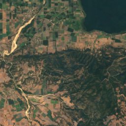
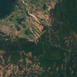
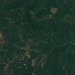
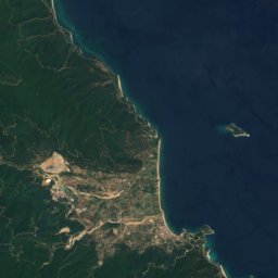

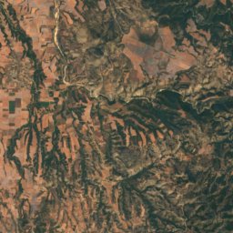
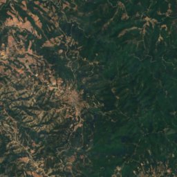
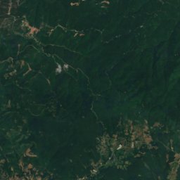
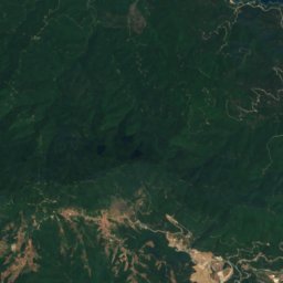
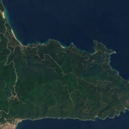
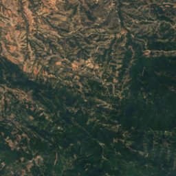
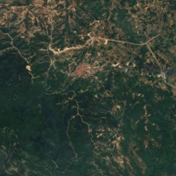
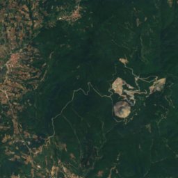
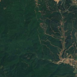
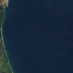
Satellite: Sentinel-2 cloudless 2016 by EOX IT Services GmbH · CC BY 4.0 · Contains modified Copernicus Sentinel data 2016
Mount Stratoniko
918 m