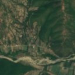
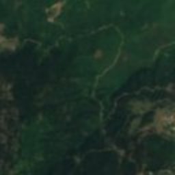
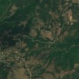
Satellite: Sentinel-2 cloudless 2016 by EOX IT Services GmbH · CC BY 4.0 · Contains modified Copernicus Sentinel data 2016
ancient cityTsoukka, Central Greece
Sperchiae
archaeological site in Greece
Typeancient city
Built–
Best monthsMay · Sep–Octweather in Tsoukka
38.92° N, 22.03° EUTC+2 · Eastern European Standard Time
When to goTsoukka · weather score
Best timeMay · Sep–Oct
October: high / low19° / 10°
iAbout
Sperchiae in brief
Sperchiae is an ancient city in Tsoukka, Central Greece, Greece.
It holds the designation archaeological site in Greece.
For a visit, the weather in Tsoukka is best in May, September and October; in October afternoons average 19°.
Facts
- Type
- ancient city
- Designation
- archaeological site in Greece
- Nearest town
- Tsoukka
- Region
- Central Greece
- Coordinates
- 38.92281, 22.03278
iiLocation
Where to find it
iiiWhen to visit
Climate guideWeather in Tsoukka
Month score for sightseeing
Best May · Sep–Oct30
Jan
31
Feb
45
Mar
78
Apr
85
May
79
Jun
75
Jul
77
Aug
85
Sep
82
Oct
48
Nov
26
Dec
Around here
Tsoukka and around
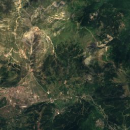
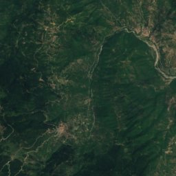
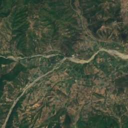
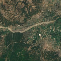
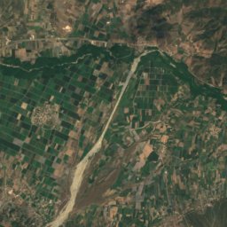
Nature
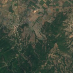
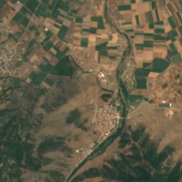
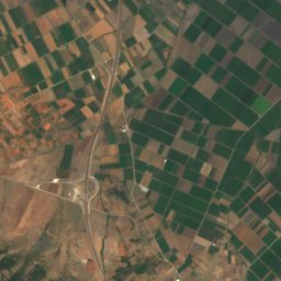
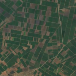
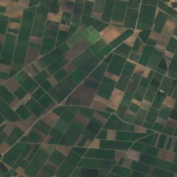
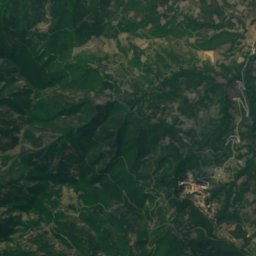
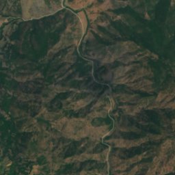
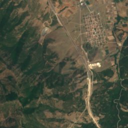
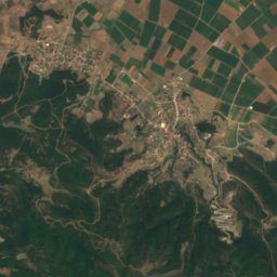
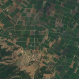
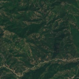
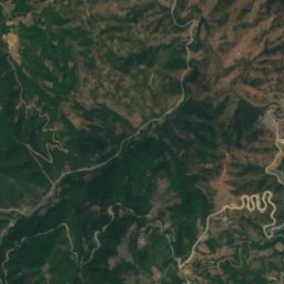
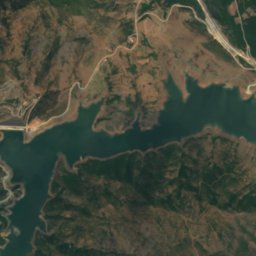
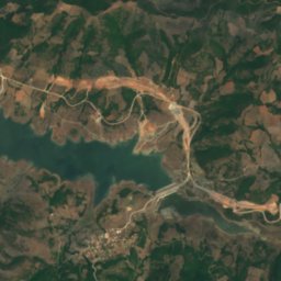
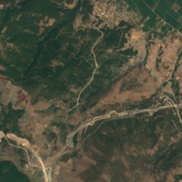
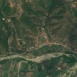
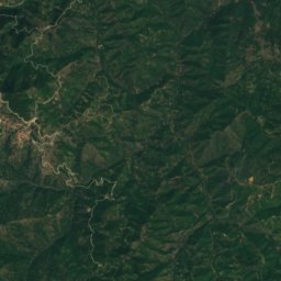
Satellite: Sentinel-2 cloudless 2016 by EOX IT Services GmbH · CC BY 4.0 · Contains modified Copernicus Sentinel data 2016
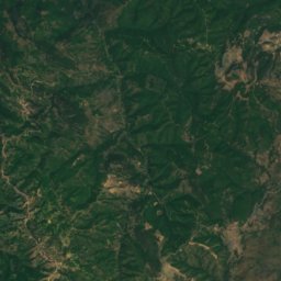
Lake Smokovo
Lake · 337 m
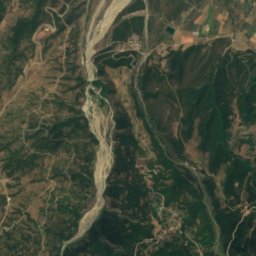
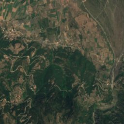
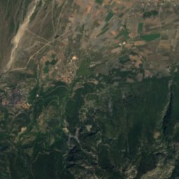
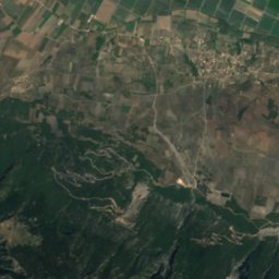
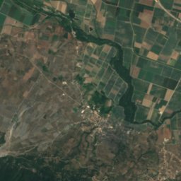
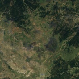
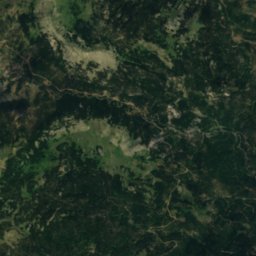
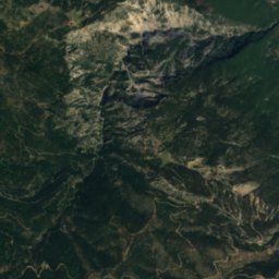
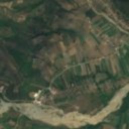
Satellite: Sentinel-2 cloudless 2016 by EOX IT Services GmbH · CC BY 4.0 · Contains modified Copernicus Sentinel data 2016
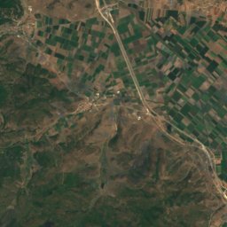
Oiti National Park
National park
Mountains

Photo: User:Future Perfect at Sunrise · CC BY-SA 3.0 · Wikimedia CommonsReport this photo · linked, not stored
Vardousia
2,495 m · Pindus


Heritage

Photo: Σαλαμούρας Σπύρος · CC BY-SA 3.0 gr · Wikimedia CommonsReport this photo · linked, not stored
Koimisis Theotokou monastery, Rentina
protected building in Greece




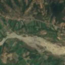
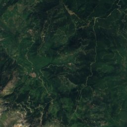
Satellite: Sentinel-2 cloudless 2016 by EOX IT Services GmbH · CC BY 4.0 · Contains modified Copernicus Sentinel data 2016
Makra Kome
archaeological site in Greece