Skip to content
Destinations
Weather & climate
Nature
Outdoors
Culture
Events
Sky & live
Samiko
Photo: Morikanos · CC BY-SA 4.0 · Wikimedia Commons
SamikoReport this photo · linked, not stored
ancient cityKáto Samikó, West Greece

Samiko

archaeological site in Greece
Typeancient city
Built–
Best monthsApr–May · Octweather in Káto Samikó
37.53° N, 21.60° EUTC+3 · Eastern European Summer Time
When to goKáto Samikó · weather score
JanFebMarAprMayJunJulAugSepOctNovDec79October
Best timeApr–May · Oct
October: high / low25° / 13°
iAbout

Samiko in brief

Samiko is an ancient city in Káto Samikó, West Greece, Greece. Fortified acropolis of ancient Elis.

It holds the designation archaeological site in Greece.

For a visit, the weather in Káto Samikó is best in April, May and October; in October afternoons average 25°.

Káto Samikó: weather and travel guide

Facts

Type
ancient city
Designation
archaeological site in Greece
Nearest town
Káto Samikó
Region
West Greece
Coordinates
37.53399, 21.59871
iiLocation

Where to find it

iiiWhen to visit

Weather in Káto Samikó

Climate guide

Month score for sightseeing

Best Apr–May · Oct
49
Jan
56
Feb
74
Mar
84
Apr
84
May
72
Jun
65
Jul
62
Aug
66
Sep
79
Oct
72
Nov
52
Dec
Around here

Káto Samikó and around

Káto Samikó
Photo: Morikanos · CC BY-SA 4.0 · Wikimedia CommonsReport this photo · linked, not stored

Káto Samikó

West Greece · Greece
Apr–May · Octbest months
32°July high
9 maltitude
Káto Samikó

Nature

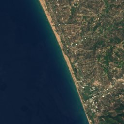
Kaiafas Lake
Photo: Huskarl2000 · Public domain · Wikimedia CommonsReport this photo · linked, not stored
4.0 km S

Kaiafas Lake

Lake · -2 m
Kaiafas Lake
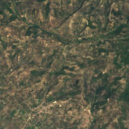
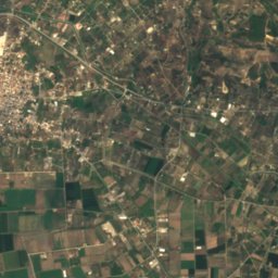
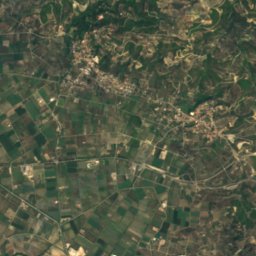
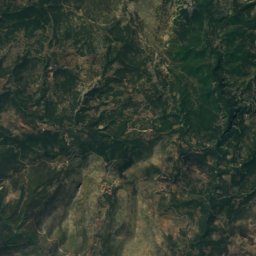
Satellite: Sentinel-2 cloudless 2016 by EOX IT Services GmbH · CC BY 4.0 · Contains modified Copernicus Sentinel data 2016
10 km N

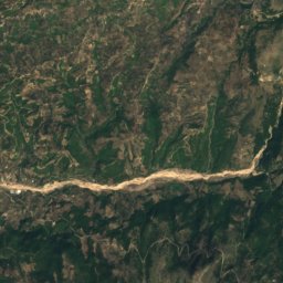
Alfeios Lake

Lake
Alfeios Lake
Alfeios
Photo: Napoleon Vier · CC BY-SA 3.0 · Wikimedia CommonsReport this photo · linked, not stored
15 km NW

Alfeios

River · 2 m
Alfeios

Mountains

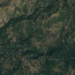
Mount Lykaion
Photo: Danno1 · CC BY-SA 3.0 · Wikimedia CommonsReport this photo · linked, not stored
35 km E

Mount Lykaion

1,421 m
Mount Lykaion
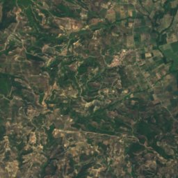
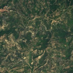
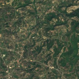
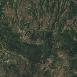
Satellite: Sentinel-2 cloudless 2016 by EOX IT Services GmbH · CC BY 4.0 · Contains modified Copernicus Sentinel data 2016
32 km SE

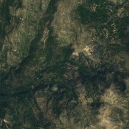
Tetrazion Oros

1,389 m
Tetrazion Oros
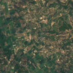
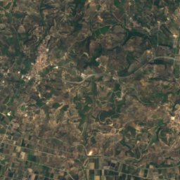
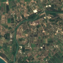
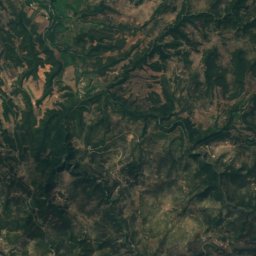
Satellite: Sentinel-2 cloudless 2016 by EOX IT Services GmbH · CC BY 4.0 · Contains modified Copernicus Sentinel data 2016
25 km E

Minthi

1,221 m
Minthi

Heritage

Temple of Zeus in Olympia
Photo: Annatsach · CC BY-SA 4.0 · Wikimedia CommonsReport this photo · linked, not stored
11 km N

Temple of Zeus in Olympia

archaeological site in Greece · 400 BC
Temple of Zeus in Olympia
Philippeion
Photo: Wknight94 talk · CC BY-SA 3.0 · Wikimedia CommonsReport this photo · linked, not stored
11 km N

Philippeion

archaeological site in Greece · 337 BC
Philippeion
Olympia
Photo: dronepicr · CC BY 2.0 · Wikimedia CommonsReport this photo · linked, not stored
11 km N

Olympia

archaeological site in Greece
Olympia

Museums

Archaeological Museum of Olympia
Photo: Joyofmuseums · CC BY-SA 4.0 · Wikimedia CommonsReport this photo · linked, not stored
11 km N

Archaeological Museum of Olympia

Archaeological museum · 1882
Archaeological Museum of Olympia
Museum of the History of the Olympic games of antiquity
Photo: Joyofmuseums · CC BY-SA 4.0 · Wikimedia CommonsReport this photo · linked, not stored
11 km N

Museum of the History of the Olympic games of antiquity

2004
Museum of the History of the Olympic games of antiquity
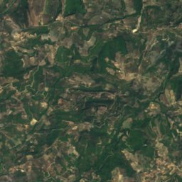
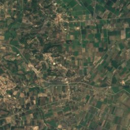
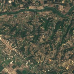
Satellite: Sentinel-2 cloudless 2016 by EOX IT Services GmbH · CC BY 4.0 · Contains modified Copernicus Sentinel data 2016
11 km N

Museum of the History of the Excavations in Olympia

Museum of the History of the Excavations in Olympia