Skip to content
Destinations
Weather & climate
Nature
Outdoors
Culture
Events
Sky & live
Phaistos
Photo: Jerzy Strzelecki · CC BY-SA 3.0 · Wikimedia Commons
PhaistosReport this photo · linked, not stored
polisKamilari, Crete

Phaistos

archaeological site in Greecepart of UNESCO World Heritage SiteBuilt 3000 BC
Typepolis
Built3000 BC
Best monthsApr–Junweather in Kamilari
35.05° N, 24.81° EUTC+3 · Eastern European Summer Time
Standing for5,026 years
built 3000 BCtoday 2026
When to goKamilari · weather score
JanFebMarAprMayJunJulAugSepOctNovDec78October
Best timeApr–Jun
October: high / low24° / 18°
iAbout

Phaistos in brief

Phaistos is a polis in Kamilari, Crete, Greece.

It holds the designations archaeological site in Greece and part of UNESCO World Heritage Site.

The polis dates from 3000 bc.

For a visit, the weather in Kamilari is best in April, May and June; in October afternoons average 24°.

Kamilari: weather and travel guide

Facts

Type
polis
Designation
archaeological site in Greece
part of UNESCO World Heritage Site
Built
3000 BC
Nearest town
Kamilari
Region
Crete
Coordinates
35.05127, 24.81092
iiLocation

Where to find it

iiiWhen to visit

Weather in Kamilari

Climate guide

Month score for sightseeing

Best Apr–Jun
51
Jan
52
Feb
71
Mar
87
Apr
91
May
91
Jun
80
Jul
78
Aug
81
Sep
78
Oct
75
Nov
58
Dec
Around here

Kamilari and around

Kamilari
Photo: Schuppi · CC BY-SA 3.0 · Wikimedia CommonsReport this photo · linked, not stored

Kamilari

Crete · Greece
Apr–Junbest months
29°July high
105 maltitude
Kamilari

Nature

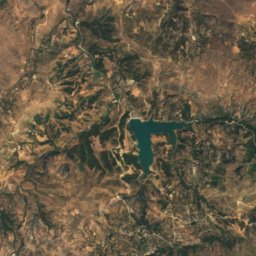
Phaneromeni reservoir
Photo: C messier · CC BY-SA 4.0 · Wikimedia CommonsReport this photo · linked, not stored
9.8 km NE

Phaneromeni reservoir

Lake
Phaneromeni reservoir
Idaean Cave
Photo: Olaf Tausch · CC BY 3.0 · Wikimedia CommonsReport this photo · linked, not stored
20 km N

Idaean Cave

Cave
Idaean Cave
Kamares Cave
Photo: Zde · CC BY-SA 3.0 · Wikimedia CommonsReport this photo · linked, not stored
16 km N

Kamares Cave

Cave
Kamares Cave

Mountains

Mount Ida
Photo: Jebulon · CC0 · Wikimedia CommonsReport this photo · linked, not stored
22 km N

Mount Ida

2,456 m
Mount Ida
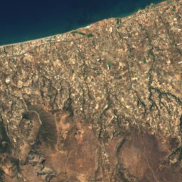
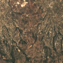
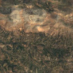
Satellite: Sentinel-2 cloudless 2016 by EOX IT Services GmbH · CC BY 4.0 · Contains modified Copernicus Sentinel data 2016
21 km N

Mount Agathias

2,424 m
Mount Agathias
Mount Kedros
Photo: C messier · CC BY-SA 3.0 · Wikimedia CommonsReport this photo · linked, not stored
23 km NW

Mount Kedros

1,777 m
Mount Kedros

Heritage

Gortyn
Photo: Olaf Tausch · CC BY-SA 3.0 · Wikimedia CommonsReport this photo · linked, not stored
15 km E

Gortyn

archaeological site in Greece
Gortyn
Monastery of Vrontesios
Photo: Georgios Pazios (Alaniaris) · Attribution · Wikimedia CommonsReport this photo · linked, not stored
15 km NE

Monastery of Vrontesios

archaeological site in Greece · 1301
Monastery of Vrontesios
Hodegetria Monastery
Photo: C messier · CC BY-SA 4.0 · Wikimedia CommonsReport this photo · linked, not stored
6.8 km S

Hodegetria Monastery

protected building in Greece · 1400
Hodegetria Monastery

Museums

Museum of Cretan Ethnology
Photo: JopkeB · CC BY-SA 4.0 · Wikimedia CommonsReport this photo · linked, not stored
4.5 km NE

Museum of Cretan Ethnology

Ethnographic museum · 1973
Museum of Cretan Ethnology
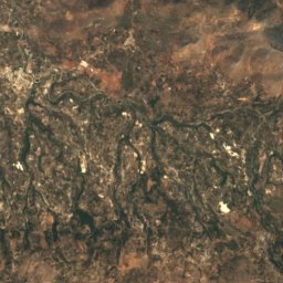
Satellite: Sentinel-2 cloudless 2016 by EOX IT Services GmbH · CC BY 4.0 · Contains modified Copernicus Sentinel data 2016
14 km E

Mesara Archaeological Museum

Archaeological museum
Mesara Archaeological Museum