Skip to content
Destinations
Weather & climate
Nature
Outdoors
Culture
Events
Sky & live
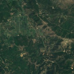
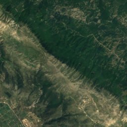
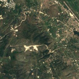
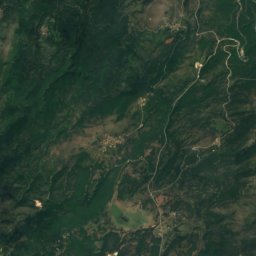
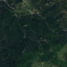
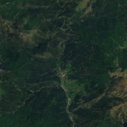
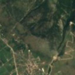
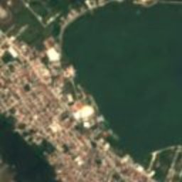
Satellite: Sentinel-2 cloudless 2016 by EOX IT Services GmbH · CC BY 4.0 · Contains modified Copernicus Sentinel data 2016
polisZoodóchos, Epirus

Passaron

archaeological site in Greece
Typepolis
Built–
Best monthsMay · Sep–Octweather in Zoodóchos
39.71° N, 20.77° EUTC+3 · Eastern European Summer Time
When to goZoodóchos · weather score
JanFebMarAprMayJunJulAugSepOctNovDec80October
Best timeMay · Sep–Oct
October: high / low19° / 9°
iAbout

Passaron in brief

Passaron is a polis in Zoodóchos, Epirus, Greece.

It holds the designation archaeological site in Greece.

For a visit, the weather in Zoodóchos is best in May, September and October; in October afternoons average 19°.

Zoodóchos: weather and travel guide

Facts

Type
polis
Designation
archaeological site in Greece
Nearest town
Zoodóchos
Region
Epirus
Coordinates
39.71039, 20.76619
iiLocation

Where to find it

iiiWhen to visit

Weather in Zoodóchos

Climate guide

Month score for sightseeing

Best May · Sep–Oct
26
Jan
29
Feb
40
Mar
68
Apr
76
May
76
Jun
69
Jul
69
Aug
79
Sep
80
Oct
43
Nov
22
Dec
Around here

Zoodóchos and around
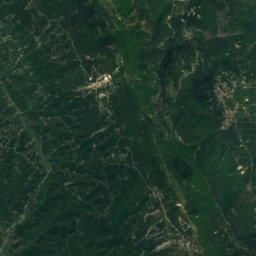
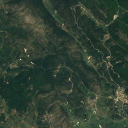
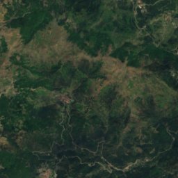
Satellite: Sentinel-2 cloudless 2016 by EOX IT Services GmbH · CC BY 4.0 · Contains modified Copernicus Sentinel data 2016

Zoodóchos

Epirus · Greece
May · Sep–Octbest months
30°July high
599 maltitude
Zoodóchos

Nature

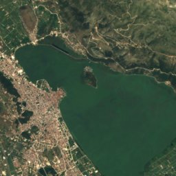
Lake Pamvotida
Photo: Unknown author · CC BY-SA 2.0 de · Wikimedia CommonsReport this photo · linked, not stored
11 km E

Lake Pamvotida

Lake · 470 m
Lake Pamvotida
Cave of Perama
Photo: PaigePhault · CC0 · Wikimedia CommonsReport this photo · linked, not stored
7.0 km E

Cave of Perama

Cave · 480 m
Cave of Perama
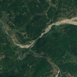
Tyria
Photo: Ristin.9 · CC BY-SA 4.0 · Wikimedia CommonsReport this photo · linked, not stored
20 km W

Tyria

River
Tyria

Mountains
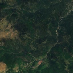
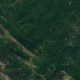
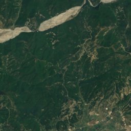
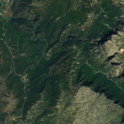
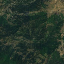
Satellite: Sentinel-2 cloudless 2016 by EOX IT Services GmbH · CC BY 4.0 · Contains modified Copernicus Sentinel data 2016
30 km N

Gamila

2,497 m
Gamila
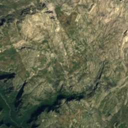
Tymfi
Photo: Kkostagiannis · CC BY-SA 3.0 · Wikimedia CommonsReport this photo · linked, not stored
34 km N

Tymfi

2,497 m · Pindus
Tymfi
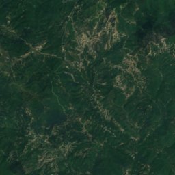
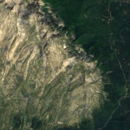
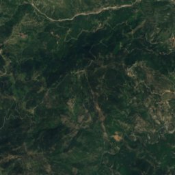
Satellite: Sentinel-2 cloudless 2016 by EOX IT Services GmbH · CC BY 4.0 · Contains modified Copernicus Sentinel data 2016
38 km NE

Lygkos

2,177 m · Pindus
Lygkos

Heritage

Ioannina Castle
Photo: Bsm15 · CC BY-SA 3.0 · Wikimedia CommonsReport this photo · linked, not stored
8.5 km E

Ioannina Castle

archaeological site in Greece · 1378
Ioannina Castle
Zosimaia School
Photo: Mixalis08 · CC BY-SA 4.0 · Wikimedia CommonsReport this photo · linked, not stored
7.8 km E

Zosimaia School

protected building in Greece · 1828
Zosimaia School
Veli Pasha Mosque
Photo: Iolchos07 · CC BY-SA 4.0 · Wikimedia CommonsReport this photo · linked, not stored
8.3 km E

Veli Pasha Mosque

archaeological site in Greece
Veli Pasha Mosque

Museums

Aslan Pasha Mosque
Photo: Jean Housen · CC BY-SA 3.0 · Wikimedia CommonsReport this photo · linked, not stored
8.4 km E

Aslan Pasha Mosque

1618
Aslan Pasha Mosque
Municipal Ethnographic Museum of Ioannina
Photo: Fingalo · CC BY-SA 2.0 de · Wikimedia CommonsReport this photo · linked, not stored
8.4 km E

Municipal Ethnographic Museum of Ioannina

1933
Municipal Ethnographic Museum of Ioannina
Municipal Art Gallery of Ioannina
Photo: Tilemahos Efthimiadis from Athens, Greece · CC BY 2.0 · Wikimedia CommonsReport this photo · linked, not stored
7.7 km E

Municipal Art Gallery of Ioannina

Art museum · 1960
Municipal Art Gallery of Ioannina