
mountain rangeKosmas, Peloponnese
Parnon
Natura 2000 site
Typemountain range
Built–
Best monthsJun–Augweather in Kosmas
37.11° N, 22.73° EUTC+2 · Eastern European Standard Time
When to goKosmas · weather score
Best timeJun–Aug
October: high / low17° / 8°
iAbout
Parnon in brief
Parnon is a mountain range in Kosmas, Peloponnese, Greece.
It holds the designation Natura 2000 site.
For a visit, the weather in Kosmas is best in June, July and August; in October afternoons average 17°.
Facts
- Type
- mountain range
- Designation
- Natura 2000 site
- Nearest town
- Kosmas
- Region
- Peloponnese
- Coordinates
- 37.11000, 22.73000
iiLocation
Where to find it
iiiWhen to visit
Climate guideWeather in Kosmas
Month score for sightseeing
Best Jun–Aug24
Jan
28
Feb
35
Mar
62
Apr
87
May
90
Jun
90
Jul
93
Aug
86
Sep
78
Oct
41
Nov
26
Dec
Around here
Kosmas and around

Nature
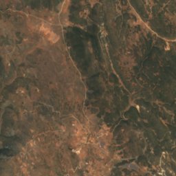
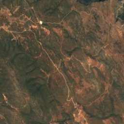
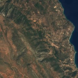

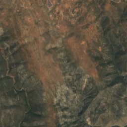
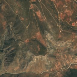
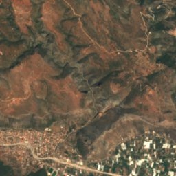
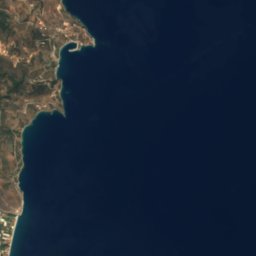

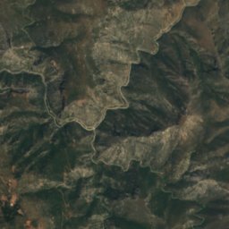
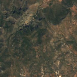
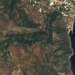

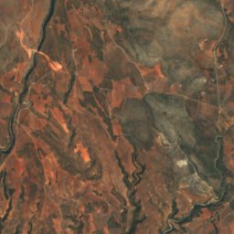
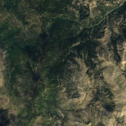
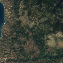
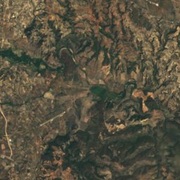
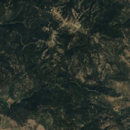
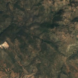
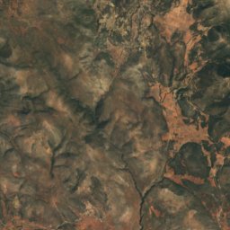
Satellite: Sentinel-2 cloudless 2016 by EOX IT Services GmbH · CC BY 4.0 · Contains modified Copernicus Sentinel data 2016
Cave at Brasiai where Ino nursed Dionysos
Cave
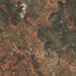
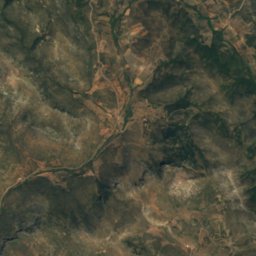
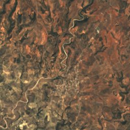
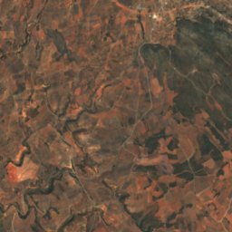
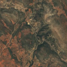
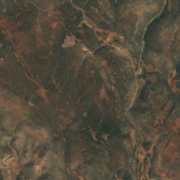
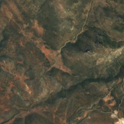
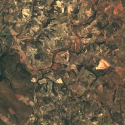
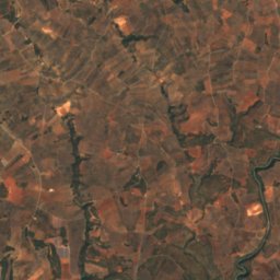
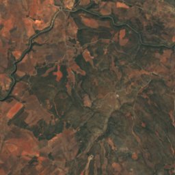
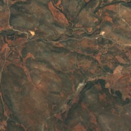
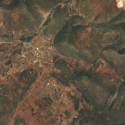
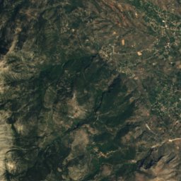
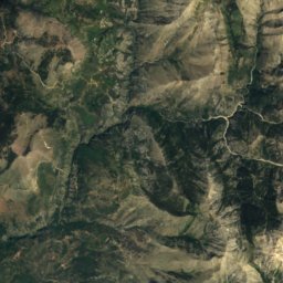
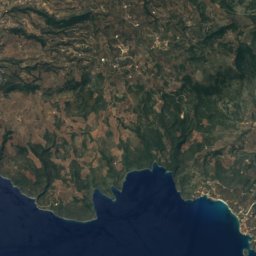
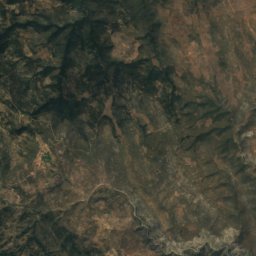
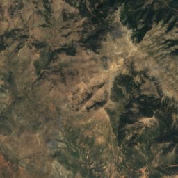
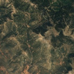
Satellite: Sentinel-2 cloudless 2016 by EOX IT Services GmbH · CC BY 4.0 · Contains modified Copernicus Sentinel data 2016
Cave Kouveleiki Β
Cave
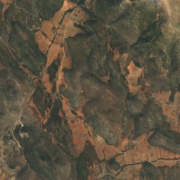
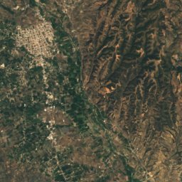
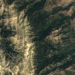
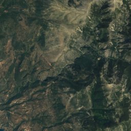
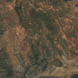
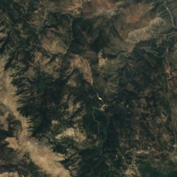
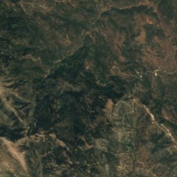
Satellite: Sentinel-2 cloudless 2016 by EOX IT Services GmbH · CC BY 4.0 · Contains modified Copernicus Sentinel data 2016
Cave Kouveleiki A.
Cave
Mountains

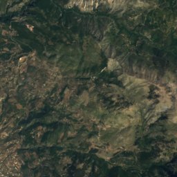
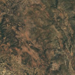
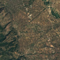
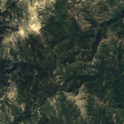
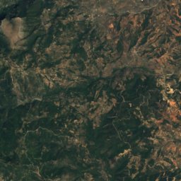
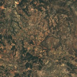
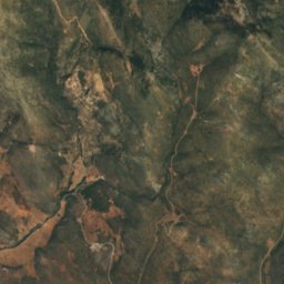
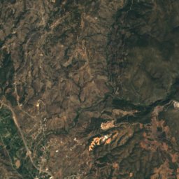
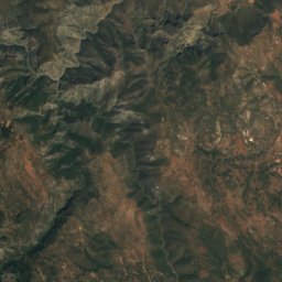
Satellite: Sentinel-2 cloudless 2016 by EOX IT Services GmbH · CC BY 4.0 · Contains modified Copernicus Sentinel data 2016
Derneki
1,576 m
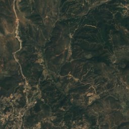
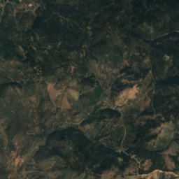
Satellite: Sentinel-2 cloudless 2016 by EOX IT Services GmbH · CC BY 4.0 · Contains modified Copernicus Sentinel data 2016
Strongilovouni
1,547 m


