
mountainAsómatoi, East Macedonia and Thrace
Papikio
archaeological site in Greece
Typemountain
Built–
Best monthsApr–May · Octweather in Asómatoi
41.22° N, 25.30° EUTC+2 · Eastern European Standard Time
When to goAsómatoi · weather score
Best timeApr–May · Oct
October: high / low21° / 10°
iAbout
Papikio in brief
Papikio is a mountain in Asómatoi, East Macedonia and Thrace, Greece.
It holds the designation archaeological site in Greece.
For a visit, the weather in Asómatoi is best in April, May and October; in October afternoons average 21°.
Facts
- Type
- mountain
- Designation
- archaeological site in Greece
- Nearest town
- Asómatoi
- Region
- East Macedonia and Thrace
- Coordinates
- 41.22154, 25.30340
iiLocation
Where to find it
iiiWhen to visit
Climate guideWeather in Asómatoi
Month score for sightseeing
Best Apr–May · Oct32
Jan
38
Feb
54
Mar
80
Apr
76
May
60
Jun
55
Jul
59
Aug
76
Sep
84
Oct
63
Nov
32
Dec
Around here
Asómatoi and around

Nature


Mountains
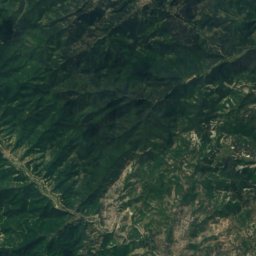
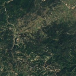
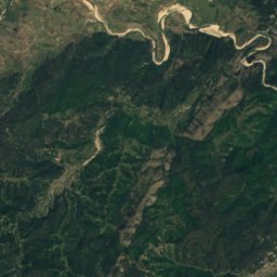
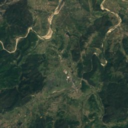
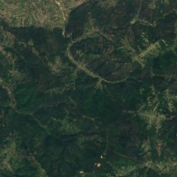
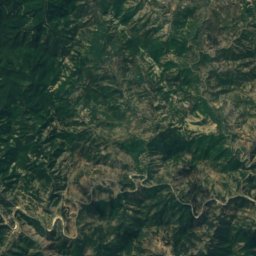
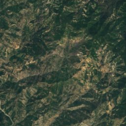
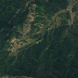
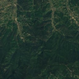
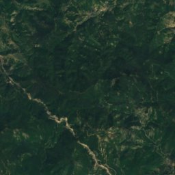
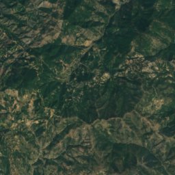
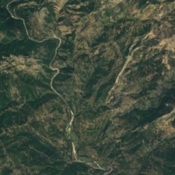
Satellite: Sentinel-2 cloudless 2016 by EOX IT Services GmbH · CC BY 4.0 · Contains modified Copernicus Sentinel data 2016
Komotini Mountains
1,483 m
Satellite: Sentinel-2 cloudless 2016 by EOX IT Services GmbH · CC BY 4.0 · Contains modified Copernicus Sentinel data 2016
Veykata
1,463 m · Rhodope Mountains
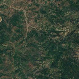
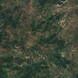
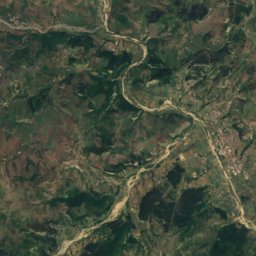
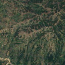
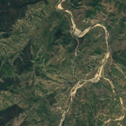
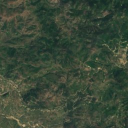
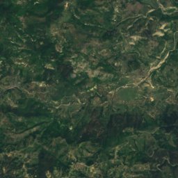
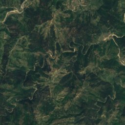
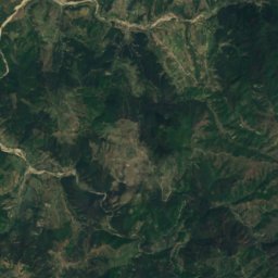
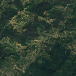
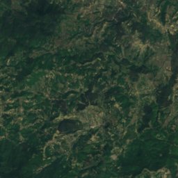
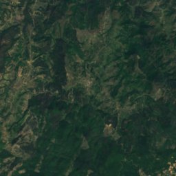
Satellite: Sentinel-2 cloudless 2016 by EOX IT Services GmbH · CC BY 4.0 · Contains modified Copernicus Sentinel data 2016
Sveti Kostadin
639 m
Heritage










Satellite: Sentinel-2 cloudless 2016 by EOX IT Services GmbH · CC BY 4.0 · Contains modified Copernicus Sentinel data 2016
Mosynopolis
archaeological site in Greece
Museums

Archaeological Museum of Komotini
Archaeological museum · 1976


Satellite: Sentinel-2 cloudless 2016 by EOX IT Services GmbH · CC BY 4.0 · Contains modified Copernicus Sentinel data 2016
Basketry Museum of the Roma
1995




Satellite: Sentinel-2 cloudless 2016 by EOX IT Services GmbH · CC BY 4.0 · Contains modified Copernicus Sentinel data 2016