
human settlementNymfaio, West Macedonia
Nymfaio
traditional settlement in Greece
Typehuman settlement
Built–
Best monthsJul–Sepweather in Nymfaio
40.64° N, 21.49° EUTC+2 · Eastern European Standard Time
When to goNymfaio · weather score
Best timeJul–Sep
October: high / low13° / 4°
iAbout
Nymfaio in brief
Nymfaio is a human settlement in Nymfaio, West Macedonia, Greece.
It holds the designation traditional settlement in Greece.
For a visit, the weather in Nymfaio is best in July, August and September; in October afternoons average 13°.
Facts
- Type
- human settlement
- Designation
- traditional settlement in Greece
- Nearest town
- Nymfaio
- Region
- West Macedonia
- Coordinates
- 40.64444, 21.49444
iiLocation
Where to find it
iiiWhen to visit
Climate guideWeather in Nymfaio
Month score for sightseeing
Best Jul–Sep29
Jan
31
Feb
28
Mar
35
Apr
60
May
73
Jun
83
Jul
85
Aug
80
Sep
55
Oct
30
Nov
24
Dec
Around here
Nymfaio and around

Nature


Mountains
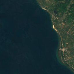
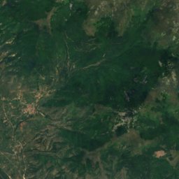
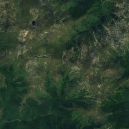
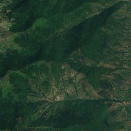
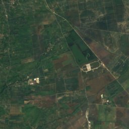

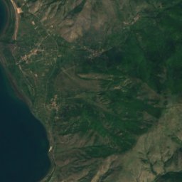
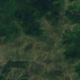
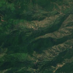
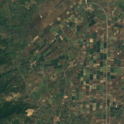
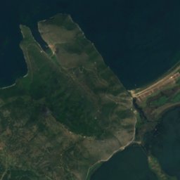
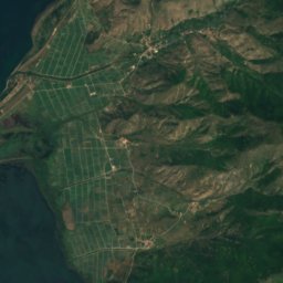
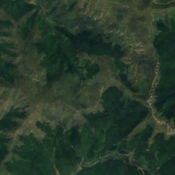
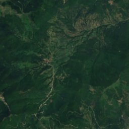
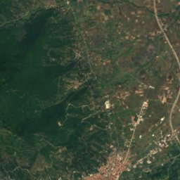
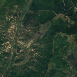
Satellite: Sentinel-2 cloudless 2016 by EOX IT Services GmbH · CC BY 4.0 · Contains modified Copernicus Sentinel data 2016
Varnous
2,334 m
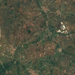
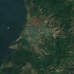
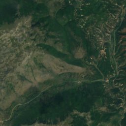
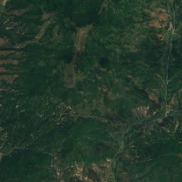
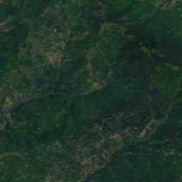
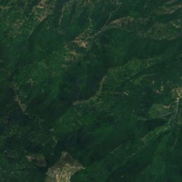
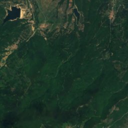
Satellite: Sentinel-2 cloudless 2016 by EOX IT Services GmbH · CC BY 4.0 · Contains modified Copernicus Sentinel data 2016
Verno
2,128 m

Heritage

Saints Cosmas and Damian Monastery, Melissotopos
protected building in Greece · 1457

Satellite: Sentinel-2 cloudless 2016 by EOX IT Services GmbH · CC BY 4.0 · Contains modified Copernicus Sentinel data 2016
Polykeraso
protected building in Greece
Museums





Satellite: Sentinel-2 cloudless 2016 by EOX IT Services GmbH · CC BY 4.0 · Contains modified Copernicus Sentinel data 2016
Museum of Gold and Silver-smithery, Folklore, and History

Satellite: Sentinel-2 cloudless 2016 by EOX IT Services GmbH · CC BY 4.0 · Contains modified Copernicus Sentinel data 2016
Lechovo Folklore Museum






Satellite: Sentinel-2 cloudless 2016 by EOX IT Services GmbH · CC BY 4.0 · Contains modified Copernicus Sentinel data 2016