


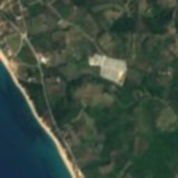






















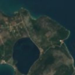
Satellite: Sentinel-2 cloudless 2016 by EOX IT Services GmbH · CC BY 4.0 · Contains modified Copernicus Sentinel data 2016
ancient cityMytikas, Epirus
Nicopolis
archaeological site in GreeceTentative World Heritage SiteBuilt 28 BC
Typeancient city
Built28 BC
Best monthsApr–Junweather in Mytikas
39.01° N, 20.74° EUTC+3 · Eastern European Summer Time
Standing for2,054 years
built 28 BCtoday 2026
When to goMytikas · weather score
Best timeApr–Jun
October: high / low22° / 16°
iAbout
Nicopolis in brief
Nicopolis is an ancient city in Mytikas, Epirus, Greece. Ancient city founded by Augustus after the battle of Actium.
It holds the designations archaeological site in Greece and Tentative World Heritage Site.
The ancient city dates from 28 bc.
For a visit, the weather in Mytikas is best in April, May and June; in October afternoons average 22°.
iiLocation
Where to find it
iiiWhen to visit
Climate guideWeather in Mytikas
Month score for sightseeing
Best Apr–Jun41
Jan
45
Feb
57
Mar
83
Apr
83
May
84
Jun
79
Jul
74
Aug
78
Sep
79
Oct
68
Nov
44
Dec
Around here
Mytikas and around



Nature



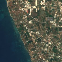
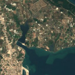
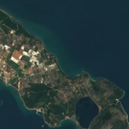
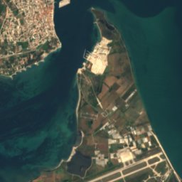
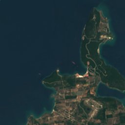
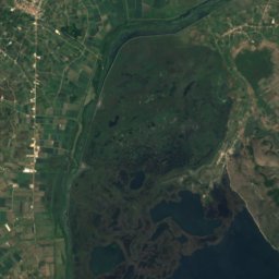
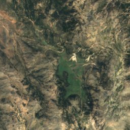
Satellite: Sentinel-2 cloudless 2016 by EOX IT Services GmbH · CC BY 4.0 · Contains modified Copernicus Sentinel data 2016
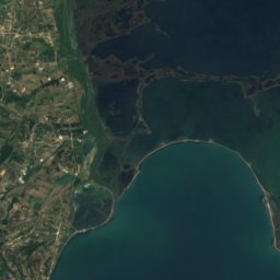
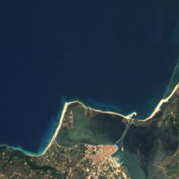
Pogonitsa
Lake




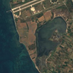
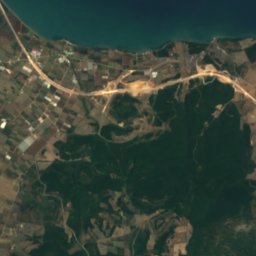
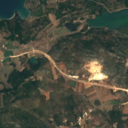
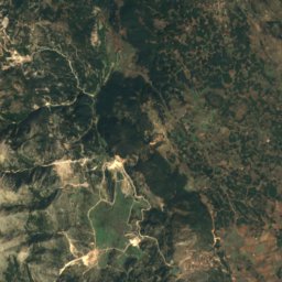
Satellite: Sentinel-2 cloudless 2016 by EOX IT Services GmbH · CC BY 4.0 · Contains modified Copernicus Sentinel data 2016
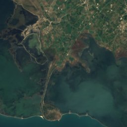
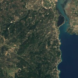
Mikri Saltini
Lake
Mountains
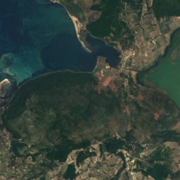
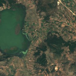
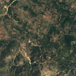
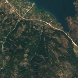
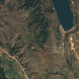
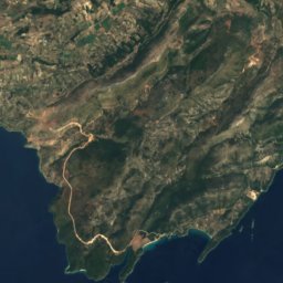
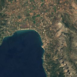
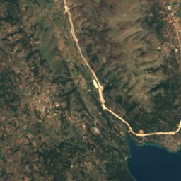
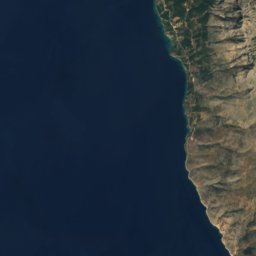
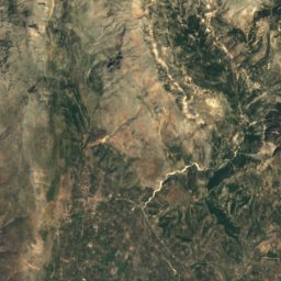
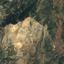
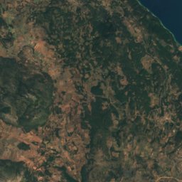
Satellite: Sentinel-2 cloudless 2016 by EOX IT Services GmbH · CC BY 4.0 · Contains modified Copernicus Sentinel data 2016
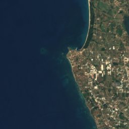
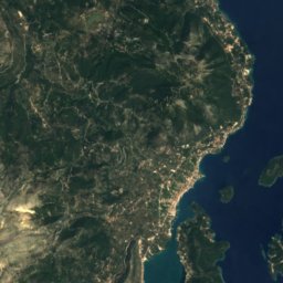
Psili Koryfi, West Greece
1,589 m

Heritage

Photo: Frédéric Boissonnas · Public domain · Wikimedia CommonsReport this photo · linked, not stored
St. George's Fort
archaeological site in Greece · 1807

Photo: The postcard was published by Nikitas Tsoutsanis in 1920. · Public domain · Wikimedia CommonsReport this photo · linked, not stored
Pantokratoras Castle
archaeological site in Greece
Museums

Photo: Χαράλαμπος Γκούβας (Harry Gouvas) · CC BY-SA 4.0 · Wikimedia CommonsReport this photo · linked, not stored
Archaeological Museum of Nicopolis
Archaeological museum

Satellite: Sentinel-2 cloudless 2016 by EOX IT Services GmbH · CC BY 4.0 · Contains modified Copernicus Sentinel data 2016
Leandros Spartiotis Art Gallery
Art museum · 2010






Satellite: Sentinel-2 cloudless 2016 by EOX IT Services GmbH · CC BY 4.0 · Contains modified Copernicus Sentinel data 2016