
Photo: kallerna · CC BY-SA 4.0 · Wikimedia Commons
Mount OlympusReport this photo · linked, not stored
Mount OlympusReport this photo · linked, not stored
Natura 2000 sitePythio, Thessaly
Mount Olympus
Special Area of ConservationWorld Heritage SiteBuilt 1938
TypeNatura 2000 site
Built1938
Best monthsJun · Aug–Sepweather in Pythio
40.08° N, 22.35° EUTC+3 · Eastern European Summer Time
Standing for88 years
built 1938today 2026
When to goPythio · weather score
Best timeJun · Aug–Sep
October: high / low17° / 9°
iAbout
Mount Olympus in brief
Mount Olympus is a natura 2000 site in Pythio, Thessaly, Greece.
It holds the designations Special Area of Conservation, World Heritage Site and Special Protection Area.
The natura 2000 site dates from 1938.
For a visit, the weather in Pythio is best in June, August and September; in October afternoons average 17°.
iiLocation
Where to find it
iiiWhen to visit
Climate guideWeather in Pythio
Month score for sightseeing
Best Jun · Aug–Sep34
Jan
36
Feb
35
Mar
65
Apr
77
May
80
Jun
77
Jul
82
Aug
82
Sep
79
Oct
42
Nov
31
Dec
Around here
Pythio and around

Nature

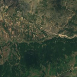
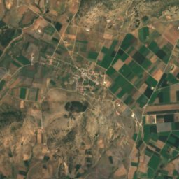
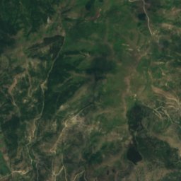
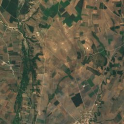
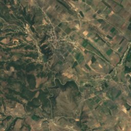
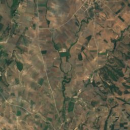
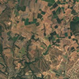
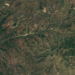
Satellite: Sentinel-2 cloudless 2016 by EOX IT Services GmbH · CC BY 4.0 · Contains modified Copernicus Sentinel data 2016
Titarisios
River
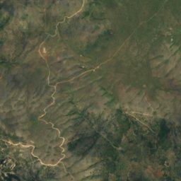
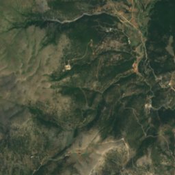
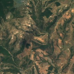
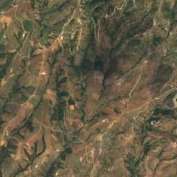
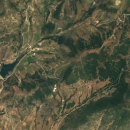
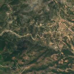
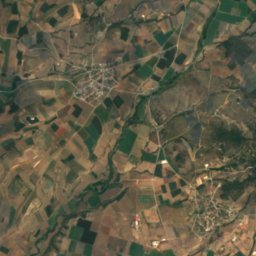
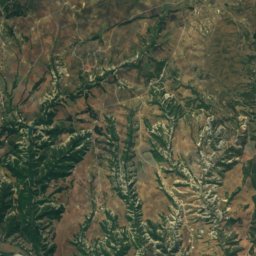
Satellite: Sentinel-2 cloudless 2016 by EOX IT Services GmbH · CC BY 4.0 · Contains modified Copernicus Sentinel data 2016
Sarantaporos, Thessaly
River
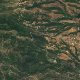
Mountains

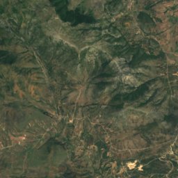
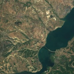
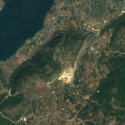
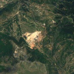
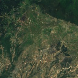
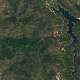
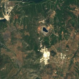
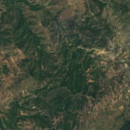
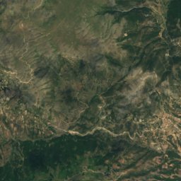
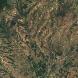
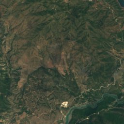
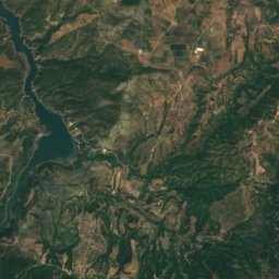
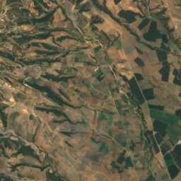
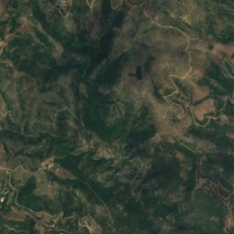
Satellite: Sentinel-2 cloudless 2016 by EOX IT Services GmbH · CC BY 4.0 · Contains modified Copernicus Sentinel data 2016
Cambunian mountains
1,615 m
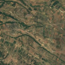
Heritage



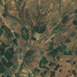
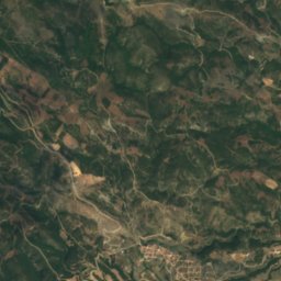
Satellite: Sentinel-2 cloudless 2016 by EOX IT Services GmbH · CC BY 4.0 · Contains modified Copernicus Sentinel data 2016
Tripolis
archaeological site in Greece




Satellite: Sentinel-2 cloudless 2016 by EOX IT Services GmbH · CC BY 4.0 · Contains modified Copernicus Sentinel data 2016
Agia Triada monastery Livadi
protected building in Greece