Skip to content
Destinations
Weather & climate
Nature
Outdoors
Culture
Events
Sky & live
Midea
Photo: Stellea · CC BY-SA 3.0 · Wikimedia Commons
MideaReport this photo · linked, not stored
Dendra
Photo: Stellea · CC BY-SA 3.0 · Wikimedia Commons
DendraReport this photo · linked, not stored
Dendra
ancient cityMánesis, Peloponnese

Midea

archaeological site in Greece
Typeancient city
Built–
Best monthsApr–May · Octweather in Mánesis
37.65° N, 22.84° EUTC+3 · Eastern European Summer Time
When to goMánesis · weather score
JanFebMarAprMayJunJulAugSepOctNovDec85October
Best timeApr–May · Oct
October: high / low25° / 15°
iAbout

Midea in brief

Midea is an ancient city in Mánesis, Peloponnese, Greece.

It holds the designation archaeological site in Greece.

For a visit, the weather in Mánesis is best in April, May and October; in October afternoons average 25°.

Mánesis: weather and travel guide

Facts

Type
ancient city
Designation
archaeological site in Greece
Nearest town
Mánesis
Region
Peloponnese
Coordinates
37.64977, 22.84123
iiLocation

Where to find it

iiiWhen to visit

Weather in Mánesis

Climate guide

Month score for sightseeing

Best Apr–May · Oct
46
Jan
55
Feb
76
Mar
86
Apr
80
May
58
Jun
53
Jul
55
Aug
65
Sep
85
Oct
77
Nov
54
Dec
ivNearby

More heritage close by

All monuments in Greece
Dendra
Photo: Stellea · CC BY-SA 3.0 · Wikimedia CommonsReport this photo · linked, not stored

Dendra

1.6 km NW
archaeological site in Greece
Dendra
Around here

Mánesis and around

Mánesis
Photo: Stellea · CC BY-SA 3.0 · Wikimedia CommonsReport this photo · linked, not stored

Mánesis

Peloponnese · Greece
Apr–May · Octbest months
35°July high
78 maltitude
Mánesis

Nature

Inachos
Photo: NikosLikomitros · CC0 · Wikimedia CommonsReport this photo · linked, not stored
11 km SW

Inachos

River
Inachos
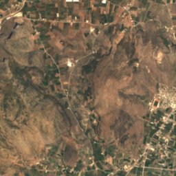
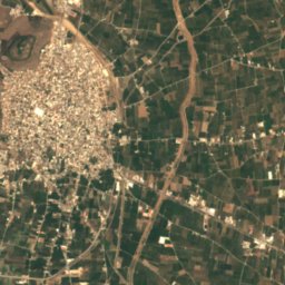
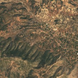
Satellite: Sentinel-2 cloudless 2016 by EOX IT Services GmbH · CC BY 4.0 · Contains modified Copernicus Sentinel data 2016
8.7 km W

Xerias, Peloponnese

River
Xerias, Peloponnese
Bourtzi
Photo: Stolbovsky · CC BY-SA 3.0 · Wikimedia CommonsReport this photo · linked, not stored
11 km S

Bourtzi

Island
Bourtzi

Mountains

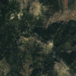
Satellite: Sentinel-2 cloudless 2016 by EOX IT Services GmbH · CC BY 4.0 · Contains modified Copernicus Sentinel data 2016
38 km W

Mount Trachy

1,808 m
Mount Trachy
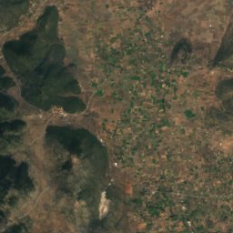
Satellite: Sentinel-2 cloudless 2016 by EOX IT Services GmbH · CC BY 4.0 · Contains modified Copernicus Sentinel data 2016
38 km W

Skiathis

1,778 m
Skiathis
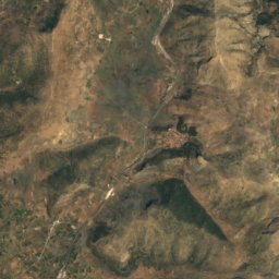
Satellite: Sentinel-2 cloudless 2016 by EOX IT Services GmbH · CC BY 4.0 · Contains modified Copernicus Sentinel data 2016
28 km W

Artemisio

1,771 m
Artemisio

Heritage
Satellite: Sentinel-2 cloudless 2016 by EOX IT Services GmbH · CC BY 4.0 · Contains modified Copernicus Sentinel data 2016
0.4 km S

Dendra

archaeological site in Greece
Dendra
Mycenae
Photo: Andreas Trepte · CC BY-SA 2.5 · Wikimedia CommonsReport this photo · linked, not stored
9.9 km NW

Mycenae

archaeological site in Greece
Mycenae
Satellite: Sentinel-2 cloudless 2016 by EOX IT Services GmbH · CC BY 4.0 · Contains modified Copernicus Sentinel data 2016
9.9 km NW

Lion Gate

archaeological site in Greece · 1299 BC
Lion Gate

Museums

Archaeological Museum of Nafplion
Photo: C messier · CC BY-SA 4.0 · Wikimedia CommonsReport this photo · linked, not stored
11 km S

Archaeological Museum of Nafplion

Archaeological museum
Archaeological Museum of Nafplion
Archaeological Museum of Argos
Photo: O.Mustafin · CC0 · Wikimedia CommonsReport this photo · linked, not stored
9.2 km W

Archaeological Museum of Argos

Archaeological museum · 1957
Archaeological Museum of Argos
Satellite: Sentinel-2 cloudless 2016 by EOX IT Services GmbH · CC BY 4.0 · Contains modified Copernicus Sentinel data 2016
11 km S

Peloponnesian Folklore Foundation

1974
Peloponnesian Folklore Foundation