
Photo: Ziegler175 · CC BY-SA 3.0 · Wikimedia Commons
Loukou monasteryReport this photo · linked, not stored
Loukou monasteryReport this photo · linked, not stored
monasteryKato Doliana, Peloponnese
Loukou monastery
archaeological site in Greeceprotected building in GreeceBuilt 1117
Typemonastery
Built1117
Best monthsApr–May · Octweather in Kato Doliana
37.41° N, 22.68° EUTC+2 · Eastern European Standard Time
Standing for909 years
built 1117today 2026
When to goKato Doliana · weather score
Best timeApr–May · Oct
October: high / low25° / 13°
iAbout
Loukou monastery in brief
Loukou monastery is a monastery in Kato Doliana, Peloponnese, Greece.
It holds the designations archaeological site in Greece and protected building in Greece.
The monastery dates from 1117.
For a visit, the weather in Kato Doliana is best in April, May and October; in October afternoons average 25°.
Facts
- Type
- monastery
- Designation
- archaeological site in Greece
- protected building in Greece
- Built
- 1117
- Nearest town
- Kato Doliana
- Region
- Peloponnese
- Coordinates
- 37.41378, 22.68355
iiLocation
Where to find it
iiiWhen to visit
Climate guideWeather in Kato Doliana
Month score for sightseeing
Best Apr–May · Oct43
Jan
53
Feb
76
Mar
84
Apr
79
May
60
Jun
55
Jul
56
Aug
65
Sep
83
Oct
75
Nov
53
Dec
ivNearby
All monuments in GreeceMore heritage close by
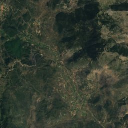
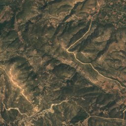
Satellite: Sentinel-2 cloudless 2016 by EOX IT Services GmbH · CC BY 4.0 · Contains modified Copernicus Sentinel data 2016
Villa of Herodes Atticus
0.3 km NE
archaeological site in Greece
Around here
Kato Doliana and around

Nature

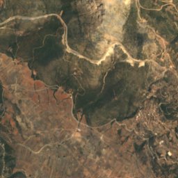
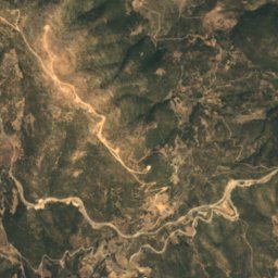
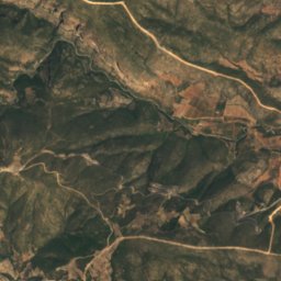
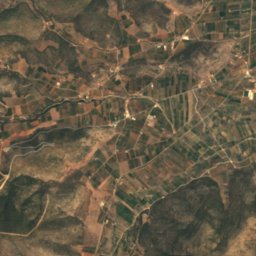
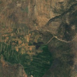
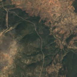
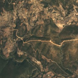
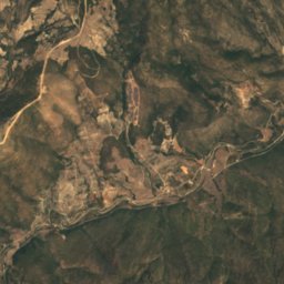
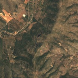
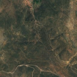
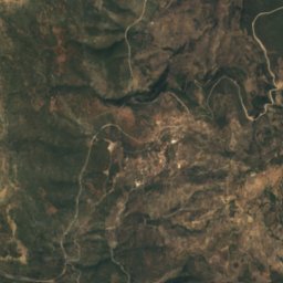
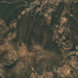
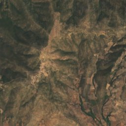
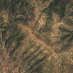
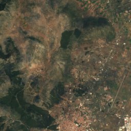
Satellite: Sentinel-2 cloudless 2016 by EOX IT Services GmbH · CC BY 4.0 · Contains modified Copernicus Sentinel data 2016
Cave of Andritsa
Cave

Mountains
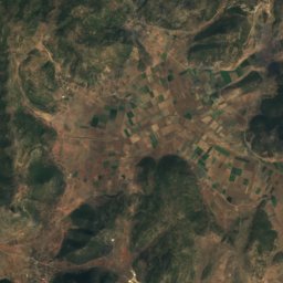
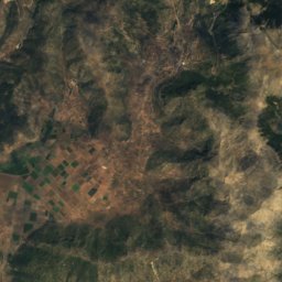
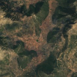
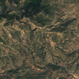
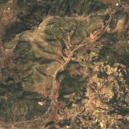
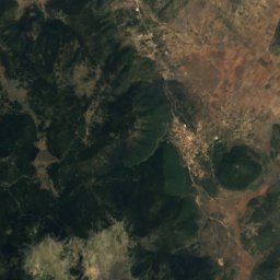
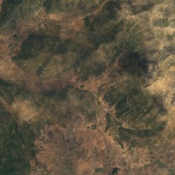
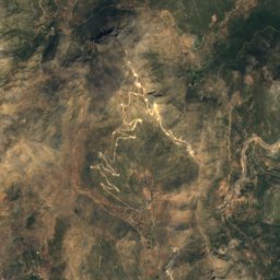
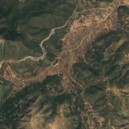
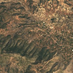
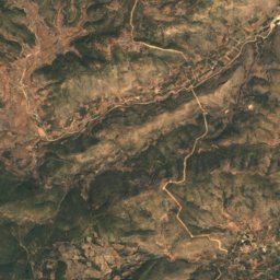
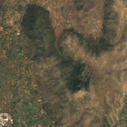
Satellite: Sentinel-2 cloudless 2016 by EOX IT Services GmbH · CC BY 4.0 · Contains modified Copernicus Sentinel data 2016
Artemisio
1,771 m
Heritage

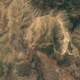
Satellite: Sentinel-2 cloudless 2016 by EOX IT Services GmbH · CC BY 4.0 · Contains modified Copernicus Sentinel data 2016
Villa of Herodes Atticus
archaeological site in Greece


Prodromou Monastery, Agios Petros
protected building in Greece · 1126


