
Photo: Mark Landon (photographed in 1990; digitized in 2021) · CC BY-SA 4.0 · Wikimedia Commons
LepreonReport this photo · linked, not stored
LepreonReport this photo · linked, not stored
polisKáto Figália, West Greece
Lepreon
archaeological site in Greece
Typepolis
Built–
Best monthsApr–Junweather in Káto Figália
37.44° N, 21.72° EUTC+2 · Eastern European Standard Time
When to goKáto Figália · weather score
Best timeApr–Jun
October: high / low22° / 13°
iAbout
Lepreon in brief
Lepreon is a polis in Káto Figália, West Greece, Greece.
It holds the designation archaeological site in Greece.
For a visit, the weather in Káto Figália is best in April, May and June; in October afternoons average 22°.
Facts
- Type
- polis
- Designation
- archaeological site in Greece
- Nearest town
- Káto Figália
- Region
- West Greece
- Coordinates
- 37.44028, 21.72455
iiLocation
Where to find it
iiiWhen to visit
Climate guideWeather in Káto Figália
Month score for sightseeing
Best Apr–Jun32
Jan
36
Feb
55
Mar
85
Apr
86
May
81
Jun
72
Jul
71
Aug
77
Sep
79
Oct
63
Nov
36
Dec
Around here
Káto Figália and around

Photo: Mark Landon (photographed in 1990; digitized in 2021) · CC BY-SA 4.0 · Wikimedia CommonsReport this photo · linked, not stored
Káto Figália
West Greece · Greece
Apr–Junbest months
30°July high
477 maltitude
Nature

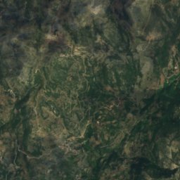
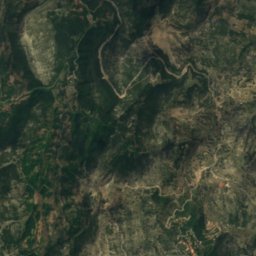
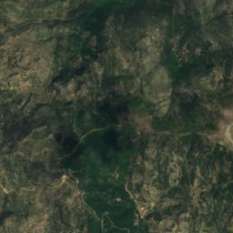
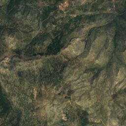
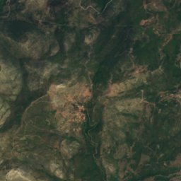
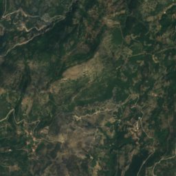
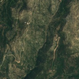
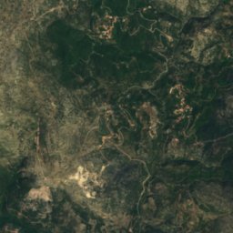
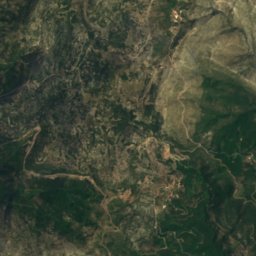
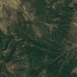
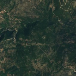
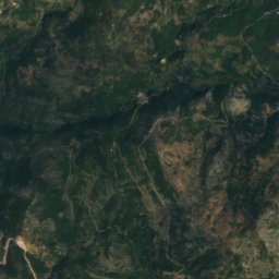
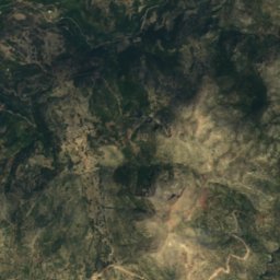
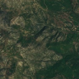
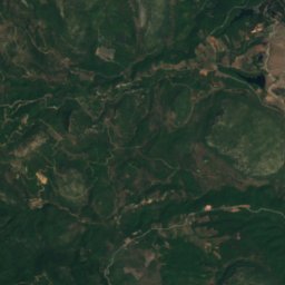
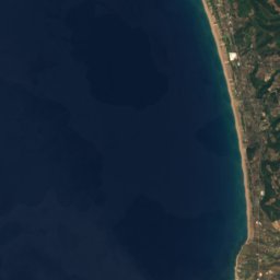
Satellite: Sentinel-2 cloudless 2016 by EOX IT Services GmbH · CC BY 4.0 · Contains modified Copernicus Sentinel data 2016
Neda
River

Mountains
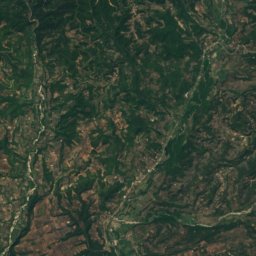
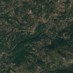
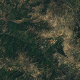
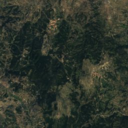
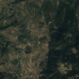
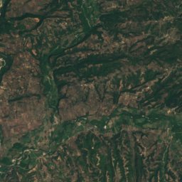
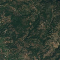
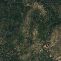
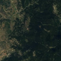
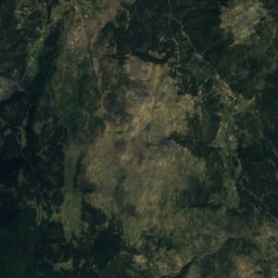
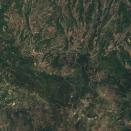
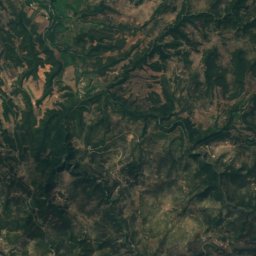
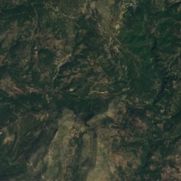
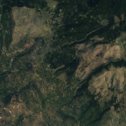
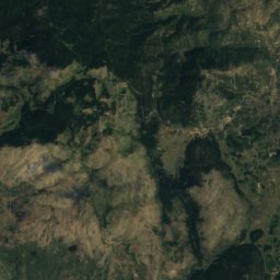
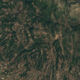
Satellite: Sentinel-2 cloudless 2016 by EOX IT Services GmbH · CC BY 4.0 · Contains modified Copernicus Sentinel data 2016
Klinitsa
1,524 m

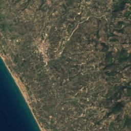
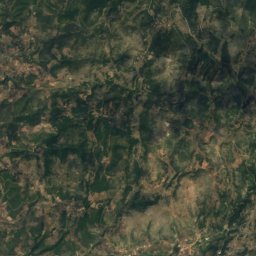
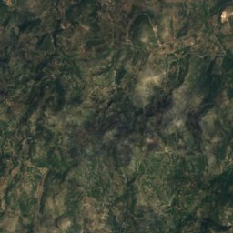
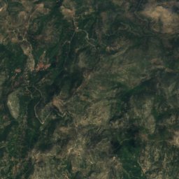
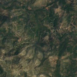
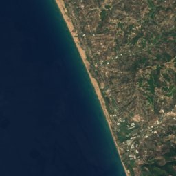
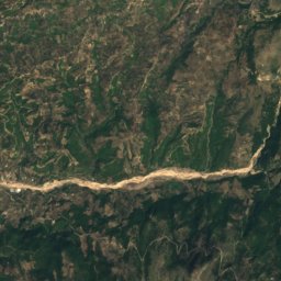
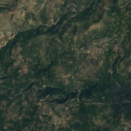
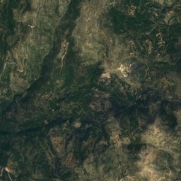
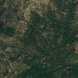
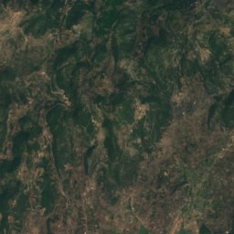
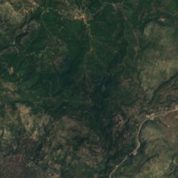
Satellite: Sentinel-2 cloudless 2016 by EOX IT Services GmbH · CC BY 4.0 · Contains modified Copernicus Sentinel data 2016
Tetrazion Oros
1,389 m
Heritage

Photo: Mark Landon (photographed in 1982; digitized in 2021) · CC0 · Wikimedia CommonsReport this photo · linked, not stored
Temple of Apollo Epicurius in Bassae
World Heritage Site · 419 BC


Photo: Mark Landon (photographed in 1993; digitized in 2021) · CC BY 4.0 · Wikimedia CommonsReport this photo · linked, not stored
Isova
protected building in Greece
Museums


Satellite: Sentinel-2 cloudless 2016 by EOX IT Services GmbH · CC BY 4.0 · Contains modified Copernicus Sentinel data 2016