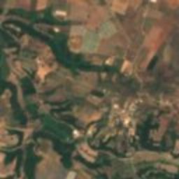
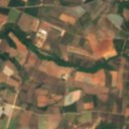
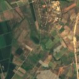
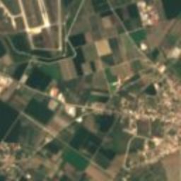
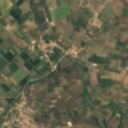
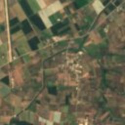
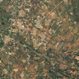
Satellite: Sentinel-2 cloudless 2016 by EOX IT Services GmbH · CC BY 4.0 · Contains modified Copernicus Sentinel data 2016

Photo: Kritheus · CC BY-SA 4.0 · Wikimedia Commons
Theater of ElisReport this photo · linked, not stored
Theater of ElisTheater of ElisReport this photo · linked, not stored
polisKalívia, Peloponnese
Elis
archaeological site in GreeceBuilt 1099 BC
Typepolis
Built1099 BC
Best monthsMar–Mayweather in Kalívia
37.89° N, 21.37° EUTC+2 · Eastern European Standard Time
Standing for3,125 years
built 1099 BCtoday 2026
When to goKalívia · weather score
Best timeMar–May
October: high / low26° / 13°
iAbout
Elis in brief
Elis is a polis in Kalívia, Peloponnese, Greece. Ancient city-state, capital city of the district of Elis.
It holds the designation archaeological site in Greece.
The polis dates from 1099 bc.
For a visit, the weather in Kalívia is best in March, April and May; in October afternoons average 26°.
Facts
- Type
- polis
- Designation
- archaeological site in Greece
- Built
- 1099 BC
- Nearest town
- Kalívia
- Region
- Peloponnese
- Coordinates
- 37.89222, 21.37444
iiLocation
Where to find it
iiiWhen to visit
Climate guideWeather in Kalívia
Month score for sightseeing
Best Mar–May46
Jan
54
Feb
77
Mar
84
Apr
79
May
67
Jun
59
Jul
56
Aug
61
Sep
77
Oct
73
Nov
48
Dec
ivNearby
All monuments in GreeceMore heritage close by
Around here
Kalívia and around
Nature


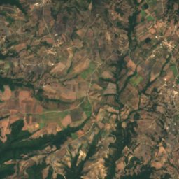
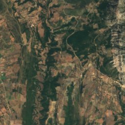
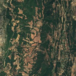
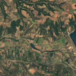
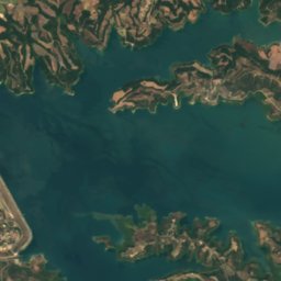
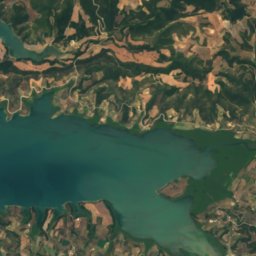
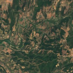
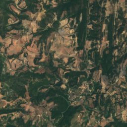
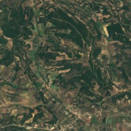
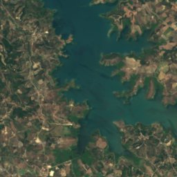
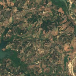
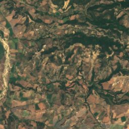
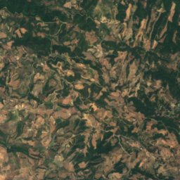
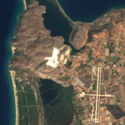
Satellite: Sentinel-2 cloudless 2016 by EOX IT Services GmbH · CC BY 4.0 · Contains modified Copernicus Sentinel data 2016
Ladon (river of Elis)
River · 87 m
Mountains
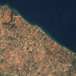
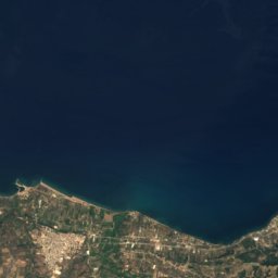
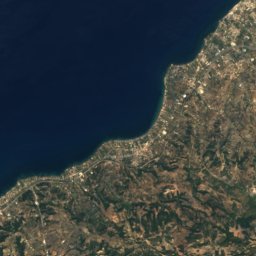
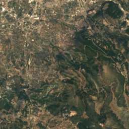
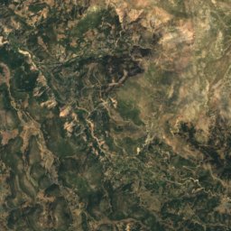
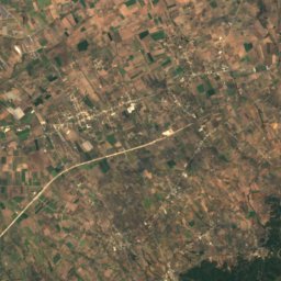
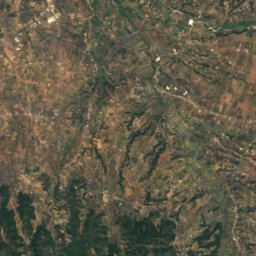
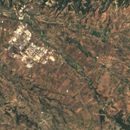
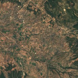
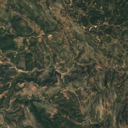
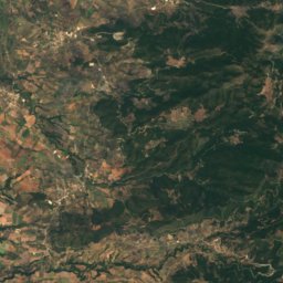
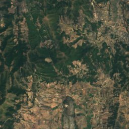
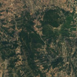
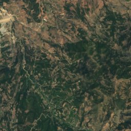
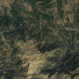
Satellite: Sentinel-2 cloudless 2016 by EOX IT Services GmbH · CC BY 4.0 · Contains modified Copernicus Sentinel data 2016
Kompovouni
758 m

Photo: Enpatrais (όνομα χρήστη στη Βικιπαίδεια) / Enpatrais at Greek Wikipedia · CC BY-SA 4.0 · Wikimedia CommonsReport this photo · linked, not stored
Movri
718 m

Heritage
Satellite: Sentinel-2 cloudless 2016 by EOX IT Services GmbH · CC BY 4.0 · Contains modified Copernicus Sentinel data 2016
Theater of Elis
archaeological site in Greece












Museums


Satellite: Sentinel-2 cloudless 2016 by EOX IT Services GmbH · CC BY 4.0 · Contains modified Copernicus Sentinel data 2016
Archaeological museum of Elis
Archaeological museum