Skip to content
Destinations
Weather & climate
Nature
Outdoors
Culture
Events
Sky & live
Chrysoskalitissa Monastery
Photo: Aeleftherios · CC BY-SA 3.0 · Wikimedia Commons
Chrysoskalitissa MonasteryReport this photo · linked, not stored
monasteryPalaiochora, Crete

Chrysoskalitissa Monastery

protected building in Greece
Typemonastery
Built–
Best monthsApr–Junweather in Palaiochora
35.31° N, 23.53° EUTC+2 · Eastern European Standard Time
When to goPalaiochora · weather score
JanFebMarAprMayJunJulAugSepOctNovDec75October
Best timeApr–Jun
October: high / low25° / 17°
iAbout

Chrysoskalitissa Monastery in brief

Chrysoskalitissa Monastery is a monastery in Palaiochora, Crete, Greece.

It holds the designation protected building in Greece.

For a visit, the weather in Palaiochora is best in April, May and June; in October afternoons average 25°.

Palaiochora: weather and travel guide

Facts

Type
monastery
Designation
protected building in Greece
Nearest town
Palaiochora
Region
Crete
Coordinates
35.31124, 23.53337
iiLocation

Where to find it

iiiWhen to visit

Weather in Palaiochora

Climate guide

Month score for sightseeing

Best Apr–Jun
52
Jan
56
Feb
76
Mar
86
Apr
88
May
81
Jun
73
Jul
68
Aug
71
Sep
75
Oct
72
Nov
59
Dec
Around here

Palaiochora and around

Palaiochora
Photo: Aeleftherios · CC BY-SA 3.0 · Wikimedia CommonsReport this photo · linked, not stored

Palaiochora

Crete · Greece
Apr–Junbest months
31°July high
5 maltitude
Palaiochora

Nature

Cave of Agia Sophia Topolia
Photo: Przemek Pietrak · CC BY-SA 3.0 · Wikimedia CommonsReport this photo · linked, not stored
20 km N

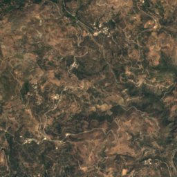
Cave of Agia Sophia Topolia

Cave
Cave of Agia Sophia Topolia
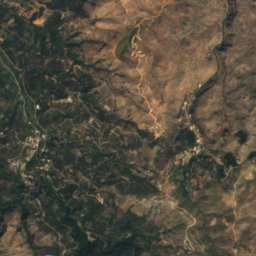
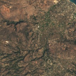
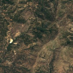
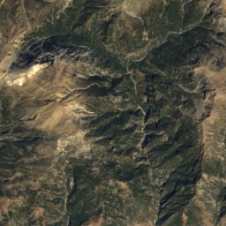
Satellite: Sentinel-2 cloudless 2016 by EOX IT Services GmbH · CC BY 4.0 · Contains modified Copernicus Sentinel data 2016
24 km NE

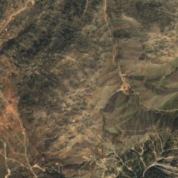
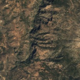
Tzanis Cave

Cave
Tzanis Cave
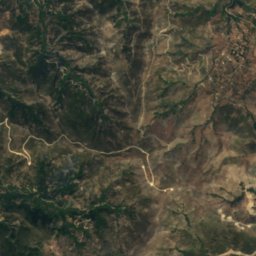
Satellite: Sentinel-2 cloudless 2016 by EOX IT Services GmbH · CC BY 4.0 · Contains modified Copernicus Sentinel data 2016
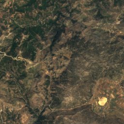
22 km NE

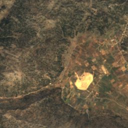
Omalos lake, Crete

Lake
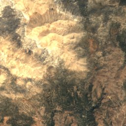
Omalos lake, Crete

Mountains

Pachnes
Photo: AWI · CC BY-SA 3.0 · Wikimedia CommonsReport this photo · linked, not stored
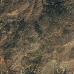
32 km E

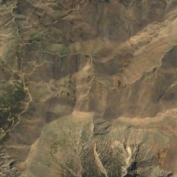
Pachnes

2,453 m · Lefka Ori
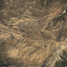
Pachnes
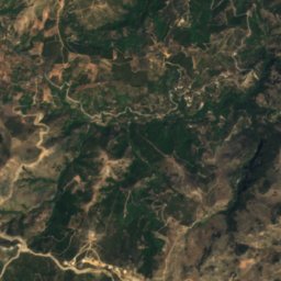
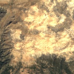
Satellite: Sentinel-2 cloudless 2016 by EOX IT Services GmbH · CC BY 4.0 · Contains modified Copernicus Sentinel data 2016
33 km NE

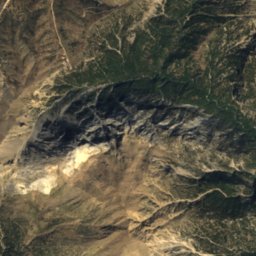
Malotira

1,701 m
Malotira
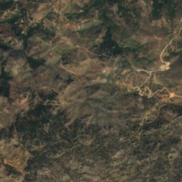
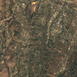
Satellite: Sentinel-2 cloudless 2016 by EOX IT Services GmbH · CC BY 4.0 · Contains modified Copernicus Sentinel data 2016
35 km NE

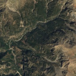
Anginares

1,239 m
Anginares

Heritage

Sotiros Christou church
Photo: C messier · CC BY-SA 4.0 · Wikimedia CommonsReport this photo · linked, not stored
9.1 km NE

Sotiros Christou church

archaeological site in Greece · 1300
Sotiros Christou church
Elyros
Photo: C messier · CC BY-SA 4.0 · Wikimedia CommonsReport this photo · linked, not stored
12 km NE

Elyros

archaeological site in Greece
Elyros
Yrtakina
Photo: Tomisti · CC BY-SA 4.0 · Wikimedia CommonsReport this photo · linked, not stored
8.2 km NE

Yrtakina

archaeological site in Greece
Yrtakina