
Photo: C messier · CC BY 3.0 · Wikimedia Commons
Agia Sofia CaveReport this photo · linked, not stored
Agia Sofia CaveReport this photo · linked, not stored

Photo: Meltedrainbow · CC BY-SA 4.0 · Wikimedia Commons
Mylopotamos CastleReport this photo · linked, not stored
Mylopotamos CastleMylopotamos CastleReport this photo · linked, not stored
show caveFratsia, Attica
Agia Sofia Cave
protected building in Greece
Typeshow cave
Built–
Best monthsJun–Augweather in Fratsia
36.25° N, 22.93° EUTC+2 · Eastern European Standard Time
When to goFratsia · weather score
Best timeJun–Aug
October: high / low20° / 18°
iAbout
Agia Sofia Cave in brief
Agia Sofia Cave is a show cave in Fratsia, Attica, Greece.
It holds the designation protected building in Greece.
For a visit, the weather in Fratsia is best in June, July and August; in October afternoons average 20°.
iiLocation
Where to find it
iiiWhen to visit
Climate guideWeather in Fratsia
Month score for sightseeing
Best Jun–Aug36
Jan
38
Feb
53
Mar
70
Apr
88
May
94
Jun
96
Jul
97
Aug
90
Sep
82
Oct
69
Nov
46
Dec
ivNearby
All monuments in GreeceMore heritage close by
Around here
Fratsia and around

Nature


Mountains

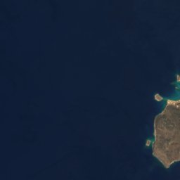
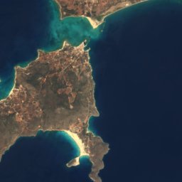
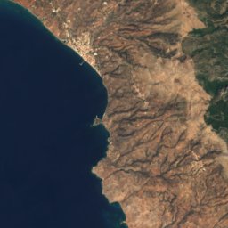
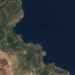



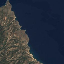
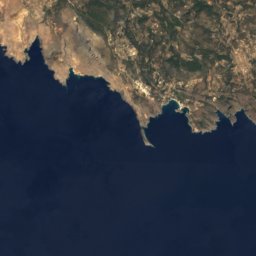
Satellite: Sentinel-2 cloudless 2016 by EOX IT Services GmbH · CC BY 4.0 · Contains modified Copernicus Sentinel data 2016
Krithina
794 m





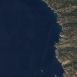
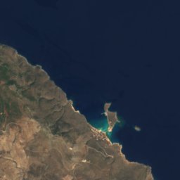


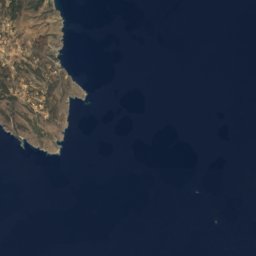
Satellite: Sentinel-2 cloudless 2016 by EOX IT Services GmbH · CC BY 4.0 · Contains modified Copernicus Sentinel data 2016
Mermingaris
506 m


Heritage

Church of Christ Pantokratora
protected building in Greece · 1545

Museums






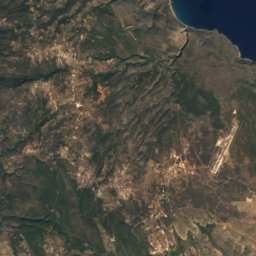
Satellite: Sentinel-2 cloudless 2016 by EOX IT Services GmbH · CC BY 4.0 · Contains modified Copernicus Sentinel data 2016
Archaeological museum of Kythera
Archaeological museum · 1981