
acropolisArkhaía Kórinthos, Peloponnese
Acrocorinth
archaeological site in GreeceBuilt 700 BC
TypeacropolisByzantine
Built700 BC
Best monthsApr–May · Octweather in Arkhaía Kórinthos
37.89° N, 22.87° EUTC+2 · Eastern European Standard Time
Standing for2,726 years
built 700 BCtoday 2026
When to goArkhaía Kórinthos · weather score
Best timeApr–May · Oct
October: high / low24° / 17°
iAbout
Acrocorinth in brief
Acrocorinth is an acropolis in Arkhaía Kórinthos, Peloponnese, Greece.
It holds the designation archaeological site in Greece.
The acropolis dates from 700 bc and is built in the Byzantine style.
For a visit, the weather in Arkhaía Kórinthos is best in April, May and October; in October afternoons average 24°.
Facts
- Type
- acropolis
- Designation
- archaeological site in Greece
- Built
- 700 BC
- Style
- Byzantine
- Nearest town
- Arkhaía Kórinthos
- Region
- Peloponnese
- Coordinates
- 37.89142, 22.87092
iiLocation
Where to find it
iiiWhen to visit
Climate guideWeather in Arkhaía Kórinthos
Month score for sightseeing
Best Apr–May · Oct44
Jan
53
Feb
72
Mar
86
Apr
87
May
68
Jun
62
Jul
63
Aug
72
Sep
85
Oct
78
Nov
52
Dec
Around here
Arkhaía Kórinthos and around

Arkhaía Kórinthos
Peloponnese · Greece
Apr–May · Octbest months
32°July high
64 maltitude
Nature









Mountains
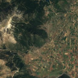
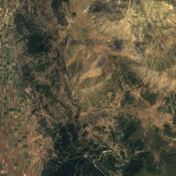
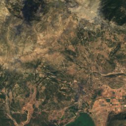
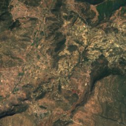
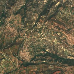
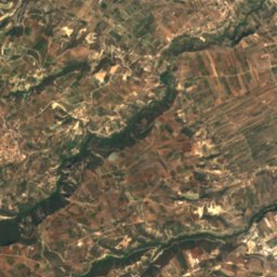
Satellite: Sentinel-2 cloudless 2016 by EOX IT Services GmbH · CC BY 4.0 · Contains modified Copernicus Sentinel data 2016
Farmakás
1,615 m


Heritage












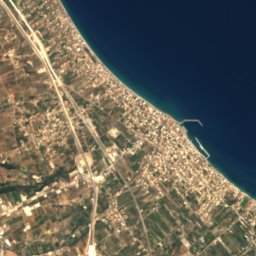
Satellite: Sentinel-2 cloudless 2016 by EOX IT Services GmbH · CC BY 4.0 · Contains modified Copernicus Sentinel data 2016
Heraion of Perachora
archaeological site in Greece
Museums

Archaeological Museum of Ancient Corinth
Archaeological museum

Archaeological museum of Isthmia
Archaeological museum · 1978













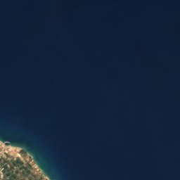
Satellite: Sentinel-2 cloudless 2016 by EOX IT Services GmbH · CC BY 4.0 · Contains modified Copernicus Sentinel data 2016
Historical and Folklore Museum of Corinth
1976