
Photo: Grugerio · CC BY-SA 3.0 · Wikimedia Commons
WittekindsteinReport this photo · linked, not stored
WittekindsteinReport this photo · linked, not stored

Photo: Grugerio · CC BY-SA 3.0 · Wikimedia Commons
Windmühle ExterReport this photo · linked, not stored
Windmühle ExterWindmühle ExterReport this photo · linked, not stored

Photo: Schwede66 · CC BY-SA 4.0 · Wikimedia Commons
Talbrücke ExterReport this photo · linked, not stored
Talbrücke ExterTalbrücke ExterReport this photo · linked, not stored

Photo: smial (talk) · FAL · Wikimedia Commons
Autobahnkapelle ExterReport this photo · linked, not stored
Autobahnkapelle ExterAutobahnkapelle ExterReport this photo · linked, not stored

Photo: Grugerio · CC BY-SA 3.0 · Wikimedia Commons
Evangelische Kirche ValdorfReport this photo · linked, not stored
Evangelische Kirche ValdorfEvangelische Kirche ValdorfReport this photo · linked, not stored
stoneExter, North Rhine-Westphalia
Wittekindstein
architectural heritage monument in North Rhine-Westphalia
Typestone
Built–
Best monthsMay–Jun · Sepweather in Exter
52.15° N, 8.81° EUTC+2 · Central European Summer Time
When to goExter · weather score
Best timeMay–Jun · Sep
October: high / low14° / 7°
iAbout
Wittekindstein in brief
Wittekindstein is a stone in Exter, North Rhine-Westphalia, Germany.
It holds the designation architectural heritage monument in North Rhine-Westphalia.
For a visit, the weather in Exter is best in May, June and September; in October afternoons average 14°.
Facts
- Type
- stone
- Designation
- architectural heritage monument in North Rhine-Westphalia
- Nearest town
- Exter
- Region
- North Rhine-Westphalia
- Coordinates
- 52.14970, 8.81376
iiLocation
Where to find it
iiiWhen to visit
Climate guideWeather in Exter
Month score for sightseeing
Best May–Jun · Sep13
Jan
21
Feb
22
Mar
53
Apr
68
May
65
Jun
63
Jul
64
Aug
68
Sep
42
Oct
16
Nov
12
Dec
ivNearby
All monuments in GermanyMore heritage close by
Autobahnkapelle Exter
2.5 km SW
architectural heritage monument in North Rhine-Westphalia
Evangelische Kirche Valdorf
2.7 km E
architectural heritage monument in North Rhine-Westphalia

Heilig Kreuz, Vlotho
3.0 km NE
architectural heritage monument in North Rhine-Westphalia

Jüdischer Friedhof (Vlotho)
3.2 km NE
architectural heritage monument in North Rhine-Westphalia
Around here
Exter and around

Nature


Mountains
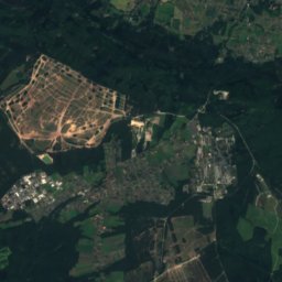
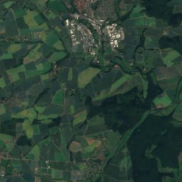
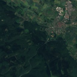
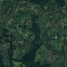
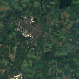
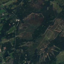
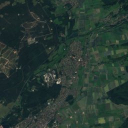
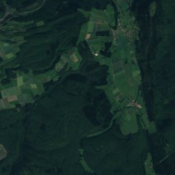
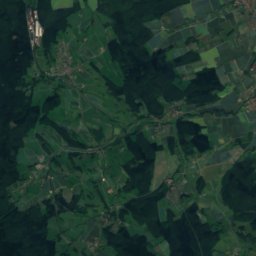
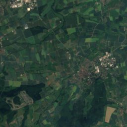
Satellite: Sentinel-2 cloudless 2016 by EOX IT Services GmbH · CC BY 4.0 · Contains modified Copernicus Sentinel data 2016
Preußische Velmerstot
468 m


Heritage
Autobahnkapelle Exter
architectural heritage monument in North Rhine-Westphalia
Museums




Satellite: Sentinel-2 cloudless 2016 by EOX IT Services GmbH · CC BY 4.0 · Contains modified Copernicus Sentinel data 2016
Brickyard Lage
2001