
Photo: H2OMy at de.wikipedia. Later version(s) were uploaded by Sir James at de.wikiped · Public domain · Wikimedia Commons
WilhelmsteineReport this photo · linked, not stored
WilhelmsteineReport this photo · linked, not stored

Photo: GR Second Life · CC BY-SA 3.0 · Wikimedia Commons
Kirche LixfeldReport this photo · linked, not stored
Kirche LixfeldKirche LixfeldReport this photo · linked, not stored

Photo: Rainer Kunze · CC BY-SA 3.0 · Wikimedia Commons
Burg TringensteinReport this photo · linked, not stored
Burg TringensteinBurg TringensteinReport this photo · linked, not stored

Photo: H2OMy · Public domain · Wikimedia Commons
Evangelische Kirche BottenhornReport this photo · linked, not stored
Evangelische Kirche BottenhornEvangelische Kirche BottenhornReport this photo · linked, not stored

Photo: H2OMy at German Wikipedia · Public domain · Wikimedia Commons
Evangelische Kirche HartenrodReport this photo · linked, not stored
Evangelische Kirche HartenrodEvangelische Kirche HartenrodReport this photo · linked, not stored
natural monument in GermanySiegbach, Hesse
Wilhelmsteine
Single natural monument in Hesse
Typenatural monument in Germany
Built–
Best monthsJun · Aug–Sepweather in Siegbach
50.78° N, 8.43° EUTC+1 · Central European Standard Time
When to goSiegbach · weather score
Best timeJun · Aug–Sep
October: high / low13° / 5°
iAbout
Wilhelmsteine in brief
Wilhelmsteine is a natural monument in germany in Siegbach, Hesse, Germany.
It holds the designation Single natural monument in Hesse.
For a visit, the weather in Siegbach is best in June, August and September; in October afternoons average 13°.
iiLocation
Where to find it
iiiWhen to visit
Climate guideWeather in Siegbach
Month score for sightseeing
Best Jun · Aug–Sep11
Jan
20
Feb
20
Mar
49
Apr
64
May
65
Jun
64
Jul
66
Aug
70
Sep
35
Oct
11
Nov
9
Dec
ivNearby
All monuments in GermanyMore heritage close by
Evangelische Kirche Bottenhorn
3.4 km E
cultural heritage monument in Hesse
Photo: H2OMy at German Wikipedia · Public domain · Wikimedia CommonsReport this photo · linked, not stored
Evangelische Kirche Hartenrod
3.6 km SE
cultural heritage monument in Hesse


Photo: Photo: Eckhard Henkel / Wikimedia Commons / CC BY-SA 3.0 DE · CC BY-SA 3.0 de · Wikimedia CommonsReport this photo · linked, not stored
Bake house Gönnern
4.6 km N
cultural heritage monument in Hesse
Around here
Siegbach and around

Photo: Gerold Rosenberg (talk) 19:12, 14 June 2014 (UTC) · CC BY-SA 3.0 · Wikimedia CommonsReport this photo · linked, not stored
Siegbach
Hesse · Germany
Jun · Aug–Sepbest months
24°July high
339 maltitude
Nature


Photo: Gerold Rosenberg (talk) 17:41, 4 April 2014 (UTC) · CC BY-SA 3.0 · Wikimedia CommonsReport this photo · linked, not stored
Siegbach
River
Mountains

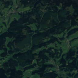
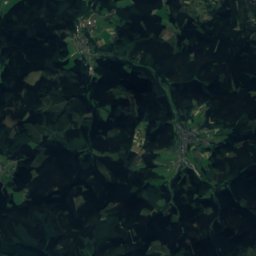
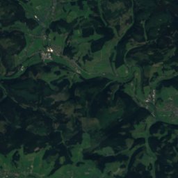
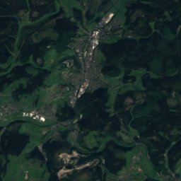
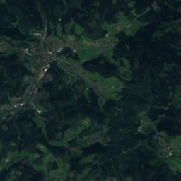
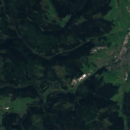
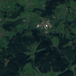
Satellite: Sentinel-2 cloudless 2016 by EOX IT Services GmbH · CC BY 4.0 · Contains modified Copernicus Sentinel data 2016
Großer Kopf
740 m · Rothaar Mountains

Heritage

Evangelische Pfarrkirche Eisemroth
cultural heritage monument in Hesse
Museums

Nationales Automuseum – The Loh Collection
Automobile museum · 2023











Satellite: Sentinel-2 cloudless 2016 by EOX IT Services GmbH · CC BY 4.0 · Contains modified Copernicus Sentinel data 2016
Kneipp-Museum (Bad Endbach)
1998
Satellite: Sentinel-2 cloudless 2016 by EOX IT Services GmbH · CC BY 4.0 · Contains modified Copernicus Sentinel data 2016