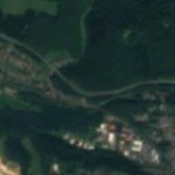
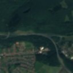




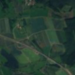












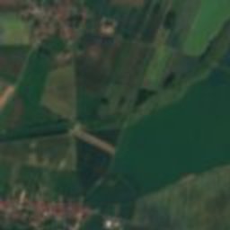

Satellite: Sentinel-2 cloudless 2016 by EOX IT Services GmbH · CC BY 4.0 · Contains modified Copernicus Sentinel data 2016

Photo: Migebert · CC BY-SA 3.0 · Wikimedia Commons
Katharinenkirche, OsterhagenReport this photo · linked, not stored
Katharinenkirche, OsterhagenKatharinenkirche, OsterhagenReport this photo · linked, not stored

Photo: Migebert · CC BY-SA 4.0 · Wikimedia Commons
Blücherstraße 4Report this photo · linked, not stored
Blücherstraße 4Blücherstraße 4Report this photo · linked, not stored

Photo: Migebert · CC BY-SA 4.0 · Wikimedia Commons
St. Nikolai, Bad SachsaReport this photo · linked, not stored
St. Nikolai, Bad SachsaSt. Nikolai, Bad SachsaReport this photo · linked, not stored

Photo: Migebert · CC BY-SA 3.0 · Wikimedia Commons
St. Andreas, Bad SachsaReport this photo · linked, not stored
St. Andreas, Bad SachsaSt. Andreas, Bad SachsaReport this photo · linked, not stored
natural monument in GermanyOsterhagen, Lower Saxony
Weingartenloch
natural monument in Germany
Typenatural monument in Germany
Built–
Best monthsMay–Jun · Sepweather in Osterhagen
51.58° N, 10.50° EUTC+1 · Central European Standard Time
When to goOsterhagen · weather score
Best timeMay–Jun · Sep
October: high / low13° / 5°
iAbout
Weingartenloch in brief
Weingartenloch is a natural monument in germany in Osterhagen, Lower Saxony, Germany.
It holds the designation natural monument in Germany.
For a visit, the weather in Osterhagen is best in May, June and September; in October afternoons average 13°.
Facts
- Type
- natural monument in Germany
- Designation
- natural monument in Germany
- Nearest town
- Osterhagen
- Region
- Lower Saxony
- Coordinates
- 51.58240, 10.50344
iiLocation
Where to find it
iiiWhen to visit
Climate guideWeather in Osterhagen
Month score for sightseeing
Best May–Jun · Sep12
Jan
20
Feb
19
Mar
48
Apr
65
May
65
Jun
63
Jul
65
Aug
69
Sep
34
Oct
14
Nov
10
Dec
ivNearby
All monuments in GermanyMore heritage close by
Katharinenkirche, Osterhagen
1.5 km NE
cultural heritage monument in Lower Saxony
St. Nikolai, Bad Sachsa
3.8 km E
architectural heritage monument in Lower Saxony


Around here
Osterhagen and around

Nature

Photo: Michael Fiegle at German Wikipedia · CC BY-SA 3.0 · Wikimedia CommonsReport this photo · linked, not stored
Unicorn Cave
Cave


Mountains

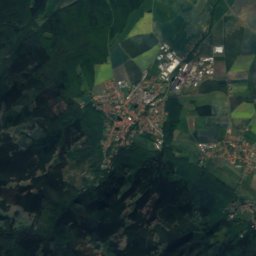
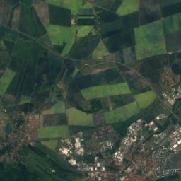


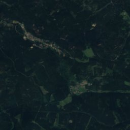
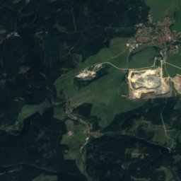
Satellite: Sentinel-2 cloudless 2016 by EOX IT Services GmbH · CC BY 4.0 · Contains modified Copernicus Sentinel data 2016
Heinrichshöhe
1,045 m · Harz
Satellite: Sentinel-2 cloudless 2016 by EOX IT Services GmbH · CC BY 4.0 · Contains modified Copernicus Sentinel data 2016
Königsberg (Brocken)
1,034 m · Harz
Heritage
Katharinenkirche, Osterhagen
cultural heritage monument in Lower Saxony · 1746


Photo: Jagdschloss Walkenried · CC BY-SA 4.0 · Wikimedia CommonsReport this photo · linked, not stored
Jagdschloss Walkenried
cultural heritage monument in Lower Saxony · 1725


