
Photo: dealerofsalvation · CC BY-SA 2.5 · Wikimedia Commons
Wasserturm WaiblingenReport this photo · linked, not stored
Wasserturm WaiblingenReport this photo · linked, not stored

Photo: Dr. Bernd Gross · CC BY-SA 3.0 de · Wikimedia Commons
Nonnenkirchle (Waiblingen)Report this photo · linked, not stored
Nonnenkirchle (Waiblingen)Nonnenkirchle (Waiblingen)Report this photo · linked, not stored

Photo: Ecelan · CC BY-SA 4.0 · Wikimedia Commons
Michaelskirche, WaiblingenReport this photo · linked, not stored
Michaelskirche, WaiblingenMichaelskirche, WaiblingenReport this photo · linked, not stored

Photo: Ecelan · CC BY-SA 4.0 · Wikimedia Commons
Nikolaus ChurchReport this photo · linked, not stored
Nikolaus ChurchNikolaus ChurchReport this photo · linked, not stored

Photo: Memorino · CC BY-SA 3.0 · Wikimedia Commons
Marktbrunnen, WaiblingenReport this photo · linked, not stored
Marktbrunnen, WaiblingenMarktbrunnen, WaiblingenReport this photo · linked, not stored
water towerWaiblingen, Baden-Wurttemberg
Wasserturm Waiblingen
cultural heritage monument in Baden-WürttembergBuilt 1926
Typewater tower
Built1926
Best monthsMay–Jun · Sepweather in Waiblingen
48.82° N, 9.30° EUTC+1 · Central European Standard Time
Standing for100 years
built 1926today 2026
When to goWaiblingen · weather score
Best timeMay–Jun · Sep
October: high / low15° / 6°
iAbout
Wasserturm Waiblingen in brief
Wasserturm Waiblingen is a water tower in Waiblingen, Baden-Wurttemberg, Germany.
It holds the designation cultural heritage monument in Baden-Württemberg.
The water tower dates from 1926.
For a visit, the weather in Waiblingen is best in May, June and September; in October afternoons average 15°.
Facts
- Type
- water tower
- Designation
- cultural heritage monument in Baden-Württemberg
- Built
- 1926
- Nearest town
- Waiblingen
- Region
- Baden-Wurttemberg
- Coordinates
- 48.82327, 9.30088
iiLocation
Where to find it
ivNearby
All monuments in GermanyMore heritage close by
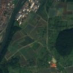
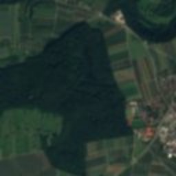
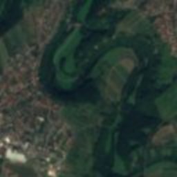
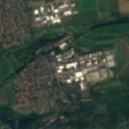
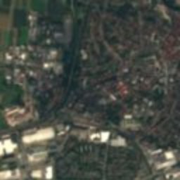
Satellite: Sentinel-2 cloudless 2016 by EOX IT Services GmbH · CC BY 4.0 · Contains modified Copernicus Sentinel data 2016
Hochwachtturm
1.4 km NE
Kulturdenkmal
Marktbrunnen, Waiblingen
1.5 km NE
cultural heritage monument in Baden-Württemberg
Satellite: Sentinel-2 cloudless 2016 by EOX IT Services GmbH · CC BY 4.0 · Contains modified Copernicus Sentinel data 2016
Städtisches Museum Waiblingen
1.7 km NE
cultural heritage monument in Baden-Württemberg
Around here
Waiblingen and around

Photo: DennyBoll at English Wikipedia · Public domain · Wikimedia CommonsReport this photo · linked, not stored
Waiblingen
Baden-Wurttemberg · Germany
May–Jun · Sepbest months
26°July high
233 maltitude
Nature


Mountains
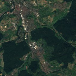
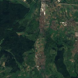
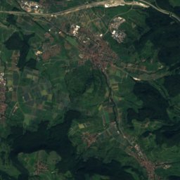
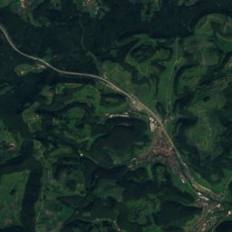
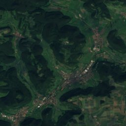
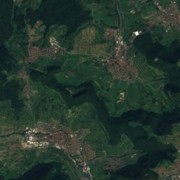
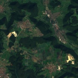
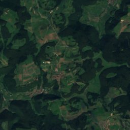
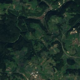
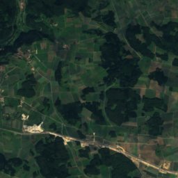
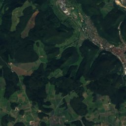
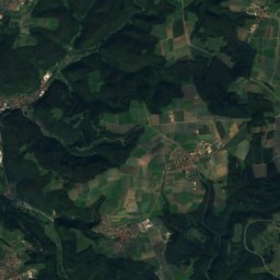
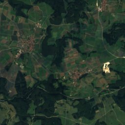
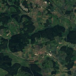
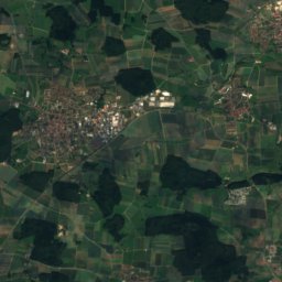
Satellite: Sentinel-2 cloudless 2016 by EOX IT Services GmbH · CC BY 4.0 · Contains modified Copernicus Sentinel data 2016
Römerstein (mountain)
874 m · Swabian Jura

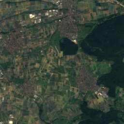
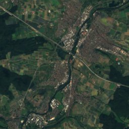
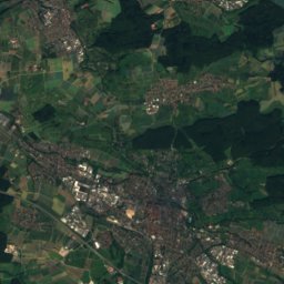
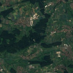
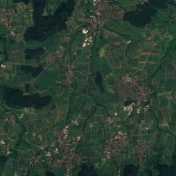
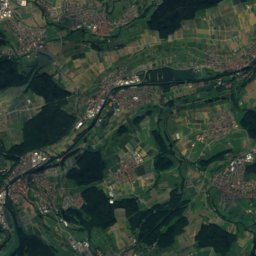
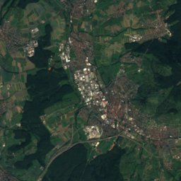
Satellite: Sentinel-2 cloudless 2016 by EOX IT Services GmbH · CC BY 4.0 · Contains modified Copernicus Sentinel data 2016
Breitenstein (Swabian Jura)
811 m · Swabian Jura
Heritage

Photo: Lutz Blohm from Schifferstadt, Germany · CC BY-SA 2.0 · Wikimedia CommonsReport this photo · linked, not stored
Beinsteiner Torturm
Kulturdenkmal · 1491
Museums

Satellite: Sentinel-2 cloudless 2016 by EOX IT Services GmbH · CC BY 4.0 · Contains modified Copernicus Sentinel data 2016
Csavolyer Heimatstuben


Satellite: Sentinel-2 cloudless 2016 by EOX IT Services GmbH · CC BY 4.0 · Contains modified Copernicus Sentinel data 2016