
Photo: Radler59 (talk) · CC BY-SA 4.0 · Wikimedia Commons
Wasserturm UetersenReport this photo · linked, not stored
Wasserturm UetersenReport this photo · linked, not stored

Photo: Huhu Uet · CC BY-SA 3.0 · Wikimedia Commons
Friedrich-Ebert-SchuleReport this photo · linked, not stored
Friedrich-Ebert-SchuleFriedrich-Ebert-SchuleReport this photo · linked, not stored

Photo: Huhu Uet · CC BY-SA 3.0 · Wikimedia Commons
Kleiner Sand 51 – 53Report this photo · linked, not stored
Kleiner Sand 51 – 53Kleiner Sand 51 – 53Report this photo · linked, not stored

Photo: Huhu Uet · CC BY 3.0 · Wikimedia Commons
Bauernmühle UetersenReport this photo · linked, not stored
Bauernmühle UetersenBauernmühle UetersenReport this photo · linked, not stored

Photo: Huhu at German Wikipedia · Public domain · Wikimedia Commons
Cäcilie-Bleeker-ParkReport this photo · linked, not stored
Cäcilie-Bleeker-ParkCäcilie-Bleeker-ParkReport this photo · linked, not stored
cultural heritage ensembleUetersen, Schleswig-Holstein
Wasserturm Uetersen
Heritage monument in Schleswig-HolsteinKulturdenkmal
Typecultural heritage ensembleBrick Expressionism
Built–
Best monthsMay · Jul · Sepweather in Uetersen
53.69° N, 9.68° EUTC+2 · Central European Summer Time
When to goUetersen · weather score
Best timeMay · Jul · Sep
October: high / low14° / 6°
iAbout
Wasserturm Uetersen in brief
Wasserturm Uetersen is a cultural heritage ensemble in Uetersen, Schleswig-Holstein, Germany.
It holds the designations Heritage monument in Schleswig-Holstein and Kulturdenkmal.
The cultural heritage ensemble is built in the Brick Expressionism style.
For a visit, the weather in Uetersen is best in May, July and September; in October afternoons average 14°.
Facts
- Type
- cultural heritage ensemble
- Designation
- Heritage monument in Schleswig-Holstein
- Kulturdenkmal
- Style
- Brick Expressionism
- Nearest town
- Uetersen
- Region
- Schleswig-Holstein
- Coordinates
- 53.68860, 9.68229
iiLocation
Where to find it
ivNearby
All monuments in GermanyMore heritage close by
Satellite: Sentinel-2 cloudless 2016 by EOX IT Services GmbH · CC BY 4.0 · Contains modified Copernicus Sentinel data 2016
Amtsgericht Uetersen
1.6 km W
Kulturdenkmal
Satellite: Sentinel-2 cloudless 2016 by EOX IT Services GmbH · CC BY 4.0 · Contains modified Copernicus Sentinel data 2016
Guerle-Villa
1.6 km W
Kulturdenkmal
Photo: Huhu at German Wikipedia · Public domain · Wikimedia CommonsReport this photo · linked, not stored
Cäcilie-Bleeker-Park
1.7 km W
Kulturdenkmal
Around here
Uetersen and around

Nature


Mountains
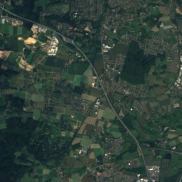
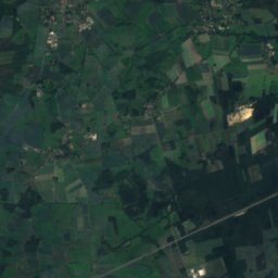
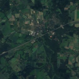
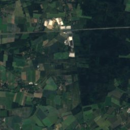
Satellite: Sentinel-2 cloudless 2016 by EOX IT Services GmbH · CC BY 4.0 · Contains modified Copernicus Sentinel data 2016
Hülsenberg
155 m · Harburg Hills
Satellite: Sentinel-2 cloudless 2016 by EOX IT Services GmbH · CC BY 4.0 · Contains modified Copernicus Sentinel data 2016
Gannaberg
155 m · Harburg Hills

Photo: Foto: Reinhard Kraasch, Lizenz: CC-BY-SA 4.0 DE · CC BY-SA 4.0 · Wikimedia CommonsReport this photo · linked, not stored
Kiekeberg
127 m · Harburg Hills
Heritage


Photo: Huhu at German Wikipedia · Public domain · Wikimedia CommonsReport this photo · linked, not stored
Cäcilie-Bleeker-Park
Kulturdenkmal
Museums

Photo: --Nightflyer (talk) 20:45, 4 June 2020 (UTC) · CC BY 4.0 · Wikimedia CommonsReport this photo · linked, not stored
Findlingsgarten Liether Kalkgrube
2004





Satellite: Sentinel-2 cloudless 2016 by EOX IT Services GmbH · CC BY 4.0 · Contains modified Copernicus Sentinel data 2016
Stadt und Heimatgeschichtliches Museum Uetersen
Local museum · 1995


