
Photo: Muck · CC BY-SA 4.0 · Wikimedia Commons
Wasserturm (Kirchheimbolanden)Report this photo · linked, not stored
Wasserturm (Kirchheimbolanden)Report this photo · linked, not stored

Photo: Muck · CC BY-SA 4.0 · Wikimedia Commons
Wartturm, KirchheimbolandenReport this photo · linked, not stored
Wartturm, KirchheimbolandenWartturm, KirchheimbolandenReport this photo · linked, not stored
 Schneckenturm

Photo: Hermann Luyken · CC BY-SA 3.0 · Wikimedia Commons
Protestant St. Peter's Church, KirchheimbolandenReport this photo · linked, not stored
Protestant St. Peter's Church, KirchheimbolandenProtestant St. Peter's Church, KirchheimbolandenReport this photo · linked, not stored

Photo: Mussklprozz · CC BY-SA 3.0 · Wikimedia Commons
St. Paul's Church, KirchheimbolandenReport this photo · linked, not stored
St. Paul's Church, KirchheimbolandenSt. Paul's Church, KirchheimbolandenReport this photo · linked, not stored
water towerKirchheimbolanden, Rheinland-Pfalz
Wasserturm (Kirchheimbolanden)
cultural heritage monument in Rhineland-PalatinateBuilt 1904
Typewater tower
Built1904
Best monthsJun · Aug–Sepweather in Kirchheimbolanden
49.66° N, 8.00° EUTC+2 · Central European Summer Time
Standing for122 years
built 1904today 2026
When to goKirchheimbolanden · weather score
Best timeJun · Aug–Sep
October: high / low14° / 6°
iAbout
Wasserturm (Kirchheimbolanden) in brief
Wasserturm (Kirchheimbolanden) is a water tower in Kirchheimbolanden, Rheinland-Pfalz, Germany.
It holds the designation cultural heritage monument in Rhineland-Palatinate.
The water tower dates from 1904.
For a visit, the weather in Kirchheimbolanden is best in June, August and September; in October afternoons average 14°.
Facts
- Type
- water tower
- Designation
- cultural heritage monument in Rhineland-Palatinate
- Built
- 1904
- Nearest town
- Kirchheimbolanden
- Region
- Rheinland-Pfalz
- Coordinates
- 49.66140, 8.00169
iiLocation
Where to find it
iiiWhen to visit
Climate guideWeather in Kirchheimbolanden
Month score for sightseeing
Best Jun · Aug–Sep16
Jan
24
Feb
28
Mar
60
Apr
67
May
69
Jun
67
Jul
69
Aug
76
Sep
47
Oct
21
Nov
14
Dec
ivNearby
All monuments in GermanyMore heritage close by
Wartturm, Kirchheimbolanden
under 100 m NE
cultural heritage monument in Rhineland-Palatinate
Protestant St. Peter's Church, Kirchheimbolanden
0.8 km NE
Kulturdenkmal


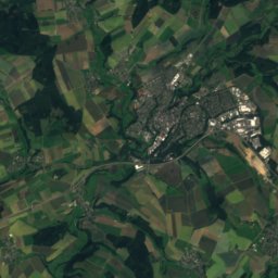
Around here
Kirchheimbolanden and around

Kirchheimbolanden
Rheinland-Pfalz · Germany
Jun · Aug–Sepbest months
25°July high
255 maltitude
Nature
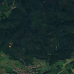
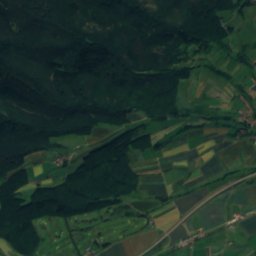
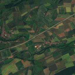
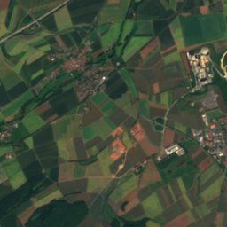
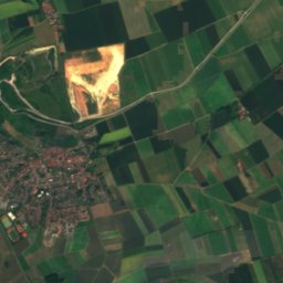
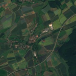
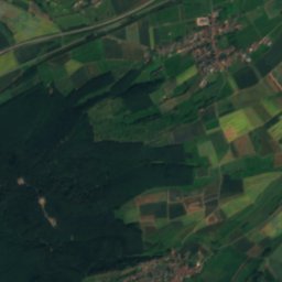
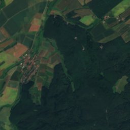
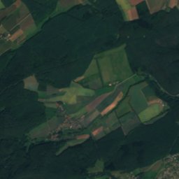
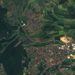
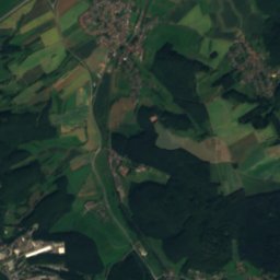
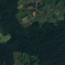
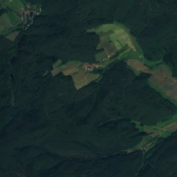
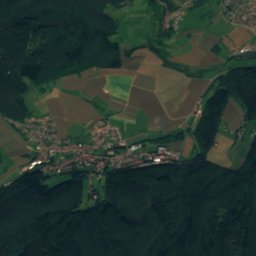
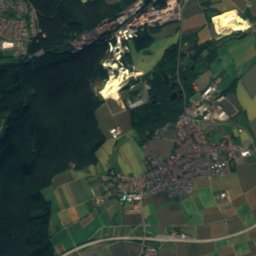
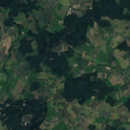
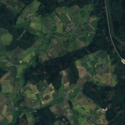
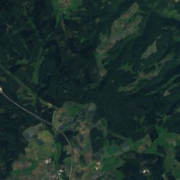
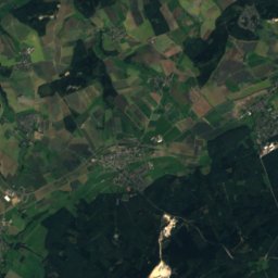
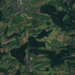
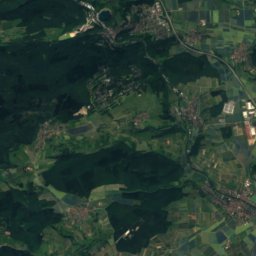
Satellite: Sentinel-2 cloudless 2016 by EOX IT Services GmbH · CC BY 4.0 · Contains modified Copernicus Sentinel data 2016
Rodenbach, Rheinland-Pfalz
River
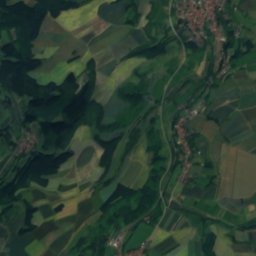
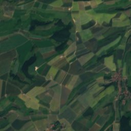
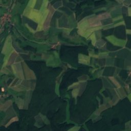
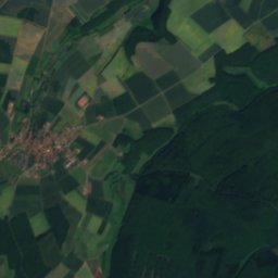
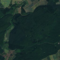
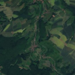
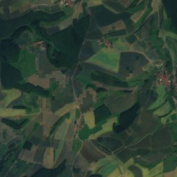
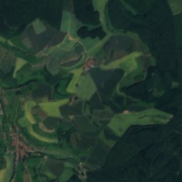
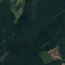
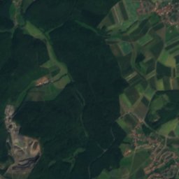
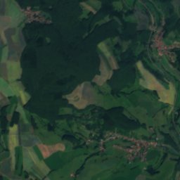
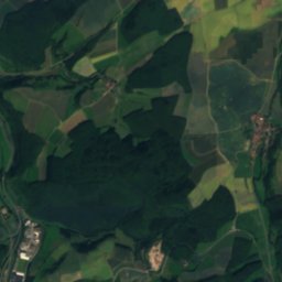
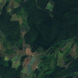
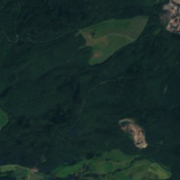
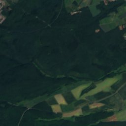
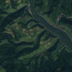
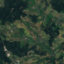
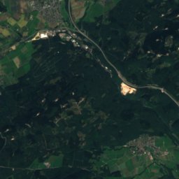
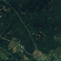
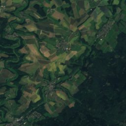
Satellite: Sentinel-2 cloudless 2016 by EOX IT Services GmbH · CC BY 4.0 · Contains modified Copernicus Sentinel data 2016
Gutenbach, Rheinland-Pfalz
River

Mountains

Photo: The original uploader was Kolling at German Wikipedia. · CC BY-SA 2.0 · Wikimedia CommonsReport this photo · linked, not stored
Donnersberg
686 m · North Palatine Uplands

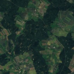
Heritage
St. Paul's Church, Kirchheimbolanden
Kulturdenkmal · 1744
Protestant St. Peter's Church, Kirchheimbolanden
Kulturdenkmal
Museums


Motorrad- und Technikmuseum Leiningerland
Automobile museum