Photo: A.Savin · FAL · Wikimedia Commons
Forst (Lausitz) railway stationReport this photo · linked, not stored
Forst (Lausitz) railway stationForst (Lausitz) railway stationReport this photo · linked, not stored

Photo: Tkkrd · CC BY-SA 4.0 · Wikimedia Commons
Johann-Sebastian-Bach churchReport this photo · linked, not stored
Johann-Sebastian-Bach churchJohann-Sebastian-Bach churchReport this photo · linked, not stored

Photo: A.Savin · FAL · Wikimedia Commons
Parish church St. Nikolai (Forst in der Lausitz)Report this photo · linked, not stored
Parish church St. Nikolai (Forst in der Lausitz)Parish church St. Nikolai (Forst in der Lausitz)Report this photo · linked, not stored

Photo: S.Mummert · CC BY-SA 3.0 · Wikimedia Commons
St. MarienkapelleReport this photo · linked, not stored
St. MarienkapelleSt. MarienkapelleReport this photo · linked, not stored
water towerForst, Brandenburg
Wasserturm Forst
architectural heritage monument in Brandenburg
Typewater tower
Built–
Best monthsMay–Jun · Sepweather in Forst
51.74° N, 14.64° EUTC+2 · Central European Summer Time
When to goForst · weather score
Best timeMay–Jun · Sep
October: high / low14° / 6°
iAbout
Wasserturm Forst in brief
Wasserturm Forst is a water tower in Forst, Brandenburg, Germany.
It holds the designation architectural heritage monument in Brandenburg.
For a visit, the weather in Forst is best in May, June and September; in October afternoons average 14°.
Facts
- Type
- water tower
- Designation
- architectural heritage monument in Brandenburg
- Nearest town
- Forst
- Region
- Brandenburg
- Coordinates
- 51.73708, 14.64012
iiLocation
Where to find it
ivNearby
All monuments in GermanyMore heritage close by
Forst (Lausitz) railway station
0.3 km NW
architectural heritage monument in Brandenburg
Johann-Sebastian-Bach church
0.8 km S
architectural heritage monument in Brandenburg
Parish church St. Nikolai (Forst in der Lausitz)
0.9 km NE
architectural heritage monument in Brandenburg


Tuchfabrik Cattien Forst
1.6 km NE
architectural heritage monument in Brandenburg
Around here
Forst and around

Nature
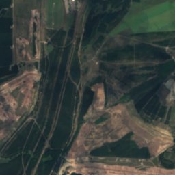
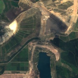
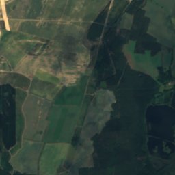
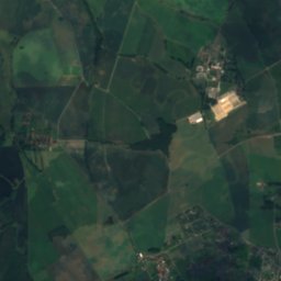
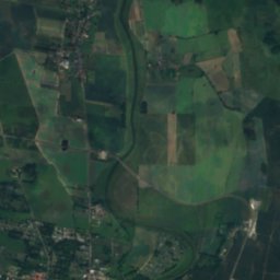
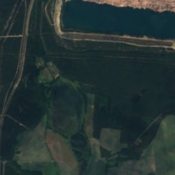
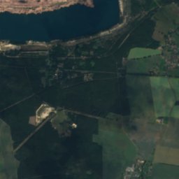
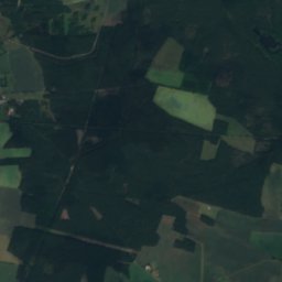
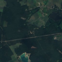
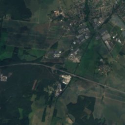
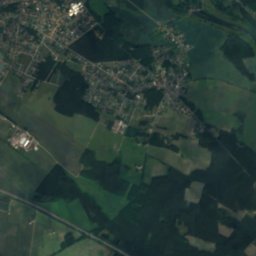
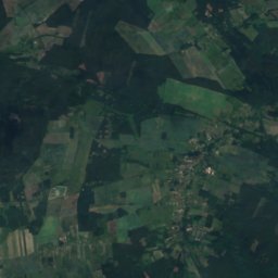
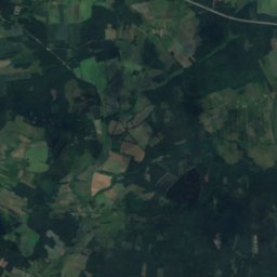
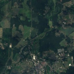
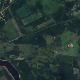
Satellite: Sentinel-2 cloudless 2016 by EOX IT Services GmbH · CC BY 4.0 · Contains modified Copernicus Sentinel data 2016
Großteich, Brandenburg
Lake · 76 m
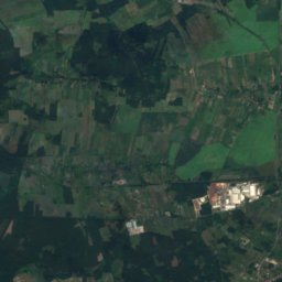
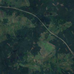
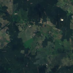
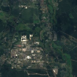
Satellite: Sentinel-2 cloudless 2016 by EOX IT Services GmbH · CC BY 4.0 · Contains modified Copernicus Sentinel data 2016
Klein Jamnoer Teich
Lake · 73 m
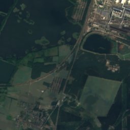
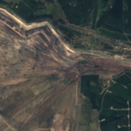
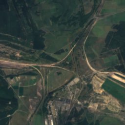
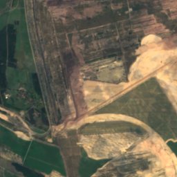
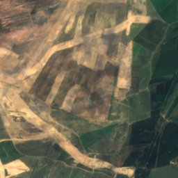
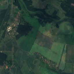
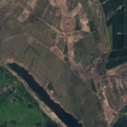
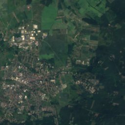
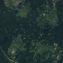
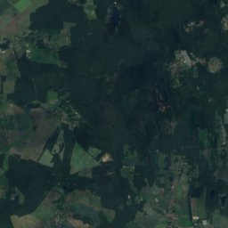
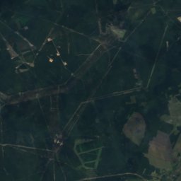
Satellite: Sentinel-2 cloudless 2016 by EOX IT Services GmbH · CC BY 4.0 · Contains modified Copernicus Sentinel data 2016
Bohrauer Teich
Lake · 64 m
Mountains
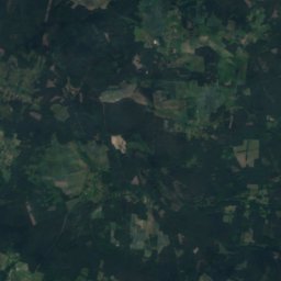
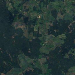
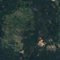
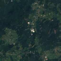
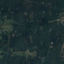
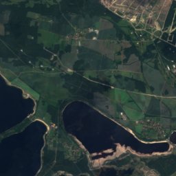
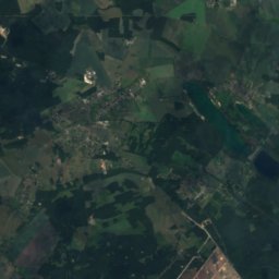
Satellite: Sentinel-2 cloudless 2016 by EOX IT Services GmbH · CC BY 4.0 · Contains modified Copernicus Sentinel data 2016
Rückenberg
227 m · Lusatian Border Ridge

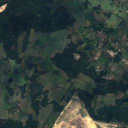
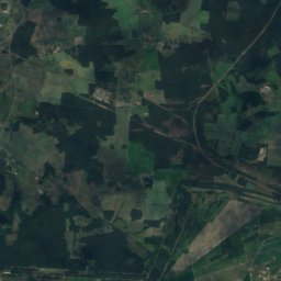
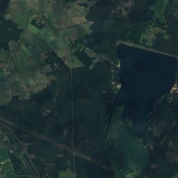
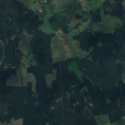
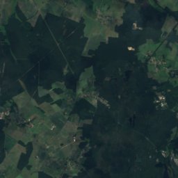
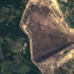
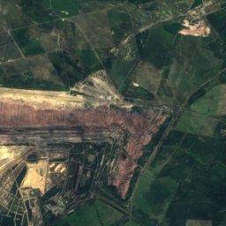
Satellite: Sentinel-2 cloudless 2016 by EOX IT Services GmbH · CC BY 4.0 · Contains modified Copernicus Sentinel data 2016
Georgenberg, Brandenburg
139 m
Heritage
Johann-Sebastian-Bach church
architectural heritage monument in Brandenburg · 1950
Forst (Lausitz) railway station
architectural heritage monument in Brandenburg