
Photo: Olaf Meister · CC BY-SA 3.0 · Wikimedia Commons
Wassertorstraße 13Report this photo · linked, not stored
Wassertorstraße 13Report this photo · linked, not stored

Photo: Olaf Meister · CC BY-SA 3.0 · Wikimedia Commons
Wassertorstraße 15, 16Report this photo · linked, not stored
Wassertorstraße 15, 16Wassertorstraße 15, 16Report this photo · linked, not stored

Photo: Olaf Meister · CC BY-SA 3.0 · Wikimedia Commons
Wassertorstraße 12 (Quedlinburg)Report this photo · linked, not stored
Wassertorstraße 12 (Quedlinburg)Wassertorstraße 12 (Quedlinburg)Report this photo · linked, not stored

Photo: Dirk Ingo Franke · CC BY 3.0 · Wikimedia Commons
Wassertorstraße 5Report this photo · linked, not stored
Wassertorstraße 5Wassertorstraße 5Report this photo · linked, not stored

Photo: Olaf Meister · CC BY-SA 3.0 · Wikimedia Commons
Wassertorstraße 11Report this photo · linked, not stored
Wassertorstraße 11Wassertorstraße 11Report this photo · linked, not stored
timber-framed houseQuedlinburg, Saxony-Anhalt
Wassertorstraße 13
Kulturdenkmal
Typetimber-framed house
Built–
Best monthsMay · Aug–Sepweather in Quedlinburg
51.79° N, 11.14° EUTC+2 · Central European Summer Time
When to goQuedlinburg · weather score
Best timeMay · Aug–Sep
October: high / low14° / 6°
iAbout
Wassertorstraße 13 in brief
Wassertorstraße 13 is a timber-framed house in Quedlinburg, Saxony-Anhalt, Germany.
It holds the designation Kulturdenkmal.
For a visit, the weather in Quedlinburg is best in May, August and September; in October afternoons average 14°.
Facts
- Type
- timber-framed house
- Designation
- Kulturdenkmal
- Nearest town
- Quedlinburg
- Region
- Saxony-Anhalt
- Coordinates
- 51.78540, 11.13820
iiLocation
Where to find it
ivNearby
All monuments in GermanyMore heritage close by


Photo: Andreas Werner (www.andi-werner.de), Quedlinburg · CC BY-SA 3.0 de · Wikimedia CommonsReport this photo · linked, not stored
Wassertorstraße 19 (Quedlinburg)
under 100 m SW
Kulturdenkmal
Around here
Quedlinburg and around

Nature


Photo: User Hejkal at de.wikipedia · CC BY-SA 2.0 de · Wikimedia CommonsReport this photo · linked, not stored
Bremer Teich
Lake
Mountains

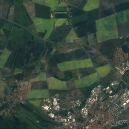
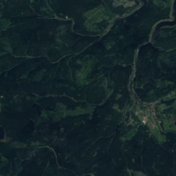
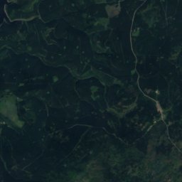
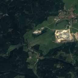
Satellite: Sentinel-2 cloudless 2016 by EOX IT Services GmbH · CC BY 4.0 · Contains modified Copernicus Sentinel data 2016
Heinrichshöhe
1,045 m · Harz
Satellite: Sentinel-2 cloudless 2016 by EOX IT Services GmbH · CC BY 4.0 · Contains modified Copernicus Sentinel data 2016
Königsberg (Brocken)
1,034 m · Harz
Heritage


Museums

Photo: Fingalo Christian Bickel · CC BY-SA 2.0 de · Wikimedia CommonsReport this photo · linked, not stored
Museum Lyonel Feininger
1986



Satellite: Sentinel-2 cloudless 2016 by EOX IT Services GmbH · CC BY 4.0 · Contains modified Copernicus Sentinel data 2016
Schlossmuseum, Quedlinburg


Mitteldeutsches Eisenbahn- und Spielzeugmuseum
Toy museum