

Photo: JoachimKohler-HB · CC BY-SA 4.0 · Wikimedia Commons
Brauhaus am LohbergReport this photo · linked, not stored
Brauhaus am LohbergBrauhaus am LohbergReport this photo · linked, not stored

Photo: Niteshift (talk) · CC BY 3.0 · Wikimedia Commons
GewölbeReport this photo · linked, not stored
GewölbeGewölbeReport this photo · linked, not stored

Photo: Niteshift (talk) · CC BY 3.0 · Wikimedia Commons
BaumhausReport this photo · linked, not stored
BaumhausBaumhausReport this photo · linked, not stored

Photo: Siegfried von Brilon · CC BY-SA 3.0 · Wikimedia Commons
Thormann-SpeicherReport this photo · linked, not stored
Thormann-SpeicherThormann-SpeicherReport this photo · linked, not stored
water gateWismar, Mecklenburg-Vorpommern
Wassertor
architectural heritage monument in Mecklenburg-VorpommernBuilt 1450
Typewater gateBrick Gothic
Built1450
Best monthsMay–Jun · Sepweather in Wismar
53.90° N, 11.46° EUTC+2 · Central European Summer Time
Standing for576 years
built 1450today 2026
When to goWismar · weather score
Best timeMay–Jun · Sep
October: high / low14° / 7°
iAbout
Wassertor in brief
Wassertor is a water gate in Wismar, Mecklenburg-Vorpommern, Germany.
It holds the designation architectural heritage monument in Mecklenburg-Vorpommern.
The water gate dates from 1450 and is built in the Brick Gothic style.
For a visit, the weather in Wismar is best in May, June and September; in October afternoons average 14°.
Facts
- Type
- water gate
- Designation
- architectural heritage monument in Mecklenburg-Vorpommern
- Built
- 1450
- Style
- Brick Gothic
- Nearest town
- Wismar
- Region
- Mecklenburg-Vorpommern
- Coordinates
- 53.89640, 11.46130
iiLocation
Where to find it
ivNearby
All monuments in GermanyMore heritage close by
Photo: Siegfried von Brilon · CC BY-SA 3.0 · Wikimedia CommonsReport this photo · linked, not stored
Thormann-Speicher
0.2 km NW
architectural heritage monument in Mecklenburg-Vorpommern


Satellite: Sentinel-2 cloudless 2016 by EOX IT Services GmbH · CC BY 4.0 · Contains modified Copernicus Sentinel data 2016
Löwe-Speicher
0.3 km N
architectural heritage monument in Mecklenburg-Vorpommern

Around here
Wismar and around

Nature


Mountains

Photo: Rosentod, Attribution must include the URL http://de.wikipedia.org/wiki/Benutzer · CC BY-SA 3.0 · Wikimedia CommonsReport this photo · linked, not stored
Hohe Burg
147 m





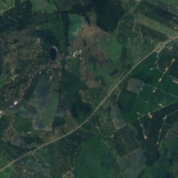
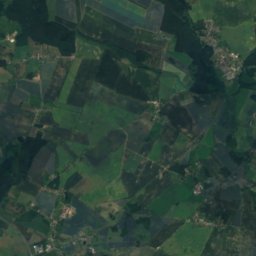
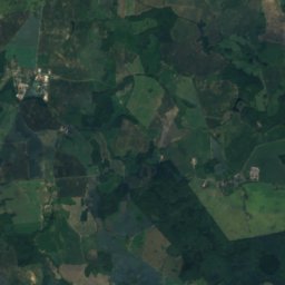
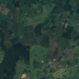
Satellite: Sentinel-2 cloudless 2016 by EOX IT Services GmbH · CC BY 4.0 · Contains modified Copernicus Sentinel data 2016
Diedrichshagener Berg
130 m
Heritage

St Nicholas Church Wismar
architectural heritage monument in Mecklenburg-Vorpommern · 1381

Townhall of Wismar
architectural heritage monument in Mecklenburg-Vorpommern

Georgenkirche (Wismar)
architectural heritage monument in Mecklenburg-Vorpommern
Museums
Satellite: Sentinel-2 cloudless 2016 by EOX IT Services GmbH · CC BY 4.0 · Contains modified Copernicus Sentinel data 2016
State Museum of Technology
1961


