
Photo: Reinhold Möller · CC BY-SA 4.0 · Wikimedia Commons
Wallfahrtskirche, SandReport this photo · linked, not stored
Wallfahrtskirche, SandReport this photo · linked, not stored

Photo: Stephan van Helden · CC BY-SA 4.0 · Wikimedia Commons
Judenfriedhof, SandReport this photo · linked, not stored
Judenfriedhof, SandJudenfriedhof, SandReport this photo · linked, not stored

Photo: Fornax · CC BY-SA 3.0 · Wikimedia Commons
St. Nikolaus (Sand am Main)Report this photo · linked, not stored
St. Nikolaus (Sand am Main)St. Nikolaus (Sand am Main)Report this photo · linked, not stored

Photo: Benutzer:Dark Avenger · Public domain · Wikimedia Commons
Burgruine, Zeil am MainReport this photo · linked, not stored
Burgruine, Zeil am MainBurgruine, Zeil am MainReport this photo · linked, not stored

Photo: Benreis · CC BY-SA 3.0 · Wikimedia Commons
Kirche, Zeil am MainReport this photo · linked, not stored
Kirche, Zeil am MainKirche, Zeil am MainReport this photo · linked, not stored
Catholic pilgrimage churchSand, Bavaria
Wallfahrtskirche, Sand
architectural heritage monument in Bavaria
TypeCatholic pilgrimage church
Built–
Best monthsJun · Aug–Sepweather in Sand
49.99° N, 10.62° EUTC+1 · Central European Standard Time
When to goSand · weather score
Best timeJun · Aug–Sep
October: high / low14° / 6°
iAbout
Wallfahrtskirche, Sand in brief
Wallfahrtskirche, Sand is a catholic pilgrimage church in Sand, Bavaria, Germany.
It holds the designation architectural heritage monument in Bavaria.
For a visit, the weather in Sand is best in June, August and September; in October afternoons average 14°.
iiLocation
Where to find it
iiiWhen to visit
Climate guideWeather in Sand
Month score for sightseeing
Best Jun · Aug–Sep17
Jan
26
Feb
27
Mar
62
Apr
66
May
68
Jun
65
Jul
68
Aug
73
Sep
47
Oct
22
Nov
15
Dec
ivNearby
All monuments in GermanyMore heritage close by
St. Nikolaus (Sand am Main)
2.2 km W
architectural heritage monument in Bavaria
Photo: Benutzer:Dark Avenger · Public domain · Wikimedia CommonsReport this photo · linked, not stored
Burgruine, Zeil am Main
2.3 km N
architectural heritage monument in Bavaria


Around here
Sand and around
Nature
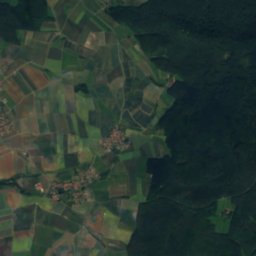
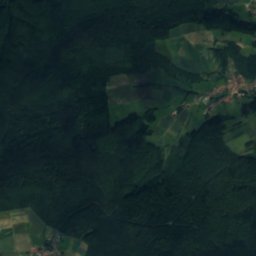
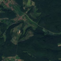
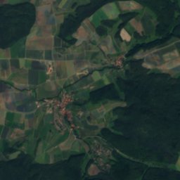
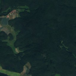
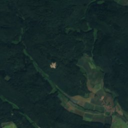
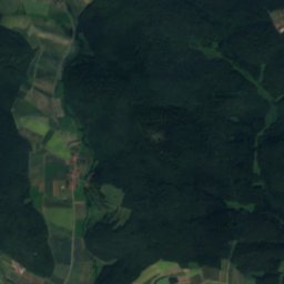
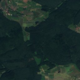
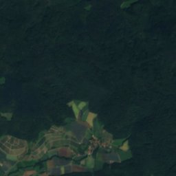
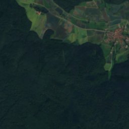
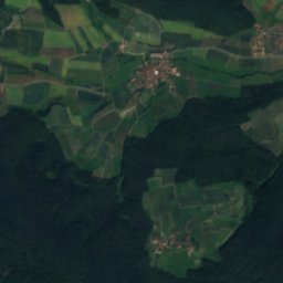
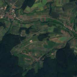
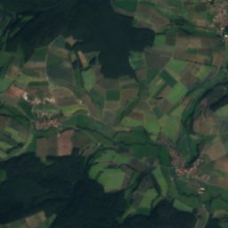
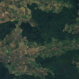
Satellite: Sentinel-2 cloudless 2016 by EOX IT Services GmbH · CC BY 4.0 · Contains modified Copernicus Sentinel data 2016
Schmerbach (Rauhe Ebrach)
River
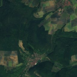
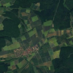
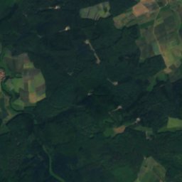
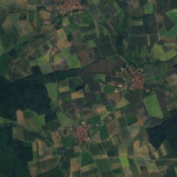
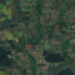
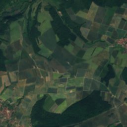
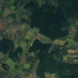
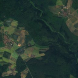
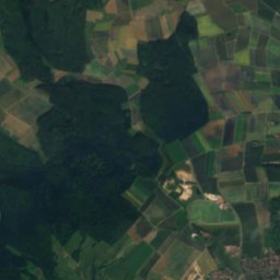
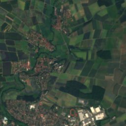
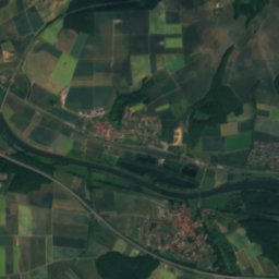
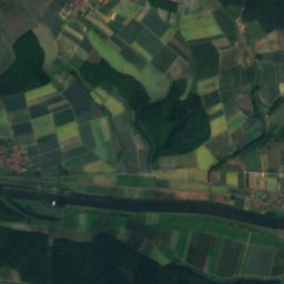
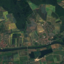
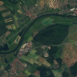
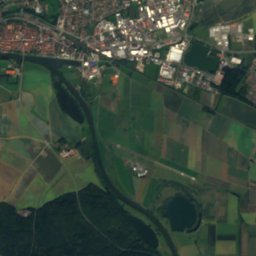
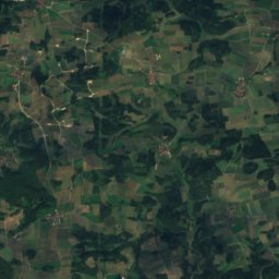
Satellite: Sentinel-2 cloudless 2016 by EOX IT Services GmbH · CC BY 4.0 · Contains modified Copernicus Sentinel data 2016
Wässernach
River
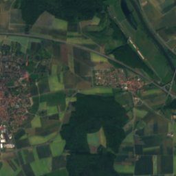
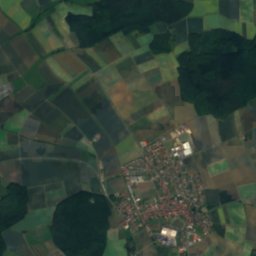
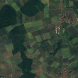
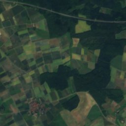
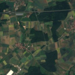
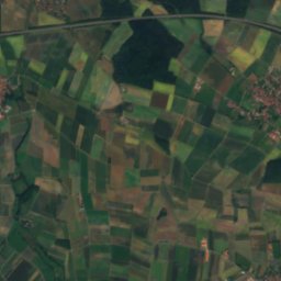
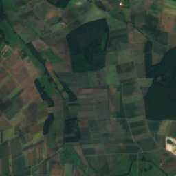
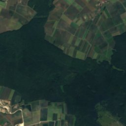
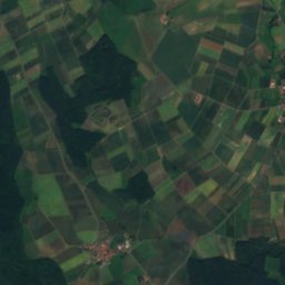
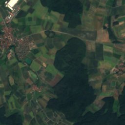
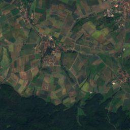
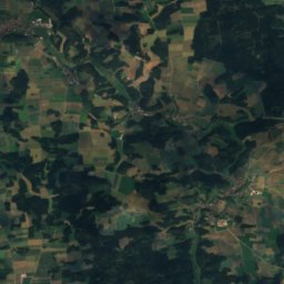
Satellite: Sentinel-2 cloudless 2016 by EOX IT Services GmbH · CC BY 4.0 · Contains modified Copernicus Sentinel data 2016
Schwappacher See
Lake · 260 m
Mountains
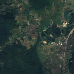
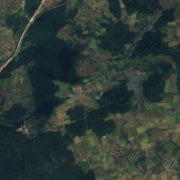
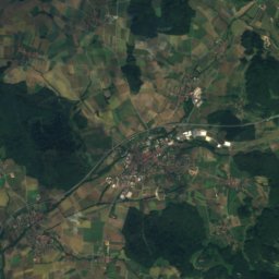
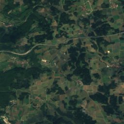
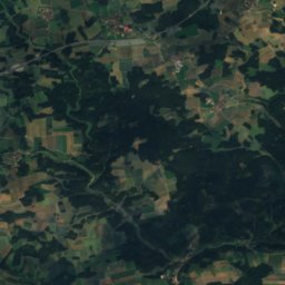
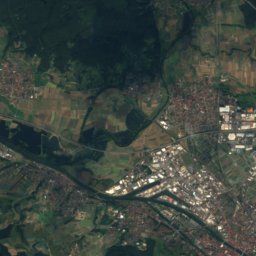
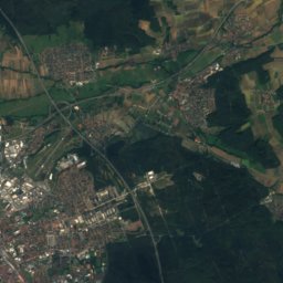
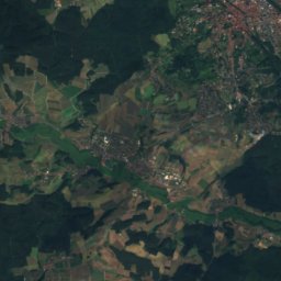
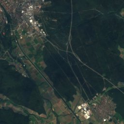
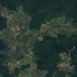
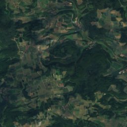
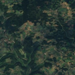
Satellite: Sentinel-2 cloudless 2016 by EOX IT Services GmbH · CC BY 4.0 · Contains modified Copernicus Sentinel data 2016
Geisberg (Geisberg Forest)
585 m · Franconian Jura

Photo: Flash83 at German Wikipedia · Public domain · Wikimedia CommonsReport this photo · linked, not stored
Kemitzenstein
581 m · Franconian Jura

Heritage
St. Nikolaus (Sand am Main)
architectural heritage monument in Bavaria
Satellite: Sentinel-2 cloudless 2016 by EOX IT Services GmbH · CC BY 4.0 · Contains modified Copernicus Sentinel data 2016
Judenfriedhof, Sand
architectural heritage monument in Bavaria

Geburtshaus von Alberich Degen
architectural heritage monument in Bavaria
Museums

Satellite: Sentinel-2 cloudless 2016 by EOX IT Services GmbH · CC BY 4.0 · Contains modified Copernicus Sentinel data 2016
Museum Schloss Oberschwappach






Satellite: Sentinel-2 cloudless 2016 by EOX IT Services GmbH · CC BY 4.0 · Contains modified Copernicus Sentinel data 2016
Schmiedemuseum Kirchlauter
1996