Skip to content
Destinations
Weather & climate
Nature
Outdoors
Culture
Events
Sky & live
Villa Max
Photo: Gras-Ober, Wikipedia/Wikimedia Commons (cc-by-sa-3.0) · CC BY-SA 3.0 · Wikimedia Commons
Villa MaxReport this photo · linked, not stored
Villa Siegle
Photo: Gras-Ober, Wikipedia/Wikimedia Commons (cc-by-sa-3.0) · CC BY-SA 3.0 · Wikimedia Commons
Villa SiegleReport this photo · linked, not stored
Villa Siegle
Villa Rösl
Photo: Ralfi1969 · CC0 · Wikimedia Commons
Villa RöslReport this photo · linked, not stored
Villa Rösl
Schlosskapelle, Münsing
Photo: Friedrich Haag · CC BY-SA 4.0 · Wikimedia Commons
Schlosskapelle, MünsingReport this photo · linked, not stored
Schlosskapelle, Münsing
Schloss Ammerland
Photo: GFreihalter · CC BY-SA 3.0 · Wikimedia Commons
Schloss AmmerlandReport this photo · linked, not stored
Schloss Ammerland
villaMünsing, Bavaria

Villa Max

architectural heritage monument in Bavaria
Typevilla
Built–
Best monthsMay · Jul–Augweather in Münsing
47.90° N, 11.33° EUTC+1 · Central European Standard Time
When to goMünsing · weather score
JanFebMarAprMayJunJulAugSepOctNovDec43October
Best timeMay · Jul–Aug
October: high / low14° / 5°
iAbout

Villa Max in brief

Villa Max is a villa in Münsing, Bavaria, Germany.

It holds the designation architectural heritage monument in Bavaria.

For a visit, the weather in Münsing is best in May, July and August; in October afternoons average 14°.

Münsing: weather and travel guide

Facts

Type
villa
Designation
architectural heritage monument in Bavaria
Nearest town
Münsing
Region
Bavaria
Coordinates
47.89880, 11.33450
iiLocation

Where to find it

iiiWhen to visit

Weather in Münsing

Climate guide

Month score for sightseeing

Best May · Jul–Aug
19
Jan
23
Feb
18
Mar
45
Apr
62
May
62
Jun
65
Jul
65
Aug
62
Sep
43
Oct
24
Nov
17
Dec
ivNearby

More heritage close by

All monuments in Germany
Villa Siegle
Photo: Gras-Ober, Wikipedia/Wikimedia Commons (cc-by-sa-3.0) · CC BY-SA 3.0 · Wikimedia CommonsReport this photo · linked, not stored

Villa Siegle

under 100 m S
architectural heritage monument in Bavaria
Villa Siegle
Villa Rösl
Photo: Ralfi1969 · CC0 · Wikimedia CommonsReport this photo · linked, not stored

Villa Rösl

0.2 km NE
architectural heritage monument in Bavaria
Villa Rösl
Schlosskapelle, Münsing
Photo: Friedrich Haag · CC BY-SA 4.0 · Wikimedia CommonsReport this photo · linked, not stored

Schlosskapelle, Münsing

0.7 km N
architectural heritage monument in Bavaria
Schlosskapelle, Münsing
Schloss Ammerland
Photo: GFreihalter · CC BY-SA 3.0 · Wikimedia CommonsReport this photo · linked, not stored

Schloss Ammerland

0.7 km N
architectural heritage monument in Bavaria
Schloss Ammerland
St. Vitus (Staudach)
Photo: Friedrich Haag · CC BY-SA 4.0 · Wikimedia CommonsReport this photo · linked, not stored

St. Vitus (Staudach)

0.8 km E
architectural heritage monument in Bavaria
St. Vitus (Staudach)
Lake Starnberg
Photo: Carsten Steger · CC BY-SA 4.0 · Wikimedia CommonsReport this photo · linked, not stored

Lake Starnberg

2.1 km W
Ramsar site
Lake Starnberg
Around here

Münsing and around

Münsing
Photo: Mausemarie · CC BY-SA 3.0 · Wikimedia CommonsReport this photo · linked, not stored

Münsing

Bavaria · Germany
May · Jul–Augbest months
23°July high
667 maltitude
Münsing

Nature

Lake Starnberg
Photo: Carsten Steger · CC BY-SA 4.0 · Wikimedia CommonsReport this photo · linked, not stored
4.5 km W

Lake Starnberg

Lake · 584 m
Lake Starnberg
Würm, Bavaria
Photo: High Contrast · CC BY 3.0 de · Wikimedia CommonsReport this photo · linked, not stored
11 km N

Würm, Bavaria

River
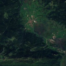
Würm, Bavaria
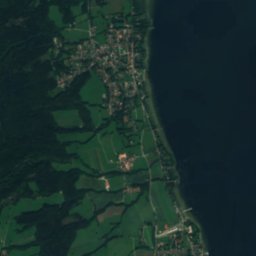
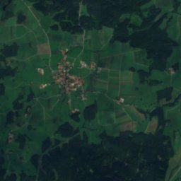
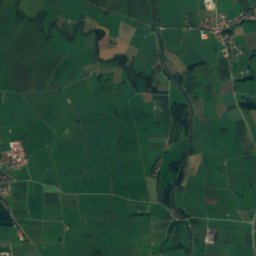
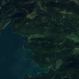
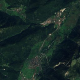
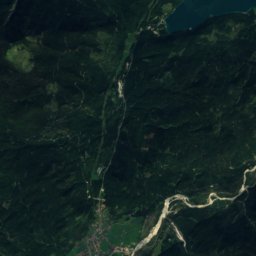
Satellite: Sentinel-2 cloudless 2016 by EOX IT Services GmbH · CC BY 4.0 · Contains modified Copernicus Sentinel data 2016
12 km W

Maisinger Bach

River · 587 m
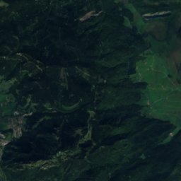
Maisinger Bach

Mountains

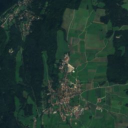
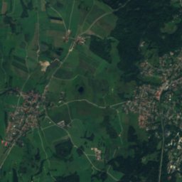
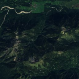
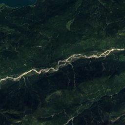
Satellite: Sentinel-2 cloudless 2016 by EOX IT Services GmbH · CC BY 4.0 · Contains modified Copernicus Sentinel data 2016
39 km S

Hohe Kisten

1,922 m · Ester Mountains
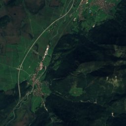
Hohe Kisten
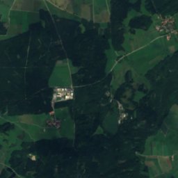
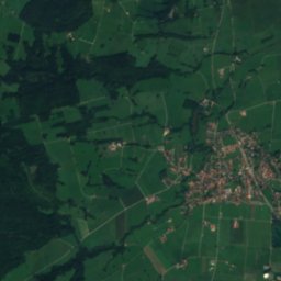
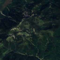
Satellite: Sentinel-2 cloudless 2016 by EOX IT Services GmbH · CC BY 4.0 · Contains modified Copernicus Sentinel data 2016
38 km S

Simetsberg

1,836 m · Ester Mountains
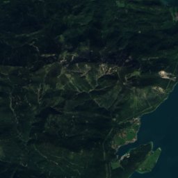
Simetsberg
Benediktenwand
Photo: 2015 Michael 2015 · CC BY-SA 4.0 · Wikimedia CommonsReport this photo · linked, not stored
28 km S

Benediktenwand

1,801 m · Eastern Wallgau Alps
Benediktenwand

Heritage

Mariä Himmelfahrt, Münsing
Photo: Friedrich Haag · CC BY-SA 4.0 · Wikimedia CommonsReport this photo · linked, not stored
0.4 km N

Mariä Himmelfahrt, Münsing

architectural heritage monument in Bavaria
Mariä Himmelfahrt, Münsing
St. Vitus (Staudach)
Photo: Friedrich Haag · CC BY-SA 4.0 · Wikimedia CommonsReport this photo · linked, not stored
1.6 km W

St. Vitus (Staudach)

architectural heritage monument in Bavaria · 1600
St. Vitus (Staudach)
St. Michael, Münsing
Photo: Ulwald · CC BY-SA 3.0 · Wikimedia CommonsReport this photo · linked, not stored
2.4 km SE

St. Michael, Münsing

architectural heritage monument in Bavaria
St. Michael, Münsing

Museums

Buchheim Museum of Imagination
Photo: Unknown author · CC BY-SA 3.0 · Wikimedia CommonsReport this photo · linked, not stored
6.6 km SW

Buchheim Museum of Imagination

Art museum · 2001
Buchheim Museum of Imagination
Erinnerungsort Badehaus
Photo: Justine Bittner, Fotografin aus Geretsried · CC BY-SA 4.0 · Wikimedia CommonsReport this photo · linked, not stored
5.8 km E

Erinnerungsort Badehaus

History museum
Erinnerungsort Badehaus
Ortsmuseum Tutzing
Photo: Stefan Karl · CC BY-SA 4.0 · Wikimedia CommonsReport this photo · linked, not stored
6.4 km W

Ortsmuseum Tutzing

Local museum · 2010
Ortsmuseum Tutzing