
 Wettenburg
 Bettingbergtunnel

Photo: Triplec85 · CC BY-SA 4.0 · Wikimedia Commons
Jüdischer Friedhof WertheimReport this photo · linked, not stored
Jüdischer Friedhof WertheimJüdischer Friedhof WertheimReport this photo · linked, not stored

Photo: Agricolax · CC BY-SA 4.0 · Wikimedia Commons
Burg WertheimReport this photo · linked, not stored
Burg WertheimBurg WertheimReport this photo · linked, not stored
fortified churchKreuzwertheim, Bavaria
Veitskirche
cultural heritage monument in Baden-Württemberg
Typefortified church
Built–
Best monthsMay–Jun · Sepweather in Kreuzwertheim
49.77° N, 9.54° EUTC+1 · Central European Standard Time
When to goKreuzwertheim · weather score
Best timeMay–Jun · Sep
October: high / low14° / 6°
iAbout
Veitskirche in brief
Veitskirche is a fortified church in Kreuzwertheim, Bavaria, Germany.
It holds the designation cultural heritage monument in Baden-Württemberg.
For a visit, the weather in Kreuzwertheim is best in May, June and September; in October afternoons average 14°.
Facts
- Type
- fortified church
- Designation
- cultural heritage monument in Baden-Württemberg
- Nearest town
- Kreuzwertheim
- Region
- Bavaria
- Coordinates
- 49.76522, 9.54447
iiLocation
Where to find it
iiiWhen to visit
Climate guideWeather in Kreuzwertheim
Month score for sightseeing
Best May–Jun · Sep19
Jan
26
Feb
31
Mar
66
Apr
67
May
69
Jun
65
Jul
67
Aug
75
Sep
48
Oct
23
Nov
15
Dec
ivNearby
All monuments in GermanyMore heritage close by
Jüdischer Friedhof Wertheim
1.6 km W
cultural heritage monument in Baden-Württemberg


Stiftskirche (Wertheim)
2.0 km W
cultural heritage monument in Baden-Württemberg
Around here
Kreuzwertheim and around

Photo: Fritz Geller-Grimm supported by Rüdiger Wandke · CC BY-SA 3.0 · Wikimedia CommonsReport this photo · linked, not stored
Kreuzwertheim
Bavaria · Germany
May–Jun · Sepbest months
26°July high
150 maltitude
Nature


Photo: © Freak-Line-Community / Wikimedia Commons · CC BY-SA 4.0 · Wikimedia CommonsReport this photo · linked, not stored
Erlenbach (Main)
River · 148 m

Photo: © Freak-Line-Community / Wikimedia Commons · CC BY-SA 3.0 · Wikimedia CommonsReport this photo · linked, not stored
Faulbach
River
Mountains

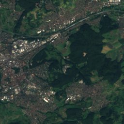
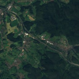
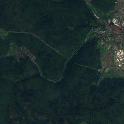
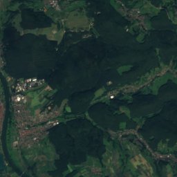
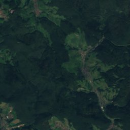
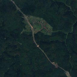

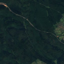
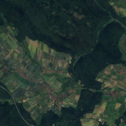
Satellite: Sentinel-2 cloudless 2016 by EOX IT Services GmbH · CC BY 4.0 · Contains modified Copernicus Sentinel data 2016
Lärchhöhe
573 m · Spessart
Satellite: Sentinel-2 cloudless 2016 by EOX IT Services GmbH · CC BY 4.0 · Contains modified Copernicus Sentinel data 2016
Hohe Warte (Spessart)
572 m · Spessart
Heritage

Photo: Dem Zwickelbert sei Frau · Public domain · Wikimedia CommonsReport this photo · linked, not stored
Saint Venantius of Camerino Church
cultural heritage monument in Baden-Württemberg
Museums


Satellite: Sentinel-2 cloudless 2016 by EOX IT Services GmbH · CC BY 4.0 · Contains modified Copernicus Sentinel data 2016
Grafschaftsmuseum Wertheim
1989


