
Photo: Heinz K. S. · CC BY-SA 4.0 · Wikimedia Commons
TraformatorenhausReport this photo · linked, not stored
TraformatorenhausReport this photo · linked, not stored

Photo: Baummapper · CC BY-SA 3.0 de · Wikimedia Commons
Evangelische Kirche BurghofenReport this photo · linked, not stored
Evangelische Kirche BurghofenEvangelische Kirche BurghofenReport this photo · linked, not stored

Photo: Heinz K. S. · CC BY-SA 4.0 · Wikimedia Commons
Kirche ThurnhosbachReport this photo · linked, not stored
Kirche ThurnhosbachKirche ThurnhosbachReport this photo · linked, not stored

Photo: Heinz K. S. · CC BY-SA 4.0 · Wikimedia Commons
Evangelische Kirche FriemenReport this photo · linked, not stored
Evangelische Kirche FriemenEvangelische Kirche FriemenReport this photo · linked, not stored

Photo: Andreas56 · CC BY-SA 3.0 · Wikimedia Commons
Bischofferoder TunnelReport this photo · linked, not stored
Bischofferoder TunnelBischofferoder TunnelReport this photo · linked, not stored
built structureCornberg, Hesse
Traformatorenhaus
cultural heritage monument in Hesse
Typebuilt structure
Built–
Best monthsMay · Aug–Sepweather in Cornberg
51.09° N, 9.81° EUTC+1 · Central European Standard Time
When to goCornberg · weather score
Best timeMay · Aug–Sep
October: high / low13° / 5°
iAbout
Traformatorenhaus in brief
Traformatorenhaus is a built structure in Cornberg, Hesse, Germany.
It holds the designation cultural heritage monument in Hesse.
For a visit, the weather in Cornberg is best in May, August and September; in October afternoons average 13°.
iiLocation
Where to find it
iiiWhen to visit
Climate guideWeather in Cornberg
Month score for sightseeing
Best May · Aug–Sep12
Jan
19
Feb
20
Mar
51
Apr
64
May
63
Jun
64
Jul
65
Aug
69
Sep
36
Oct
14
Nov
10
Dec
ivNearby
All monuments in GermanyMore heritage close by
Evangelische Kirche Burghofen
3.3 km NE
cultural heritage monument in Hesse

Evangelische Kirche Hetzerode
4.7 km N
cultural heritage monument in Hesse

Linde auf dem Anger in Rechtebach
4.8 km NE
Single natural monument in Hesse
Around here
Cornberg and around

Nature


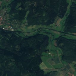
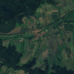
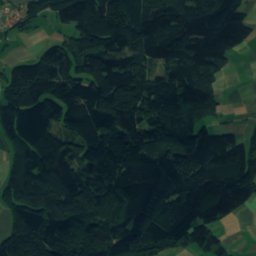
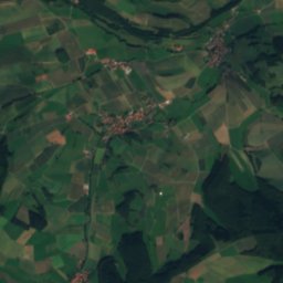
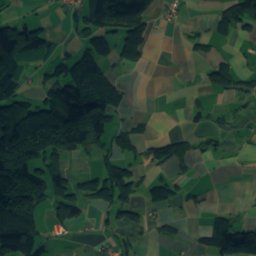
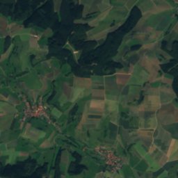
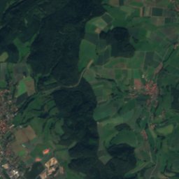
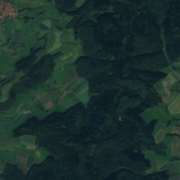
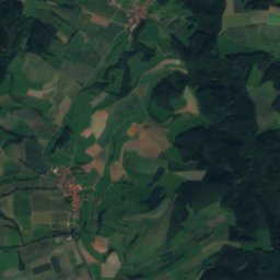
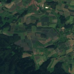
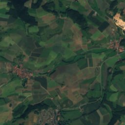
Mountains
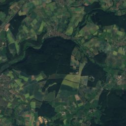
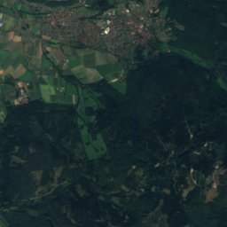
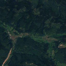
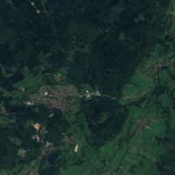
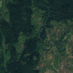
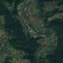
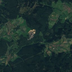
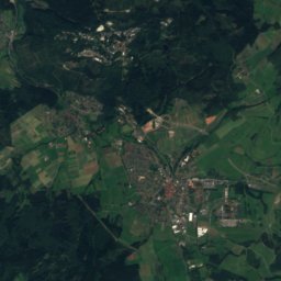
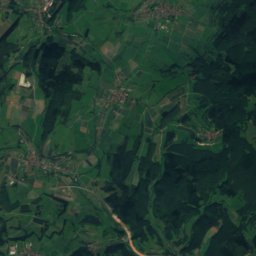
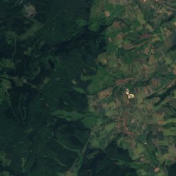
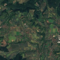
Satellite: Sentinel-2 cloudless 2016 by EOX IT Services GmbH · CC BY 4.0 · Contains modified Copernicus Sentinel data 2016
Kasseler Kuppe
754 m

Photo: © Heinrich Stürzl / Wikimedia Commons · CC BY-SA 4.0 · Wikimedia CommonsReport this photo · linked, not stored
Hoher Meissner
753 m

Heritage


Satellite: Sentinel-2 cloudless 2016 by EOX IT Services GmbH · CC BY 4.0 · Contains modified Copernicus Sentinel data 2016
Evangelische Kirche Mönchhosbach
cultural heritage monument in Hesse

Evangelische Stadtkirche, Sontra
cultural heritage monument in Hesse · 1558
Museums

Satellite: Sentinel-2 cloudless 2016 by EOX IT Services GmbH · CC BY 4.0 · Contains modified Copernicus Sentinel data 2016
Cornberger Sandsteinmuseum


Satellite: Sentinel-2 cloudless 2016 by EOX IT Services GmbH · CC BY 4.0 · Contains modified Copernicus Sentinel data 2016
Jüdisches Museum in Rotenburg an der Fulda
Jewish museum · 2006


Satellite: Sentinel-2 cloudless 2016 by EOX IT Services GmbH · CC BY 4.0 · Contains modified Copernicus Sentinel data 2016
Wasserturm Bebra
Railway museum