Skip to content
Destinations
Weather & climate
Nature
Outdoors
Culture
Events
Sky & live
Torwerk
Photo: Giorno2 · CC BY-SA 4.0 · Wikimedia Commons
TorwerkReport this photo · linked, not stored
Otto-Schott-Straße 2
Photo: Giorno2 · CC BY-SA 4.0 · Wikimedia Commons
Otto-Schott-Straße 2Report this photo · linked, not stored
Otto-Schott-Straße 2
Kunstturm
Photo: Oberlausitzerin64 · CC BY-SA 4.0 · Wikimedia Commons
KunstturmReport this photo · linked, not stored
Kunstturm
Schlachthof Weimar
Photo: Giorno2 · CC BY-SA 4.0 · Wikimedia Commons
Schlachthof WeimarReport this photo · linked, not stored
Schlachthof Weimar
Vereinsmühle
Photo: Giorno2 · CC BY 4.0 · Wikimedia Commons
VereinsmühleReport this photo · linked, not stored
Vereinsmühle
machine shopTiefurt, Thuringia

Torwerk

Heritage monument in Thuringia
Typemachine shop
Built–
Best monthsJun · Aug–Sepweather in Tiefurt
50.99° N, 11.34° EUTC+1 · Central European Standard Time
When to goTiefurt · weather score
JanFebMarAprMayJunJulAugSepOctNovDec48October
Best timeJun · Aug–Sep
October: high / low14° / 6°
iAbout

Torwerk in brief

Torwerk is a machine shop in Tiefurt, Thuringia, Germany.

It holds the designation Heritage monument in Thuringia.

For a visit, the weather in Tiefurt is best in June, August and September; in October afternoons average 14°.

Tiefurt: weather and travel guide

Facts

Type
machine shop
Designation
Heritage monument in Thuringia
Nearest town
Tiefurt
Region
Thuringia
Coordinates
50.99262, 11.33802
iiLocation

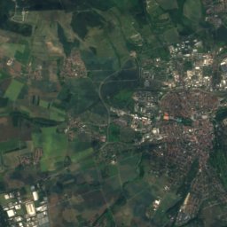
Where to find it

iiiWhen to visit

Weather in Tiefurt

Climate guide

Month score for sightseeing

Best Jun · Aug–Sep
18
Jan
26
Feb
24
Mar
60
Apr
66
May
67
Jun
65
Jul
69
Aug
73
Sep
48
Oct
22
Nov
16
Dec
ivNearby

More heritage close by

All monuments in Germany
Otto-Schott-Straße 2
Photo: Giorno2 · CC BY-SA 4.0 · Wikimedia CommonsReport this photo · linked, not stored

Otto-Schott-Straße 2

0.1 km NW
Heritage monument in Thuringia
Otto-Schott-Straße 2
Kunstturm
Photo: Oberlausitzerin64 · CC BY-SA 4.0 · Wikimedia CommonsReport this photo · linked, not stored

Kunstturm

0.5 km SW
Heritage monument in Thuringia
Kunstturm
Schlachthof Weimar
Photo: Giorno2 · CC BY-SA 4.0 · Wikimedia CommonsReport this photo · linked, not stored

Schlachthof Weimar

0.6 km SW
Heritage monument in Thuringia
Schlachthof Weimar
Vereinsmühle
Photo: Giorno2 · CC BY 4.0 · Wikimedia CommonsReport this photo · linked, not stored

Vereinsmühle

0.6 km S
Heritage monument in Thuringia
Vereinsmühle
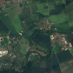
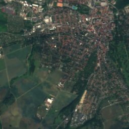
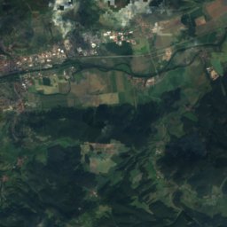
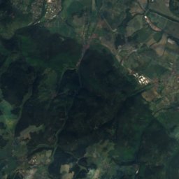
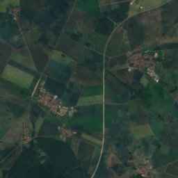
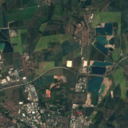
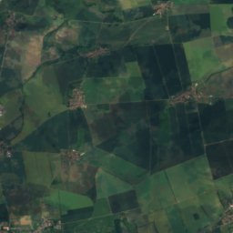
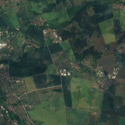
Satellite: Sentinel-2 cloudless 2016 by EOX IT Services GmbH · CC BY 4.0 · Contains modified Copernicus Sentinel data 2016

Sechsbogenbrücke

0.7 km SE
Heritage monument in Thuringia
Sechsbogenbrücke
Schopenhauerstraße 11
Photo: Z thomas · CC BY-SA 4.0 · Wikimedia CommonsReport this photo · linked, not stored

Schopenhauerstraße 11

0.7 km W
Heritage monument in Thuringia
Schopenhauerstraße 11
Around here

Tiefurt and around

Tiefurt
Photo: Felix König · CC BY 3.0 · Wikimedia CommonsReport this photo · linked, not stored

Tiefurt

Thuringia · Germany
Jun · Aug–Sepbest months
25°July high
214 maltitude
Tiefurt

Nature

Magdel
Photo: NoRud · CC BY-SA 4.0 · Wikimedia CommonsReport this photo · linked, not stored
7.4 km SE

Magdel

River · 231 m
Magdel
Talsperre Hopfgarten
Photo: ProfessorX · CC BY-SA 3.0 · Wikimedia CommonsReport this photo · linked, not stored
10 km W

Talsperre Hopfgarten

Lake · 219 m
Talsperre Hopfgarten
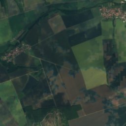
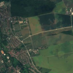
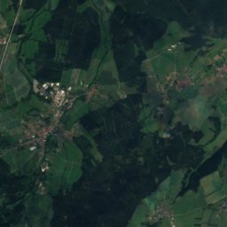
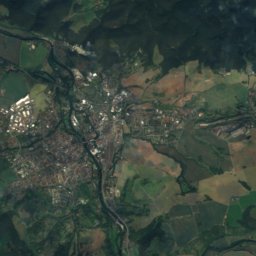
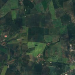
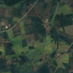
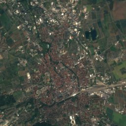
Satellite: Sentinel-2 cloudless 2016 by EOX IT Services GmbH · CC BY 4.0 · Contains modified Copernicus Sentinel data 2016
1.3 km E

Vergilgrotte Tiefurt

Cave
Vergilgrotte Tiefurt

Mountains

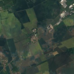
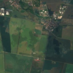
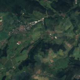
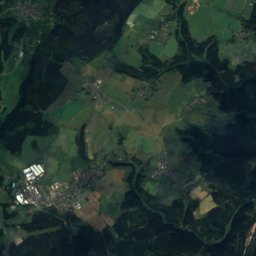
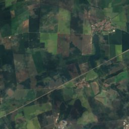
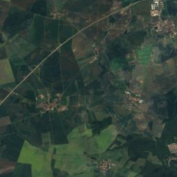
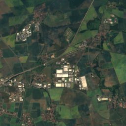
Satellite: Sentinel-2 cloudless 2016 by EOX IT Services GmbH · CC BY 4.0 · Contains modified Copernicus Sentinel data 2016
39 km S

Zipptannskuppe

657 m · Thuringian Highland
Zipptannskuppe
Willinger Berg
Photo: Nadine Machalett · CC BY-SA 4.0 · Wikimedia CommonsReport this photo · linked, not stored
35 km SW

Willinger Berg

502 m · Ilm-Saale-Platte
Willinger Berg
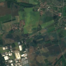
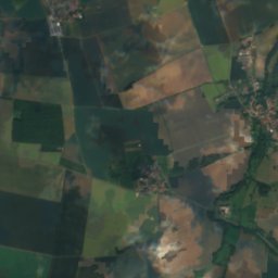
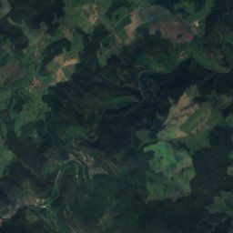
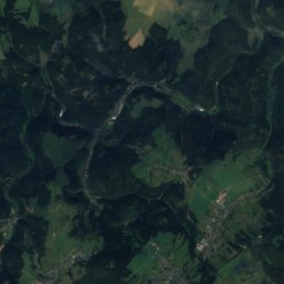
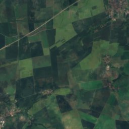
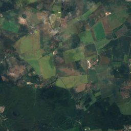
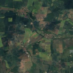
Satellite: Sentinel-2 cloudless 2016 by EOX IT Services GmbH · CC BY 4.0 · Contains modified Copernicus Sentinel data 2016
6.8 km W

Großer Ettersberg

482 m · Ettersberg
Großer Ettersberg

Heritage

Haus am Horn
Photo: © Raimond Spekking / CC BY-SA 4.0 (via Wikimedia Commons) · CC BY-SA 4.0 · Wikimedia CommonsReport this photo · linked, not stored
2.1 km S

Haus am Horn

part of UNESCO World Heritage Site
Haus am Horn
Duchess Anna Amalia Library
Photo: Rudolf Klein · CC BY-SA 3.0 de · Wikimedia CommonsReport this photo · linked, not stored
1.9 km SW

Duchess Anna Amalia Library

World Heritage Site · 1562
Duchess Anna Amalia Library
Römisches Haus, Weimar
Photo: © R.Möhler · CC BY-SA 3.0 · Wikimedia CommonsReport this photo · linked, not stored
2.5 km SW

Römisches Haus, Weimar

architectural heritage monument · 1790
Römisches Haus, Weimar

Museums

Bauhaus Museum, Weimar
Photo: © Steffen Schmitz (Carschten) / Wikimedia Commons / CC BY-SA 4.0 · CC BY-SA 4.0 · Wikimedia CommonsReport this photo · linked, not stored
2.0 km SW

Bauhaus Museum, Weimar

Art museum · 1995
Bauhaus Museum, Weimar
Nietzsche Archive
Photo: DWRZ David Wen Riccardi-Zhu · CC BY 2.5 · Wikimedia CommonsReport this photo · linked, not stored
3.2 km SW

Nietzsche Archive

1894
Nietzsche Archive
Goethe-Nationalmuseum
Photo: Christian Bohr · CC BY-SA 3.0 · Wikimedia CommonsReport this photo · linked, not stored
2.2 km SW

Goethe-Nationalmuseum

1885
Goethe-Nationalmuseum