
Photo: Foto: Käthe und Bernd Limburg, www.limburg-bernd.de / Lizenz: Creative Commons B · CC BY-SA 3.0 de · Wikimedia Commons
Tomper Straße 21Report this photo · linked, not stored
Tomper Straße 21Report this photo · linked, not stored

Photo: Foto: Käthe und Bernd Limburg, www.limburg-bernd.de / Lizenz: Creative Commons B · CC BY-SA 3.0 de · Wikimedia Commons
Tomper Straße 27Report this photo · linked, not stored
Tomper Straße 27Tomper Straße 27Report this photo · linked, not stored

Photo: Foto: Käthe und Bernd Limburg, www.limburg-bernd.de / Lizenz: Creative Commons B · CC BY-SA 3.0 de · Wikimedia Commons
Agatha of Sicily ChapelReport this photo · linked, not stored
Agatha of Sicily ChapelAgatha of Sicily ChapelReport this photo · linked, not stored

Photo: Foto: Käthe und Bernd Limburg, www.limburg-bernd.de / Lizenz: Creative Commons B · CC BY-SA 3.0 de · Wikimedia Commons
Marienkapelle HardtReport this photo · linked, not stored
Marienkapelle HardtMarienkapelle HardtReport this photo · linked, not stored

Photo: Huckety · CC BY-SA 3.0 · Wikimedia Commons
Hardter Waldstraße 16aReport this photo · linked, not stored
Hardter Waldstraße 16aHardter Waldstraße 16aReport this photo · linked, not stored
buildingSchwalmtal, North Rhine-Westphalia
Tomper Straße 21
architectural heritage monument in North Rhine-Westphalia
Typebuilding
Built–
Best monthsMay · Aug–Sepweather in Schwalmtal
51.21° N, 6.34° EUTC+1 · Central European Standard Time
When to goSchwalmtal · weather score
Best timeMay · Aug–Sep
October: high / low15° / 7°
iAbout
Tomper Straße 21 in brief
Tomper Straße 21 is a building in Schwalmtal, North Rhine-Westphalia, Germany.
It holds the designation architectural heritage monument in North Rhine-Westphalia.
For a visit, the weather in Schwalmtal is best in May, August and September; in October afternoons average 15°.
Facts
- Type
- building
- Designation
- architectural heritage monument in North Rhine-Westphalia
- Nearest town
- Schwalmtal
- Region
- North Rhine-Westphalia
- Coordinates
- 51.20616, 6.33958
iiLocation
Where to find it
iiiWhen to visit
Climate guideWeather in Schwalmtal
Month score for sightseeing
Best May · Aug–Sep15
Jan
19
Feb
26
Mar
59
Apr
65
May
64
Jun
64
Jul
65
Aug
68
Sep
48
Oct
16
Nov
15
Dec
ivNearby
All monuments in GermanyMore heritage close by
Photo: Foto: Käthe und Bernd Limburg, www.limburg-bernd.de / Lizenz: Creative Commons B · CC BY-SA 3.0 de · Wikimedia CommonsReport this photo · linked, not stored
Tomper Straße 27
under 100 m NW
architectural heritage monument in North Rhine-Westphalia
Photo: Foto: Käthe und Bernd Limburg, www.limburg-bernd.de / Lizenz: Creative Commons B · CC BY-SA 3.0 de · Wikimedia CommonsReport this photo · linked, not stored
Agatha of Sicily Chapel
0.1 km W
architectural heritage monument in North Rhine-Westphalia
Photo: Foto: Käthe und Bernd Limburg, www.limburg-bernd.de / Lizenz: Creative Commons B · CC BY-SA 3.0 de · Wikimedia CommonsReport this photo · linked, not stored
Marienkapelle Hardt
0.1 km W
architectural heritage monument in North Rhine-Westphalia
Hardter Waldstraße 16a
0.1 km S
architectural heritage monument in North Rhine-Westphalia

Photo: Foto: Käthe und Bernd Limburg, www.limburg-bernd.de / Lizenz: Creative Commons B · CC BY-SA 3.0 de · Wikimedia CommonsReport this photo · linked, not stored
Saint Nicholas Church, Dülken
0.1 km E
architectural heritage monument in North Rhine-Westphalia

Photo: Foto: Käthe und Bernd Limburg, www.limburg-bernd.de / Lizenz: Creative Commons B · CC BY-SA 3.0 de · Wikimedia CommonsReport this photo · linked, not stored
Rasselner Kirchweg 12
0.2 km NE
architectural heritage monument in North Rhine-Westphalia
Around here
Schwalmtal and around
Photo: Foto: Käthe und Bernd Limburg, www.limburg-bernd.de / Lizenz: Creative Commons B · CC BY-SA 3.0 de · Wikimedia CommonsReport this photo · linked, not stored
Schwalmtal
North Rhine-Westphalia · Germany
May · Aug–Sepbest months
25°July high
62 maltitude
Nature

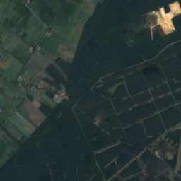
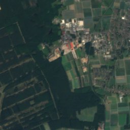
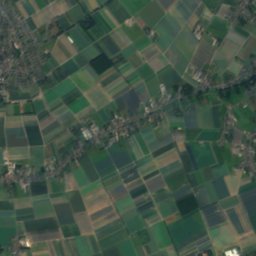
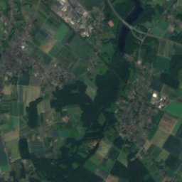
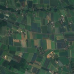
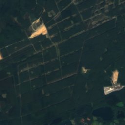
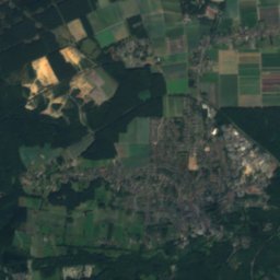
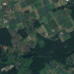
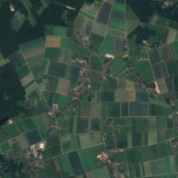
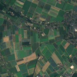
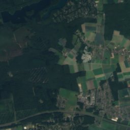
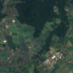
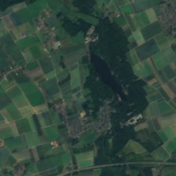
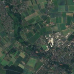
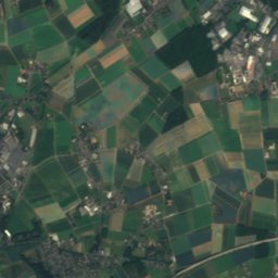
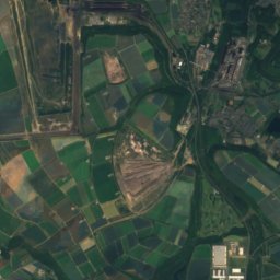
Satellite: Sentinel-2 cloudless 2016 by EOX IT Services GmbH · CC BY 4.0 · Contains modified Copernicus Sentinel data 2016
Hariksee
Lake · 45 m
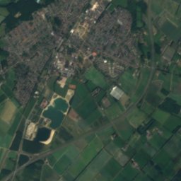
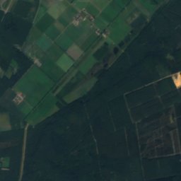
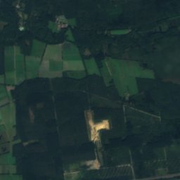
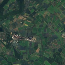
Satellite: Sentinel-2 cloudless 2016 by EOX IT Services GmbH · CC BY 4.0 · Contains modified Copernicus Sentinel data 2016
Kranenbach
River
Mountains

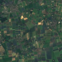
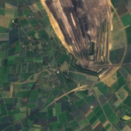
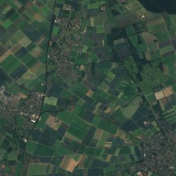
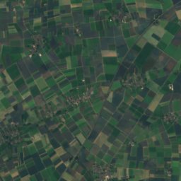
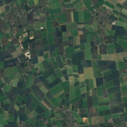
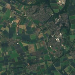
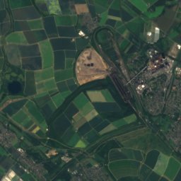
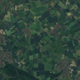
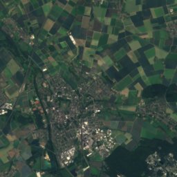
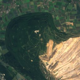
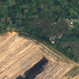
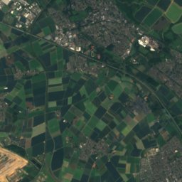
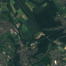
Satellite: Sentinel-2 cloudless 2016 by EOX IT Services GmbH · CC BY 4.0 · Contains modified Copernicus Sentinel data 2016
Wiedenfelder Höhe
126 m · Ville

Heritage

St. Mariae Himmelfahrt
cultural heritage monument in North Rhine-Westphalia
Satellite: Sentinel-2 cloudless 2016 by EOX IT Services GmbH · CC BY 4.0 · Contains modified Copernicus Sentinel data 2016
St. Michael's Church, Waldniel
architectural heritage monument in North Rhine-Westphalia
Satellite: Sentinel-2 cloudless 2016 by EOX IT Services GmbH · CC BY 4.0 · Contains modified Copernicus Sentinel data 2016
Saint George Church, Schwalmtal
architectural heritage monument in North Rhine-Westphalia
Museums
Satellite: Sentinel-2 cloudless 2016 by EOX IT Services GmbH · CC BY 4.0 · Contains modified Copernicus Sentinel data 2016
Abteiberg Museum
Sculpture garden · 1902


