Skip to content
Destinations
Weather & climate
Nature
Outdoors
Culture
Events
Sky & live
Thüringenhalle
Photo: Tilman2007 · CC BY-SA 4.0 · Wikimedia Commons
ThüringenhalleReport this photo · linked, not stored
New Jewish cemetery Erfurt
Photo: Foto: Störfix, Lizenz: Creative Commons by-sa 3.0 de · CC BY-SA 3.0 de · Wikimedia Commons
New Jewish cemetery ErfurtReport this photo · linked, not stored
New Jewish cemetery Erfurt
Landtag of Thuringia office block
Photo: Michael Sander · CC BY-SA 3.0 · Wikimedia Commons
Landtag of Thuringia office blockReport this photo · linked, not stored
Landtag of Thuringia office block
Bismarck Tower, Erfurt
Photo: Tilman2007 · CC BY-SA 4.0 · Wikimedia Commons
Bismarck Tower, ErfurtReport this photo · linked, not stored
Bismarck Tower, Erfurt
Lukaskirche, Erfurt
Photo: Tilman2007 · CC BY-SA 4.0 · Wikimedia Commons
Lukaskirche, ErfurtReport this photo · linked, not stored
Lukaskirche, Erfurt
sports venueErfurt, Thuringia

Thüringenhalle

Heritage monument in ThuringiaBuilt 1930
Typesports venue
Built1930by Alfred Crienitz
Best monthsJun · Aug–Sepweather in Erfurt
50.96° N, 11.04° EUTC+1 · Central European Standard Time
Standing for96 years
built 1930today 2026
When to goErfurt · weather score
JanFebMarAprMayJunJulAugSepOctNovDec47October
Best timeJun · Aug–Sep
October: high / low14° / 6°
iAbout

Thüringenhalle in brief

Thüringenhalle is a sports venue in Erfurt, Thuringia, Germany. Sports venue.

It holds the designation Heritage monument in Thuringia.

The sports venue dates from 1930 and was designed by Alfred Crienitz.

For a visit, the weather in Erfurt is best in June, August and September; in October afternoons average 14°.

Erfurt: weather and travel guide

Facts

Type
sports venue
Designation
Heritage monument in Thuringia
Built
1930
Architect
Alfred Crienitz
Nearest town
Erfurt
Region
Thuringia
Coordinates
50.95720, 11.03720
iiLocation

Where to find it

iiiWhen to visit

Weather in Erfurt

Climate guide

Month score for sightseeing

Best Jun · Aug–Sep
ivNearby

More heritage close by

All monuments in Germany
New Jewish cemetery Erfurt
Photo: Foto: Störfix, Lizenz: Creative Commons by-sa 3.0 de · CC BY-SA 3.0 de · Wikimedia CommonsReport this photo · linked, not stored

New Jewish cemetery Erfurt

under 100 m E
Heritage monument in Thuringia
New Jewish cemetery Erfurt
Landtag of Thuringia office block
Photo: Michael Sander · CC BY-SA 3.0 · Wikimedia CommonsReport this photo · linked, not stored

Landtag of Thuringia office block

0.7 km N
Kulturdenkmal
Landtag of Thuringia office block
Bismarck Tower, Erfurt
Photo: Tilman2007 · CC BY-SA 4.0 · Wikimedia CommonsReport this photo · linked, not stored

Bismarck Tower, Erfurt

0.8 km S
Heritage monument in Thuringia
Bismarck Tower, Erfurt
Lukaskirche, Erfurt
Photo: Tilman2007 · CC BY-SA 4.0 · Wikimedia CommonsReport this photo · linked, not stored

Lukaskirche, Erfurt

1.3 km NE
Heritage monument in Thuringia
Lukaskirche, Erfurt
Parkstraße 3
Photo: Elmar Nolte · CC BY-SA 4.0 · Wikimedia CommonsReport this photo · linked, not stored

Parkstraße 3

1.3 km W
Heritage monument in Thuringia
Parkstraße 3
St. Thomas' Church
Photo: ErwinMeier · CC BY-SA 4.0 · Wikimedia CommonsReport this photo · linked, not stored

St. Thomas' Church

1.3 km NW
Heritage monument in Thuringia
St. Thomas' Church
Around here

Erfurt and around

Erfurt
Photo: Steffen Prößdorf · CC BY-SA 4.0 · Wikimedia CommonsReport this photo · linked, not stored

Erfurt

Thuringia · Germany
Jun · Aug–Sepbest months
25°July high
194 maltitude
Erfurt

Nature

Apfelstädt
Photo: A.Savin · FAL · Wikimedia CommonsReport this photo · linked, not stored
7.9 km SW

Apfelstädt

River · 221 m
Apfelstädt
Wipfra
Photo: Michael Sander · CC BY-SA 3.0 · Wikimedia CommonsReport this photo · linked, not stored
10 km SW

Wipfra

River
Wipfra
Walkstrom
Photo: Michael Sander · CC BY-SA 3.0 · Wikimedia CommonsReport this photo · linked, not stored
1.5 km SW

Walkstrom

River
Walkstrom

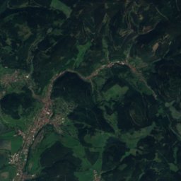
Mountains

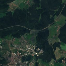
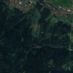
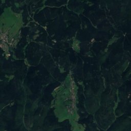
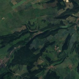
Satellite: Sentinel-2 cloudless 2016 by EOX IT Services GmbH · CC BY 4.0 · Contains modified Copernicus Sentinel data 2016
40 km SW

Sachsenstein

915 m · Thuringian Forest
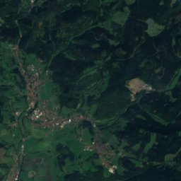
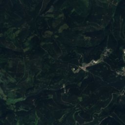
Sachsenstein
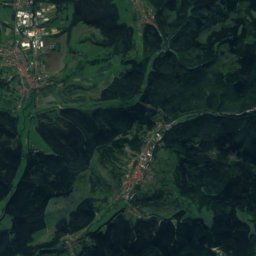
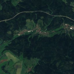
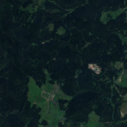
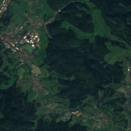
Satellite: Sentinel-2 cloudless 2016 by EOX IT Services GmbH · CC BY 4.0 · Contains modified Copernicus Sentinel data 2016
39 km SW

Pfanntalskopf

868 m · Thuringian Forest
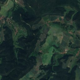
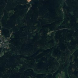
Pfanntalskopf
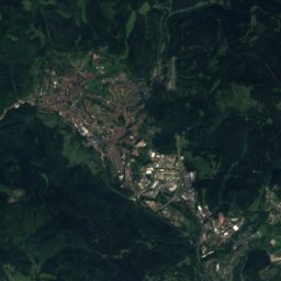
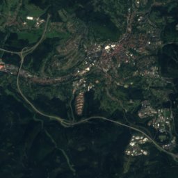
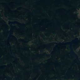
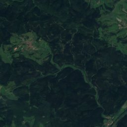
Satellite: Sentinel-2 cloudless 2016 by EOX IT Services GmbH · CC BY 4.0 · Contains modified Copernicus Sentinel data 2016
36 km S

Kickelhahn

861 m · Thuringian Forest
Kickelhahn

Heritage

Old Synagogue (Erfurt)
Photo: © Heinrich Stürzl / Wikimedia Commons · CC BY-SA 4.0 · Wikimedia CommonsReport this photo · linked, not stored
0.5 km W

Old Synagogue (Erfurt)

Tentative World Heritage Site · 1094
Old Synagogue (Erfurt)
Preacher's Church
Photo: Nilaxus · CC BY-SA 4.0 · Wikimedia CommonsReport this photo · linked, not stored
0.4 km W

Preacher's Church

Heritage monument in Thuringia · 1201
Preacher's Church
Erfurt Cathedral
Photo: User:MatthiasKabel · CC BY-SA 3.0 · Wikimedia CommonsReport this photo · linked, not stored
0.8 km W

Erfurt Cathedral

Heritage monument in Thuringia · 1154
Erfurt Cathedral

Museums

Angermuseum
Photo: Michael Sander · CC BY-SA 3.0 · Wikimedia CommonsReport this photo · linked, not stored
0.2 km SW

Angermuseum

Art museum · 1886
Angermuseum
Natural History Museum of Erfurt
Photo: I, JFKCom · CC BY 2.5 · Wikimedia CommonsReport this photo · linked, not stored
0.6 km W

Natural History Museum of Erfurt

Natural history museum
Natural History Museum of Erfurt
Memorial and Education Centre Andreasstrasse
Photo: Giorno2 · CC BY-SA 3.0 · Wikimedia CommonsReport this photo · linked, not stored
0.8 km W

Memorial and Education Centre Andreasstrasse

Memorial and Education Centre Andreasstrasse