

Photo: Friedrich Schiller Archiv / Foto: Andreas Fiedler · CC BY-SA 3.0 · Wikimedia Commons
Teahouse in the park of Schloss TiefurtReport this photo · linked, not stored
Teahouse in the park of Schloss TiefurtTeahouse in the park of Schloss TiefurtReport this photo · linked, not stored

Photo: Felix König · CC BY 3.0 · Wikimedia Commons
Tiefurt HouseReport this photo · linked, not stored
Tiefurt HouseTiefurt HouseReport this photo · linked, not stored

Photo: Jwaller · CC BY-SA 3.0 · Wikimedia Commons
Church St. ChristophorusReport this photo · linked, not stored
Church St. ChristophorusChurch St. ChristophorusReport this photo · linked, not stored

Photo: Giorno2 · CC BY-SA 4.0 · Wikimedia Commons
bridge TiefurtReport this photo · linked, not stored
bridge Tiefurtbridge TiefurtReport this photo · linked, not stored
built structureKromsdorf, Thuringia
Tempel
Kulturdenkmal
Typebuilt structure
Built–
Best monthsMay–Jun · Sepweather in Kromsdorf
50.99° N, 11.37° EUTC+2 · Central European Summer Time
When to goKromsdorf · weather score
Best timeMay–Jun · Sep
October: high / low14° / 6°
iAbout
Tempel in brief
Tempel is a built structure in Kromsdorf, Thuringia, Germany.
It holds the designation Kulturdenkmal.
For a visit, the weather in Kromsdorf is best in May, June and September; in October afternoons average 14°.
iiLocation
Where to find it
iiiWhen to visit
Climate guideWeather in Kromsdorf
Month score for sightseeing
Best May–Jun · Sep18
Jan
27
Feb
25
Mar
59
Apr
69
May
70
Jun
65
Jul
69
Aug
74
Sep
49
Oct
23
Nov
16
Dec
ivNearby
All monuments in GermanyMore heritage close by



Satellite: Sentinel-2 cloudless 2016 by EOX IT Services GmbH · CC BY 4.0 · Contains modified Copernicus Sentinel data 2016
Vergilgrotte Tiefurt
0.1 km N
Kulturdenkmal
Photo: Friedrich Schiller Archiv / Foto: Andreas Fiedler · CC BY-SA 3.0 · Wikimedia CommonsReport this photo · linked, not stored
Teahouse in the park of Schloss Tiefurt
0.1 km SW
Kulturdenkmal
Satellite: Sentinel-2 cloudless 2016 by EOX IT Services GmbH · CC BY 4.0 · Contains modified Copernicus Sentinel data 2016
Mühle in Tiefurt
0.4 km SW
Heritage monument in Thuringia
Around here
Kromsdorf and around
Nature


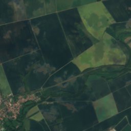
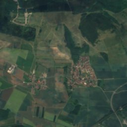
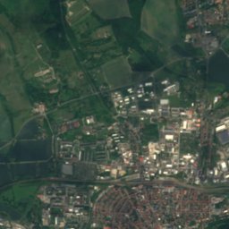
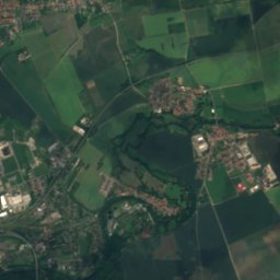
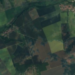
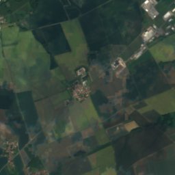
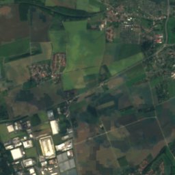
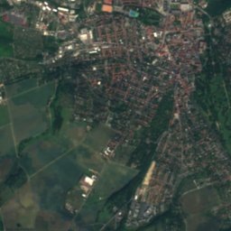
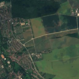
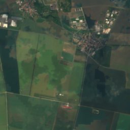
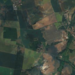
Satellite: Sentinel-2 cloudless 2016 by EOX IT Services GmbH · CC BY 4.0 · Contains modified Copernicus Sentinel data 2016
Vergilgrotte Tiefurt
Cave
Mountains

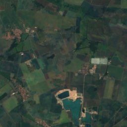
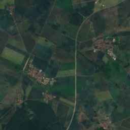
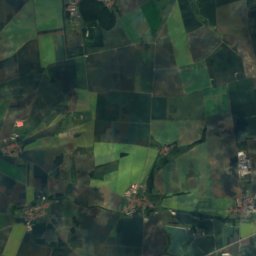
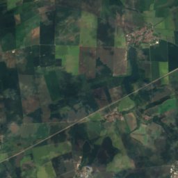
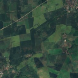
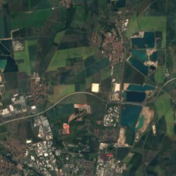
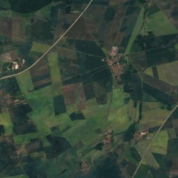
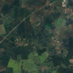
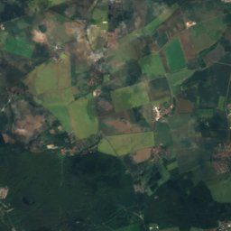
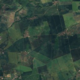
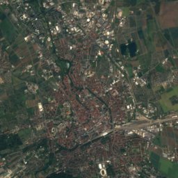
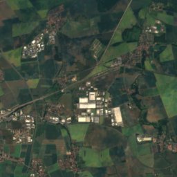
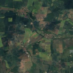
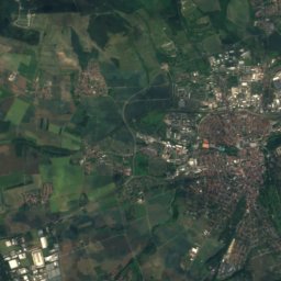
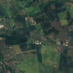
Satellite: Sentinel-2 cloudless 2016 by EOX IT Services GmbH · CC BY 4.0 · Contains modified Copernicus Sentinel data 2016
Großer Ettersberg
482 m · Ettersberg

Heritage


Photo: BrThomas at de.wikipedia · CC BY-SA 3.0 · Wikimedia CommonsReport this photo · linked, not stored
Stephanuskirche Schöndorf
Heritage monument in Thuringia
Museums

Photo: © Steffen Schmitz (Carschten) / Wikimedia Commons / CC BY-SA 4.0 · CC BY-SA 4.0 · Wikimedia CommonsReport this photo · linked, not stored
Bauhaus Museum, Weimar
Art museum · 1995


