












































Satellite: Sentinel-2 cloudless 2016 by EOX IT Services GmbH · CC BY 4.0 · Contains modified Copernicus Sentinel data 2016

Photo: Gerd Fahrenhorst · CC BY 4.0 · Wikimedia Commons
Am Markt 4, Königslutter am ElmReport this photo · linked, not stored
Am Markt 4, Königslutter am ElmAm Markt 4, Königslutter am ElmReport this photo · linked, not stored

Photo: I, ArtMechanic · CC BY-SA 3.0 · Wikimedia Commons
Imperial cathedral of KönigslutterReport this photo · linked, not stored
Imperial cathedral of KönigslutterImperial cathedral of KönigslutterReport this photo · linked, not stored

Photo: TeWeBs · CC BY 3.0 · Wikimedia Commons
Christophoruskirche, Bornum am ElmReport this photo · linked, not stored
Christophoruskirche, Bornum am ElmChristophoruskirche, Bornum am ElmReport this photo · linked, not stored
 Kapelle Beienrode
churchKönigslutter am Elm, Lower Saxony
Stadtkirche Königslutter
architectural heritage monument in Lower Saxony
Typechurch
Built–
Best monthsMay–Jun · Sepweather in Königslutter am Elm
52.25° N, 10.82° EUTC+1 · Central European Standard Time
When to goKönigslutter am Elm · weather score
Best timeMay–Jun · Sep
October: high / low14° / 6°
iAbout
Stadtkirche Königslutter in brief
Stadtkirche Königslutter is a church in Königslutter am Elm, Lower Saxony, Germany.
It holds the designation architectural heritage monument in Lower Saxony.
For a visit, the weather in Königslutter am Elm is best in May, June and September; in October afternoons average 14°.
Facts
- Type
- church
- Designation
- architectural heritage monument in Lower Saxony
- Nearest town
- Königslutter am Elm
- Region
- Lower Saxony
- Coordinates
- 52.25220, 10.81760
iiLocation
Where to find it
ivNearby
All monuments in GermanyMore heritage close by
Am Markt 4, Königslutter am Elm
under 100 m S
cultural heritage monument in Lower Saxony
Imperial cathedral of Königslutter
0.8 km S
architectural heritage monument in Lower Saxony
Christophoruskirche, Bornum am Elm
4.5 km W
architectural heritage monument in Lower Saxony

Around here
Königslutter am Elm and around
Königslutter am Elm
Lower Saxony · Germany
May–Jun · Sepbest months
25°July high
136 maltitude
Nature

Photo: © Freak-Line-Community / Wikimedia Commons · CC BY-SA 3.0 · Wikimedia CommonsReport this photo · linked, not stored
Lutter (Schunter)
River



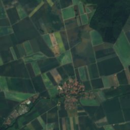
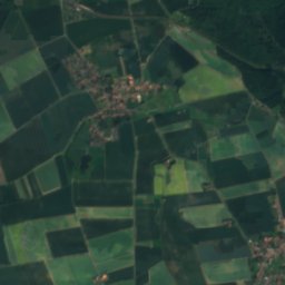




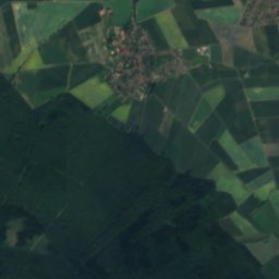


Satellite: Sentinel-2 cloudless 2016 by EOX IT Services GmbH · CC BY 4.0 · Contains modified Copernicus Sentinel data 2016
Altenau, Lower Saxony
River

Mountains


Heritage










Satellite: Sentinel-2 cloudless 2016 by EOX IT Services GmbH · CC BY 4.0 · Contains modified Copernicus Sentinel data 2016
Imperial cathedral of Königslutter
architectural heritage monument in Lower Saxony
Am Markt 4, Königslutter am Elm
cultural heritage monument in Lower Saxony

Holy Cross Church, Lehre
architectural heritage monument in Lower Saxony · 1201
Museums

Satellite: Sentinel-2 cloudless 2016 by EOX IT Services GmbH · CC BY 4.0 · Contains modified Copernicus Sentinel data 2016
Museum mechanischer Musikinstrumente











Satellite: Sentinel-2 cloudless 2016 by EOX IT Services GmbH · CC BY 4.0 · Contains modified Copernicus Sentinel data 2016


