Satellite: Sentinel-2 cloudless 2016 by EOX IT Services GmbH · CC BY 4.0 · Contains modified Copernicus Sentinel data 2016

Photo: Olaf Meister · CC BY-SA 3.0 · Wikimedia Commons
Kriegerdenkmal CalenbergeReport this photo · linked, not stored
Kriegerdenkmal CalenbergeKriegerdenkmal CalenbergeReport this photo · linked, not stored

Photo: Olaf2 (de:Bild:Schloß Randau Vorderseite.JPG), improved by Hvrandow · CC BY-SA 3.0 · Wikimedia Commons
Schloss RandauReport this photo · linked, not stored
Schloss RandauSchloss RandauReport this photo · linked, not stored

Photo: Radionaut · CC BY-SA 3.0 · Wikimedia Commons
Protestant Church ElbenauReport this photo · linked, not stored
Protestant Church ElbenauProtestant Church ElbenauReport this photo · linked, not stored

Photo: Olaf Meister · CC BY-SA 4.0 · Wikimedia Commons
Breite Straße 15Report this photo · linked, not stored
Breite Straße 15Breite Straße 15Report this photo · linked, not stored
churchPlötzky, Saxony-Anhalt
St. Georg, Plötzky
Kulturdenkmal
TypechurchRomanesque Revival
Built–
Best monthsMay–Jun · Sepweather in Plötzky
52.06° N, 11.74° EUTC+2 · Central European Summer Time
When to goPlötzky · weather score
Best timeMay–Jun · Sep
October: high / low15° / 6°
iAbout
St. Georg, Plötzky in brief
St. Georg, Plötzky is a church in Plötzky, Saxony-Anhalt, Germany.
It holds the designation Kulturdenkmal.
The church is built in the Romanesque Revival style.
For a visit, the weather in Plötzky is best in May, June and September; in October afternoons average 15°.
Facts
- Type
- church
- Designation
- Kulturdenkmal
- Style
- Romanesque Revival
- Nearest town
- Plötzky
- Region
- Saxony-Anhalt
- Coordinates
- 52.06397, 11.74109
iiLocation
Where to find it
iiiWhen to visit
Climate guideWeather in Plötzky
Month score for sightseeing
Best May–Jun · Sep16
Jan
25
Feb
25
Mar
63
Apr
71
May
69
Jun
62
Jul
67
Aug
74
Sep
50
Oct
21
Nov
16
Dec
ivNearby
All monuments in GermanyMore heritage close by
Satellite: Sentinel-2 cloudless 2016 by EOX IT Services GmbH · CC BY 4.0 · Contains modified Copernicus Sentinel data 2016
St. Sophie
1.1 km W
Kulturdenkmal
Photo: Olaf2 (de:Bild:Schloß Randau Vorderseite.JPG), improved by Hvrandow · CC BY-SA 3.0 · Wikimedia CommonsReport this photo · linked, not stored
Schloss Randau
1.1 km SW
Kulturdenkmal

Around here
Plötzky and around
Nature

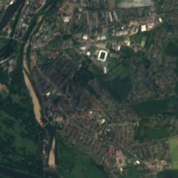
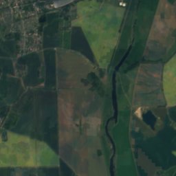
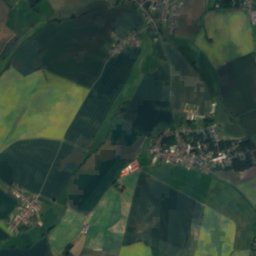
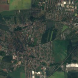
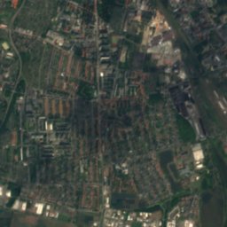
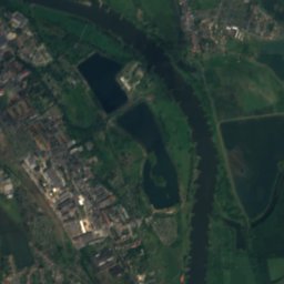
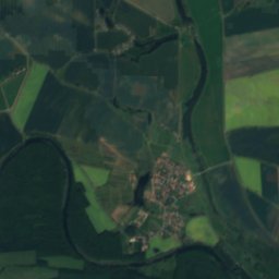
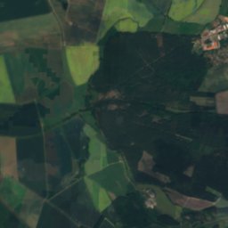
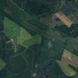
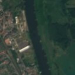
Satellite: Sentinel-2 cloudless 2016 by EOX IT Services GmbH · CC BY 4.0 · Contains modified Copernicus Sentinel data 2016
Sülze, Saxony-Anhalt
River
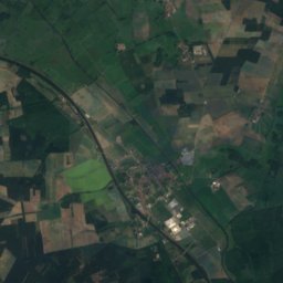
Satellite: Sentinel-2 cloudless 2016 by EOX IT Services GmbH · CC BY 4.0 · Contains modified Copernicus Sentinel data 2016
Alte Elbe, Gübs
River
Mountains

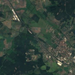
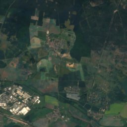
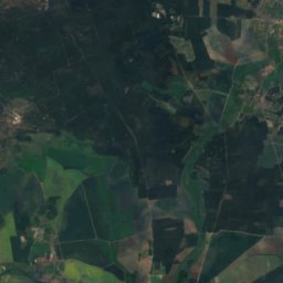
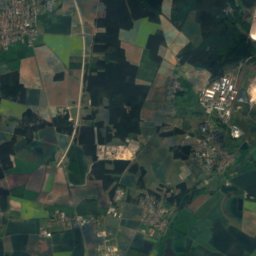
Satellite: Sentinel-2 cloudless 2016 by EOX IT Services GmbH · CC BY 4.0 · Contains modified Copernicus Sentinel data 2016
Zackelberg
139 m

Heritage
Satellite: Sentinel-2 cloudless 2016 by EOX IT Services GmbH · CC BY 4.0 · Contains modified Copernicus Sentinel data 2016
Protestant Church Elbenau
Kulturdenkmal

Photo: DorisAntony at German Wikipedia · CC BY-SA 3.0 · Wikimedia CommonsReport this photo · linked, not stored
St. Thomas (Pretzien)
heritage monument in Saxony-Anhalt

Museums


Photo: Kreuz und quer durch deutschland · CC BY-SA 4.0 · Wikimedia CommonsReport this photo · linked, not stored


