

Photo: --Xocolatl 17:03, 2 December 2007 (UTC) · Public domain · Wikimedia Commons
Becelaere-KaserneReport this photo · linked, not stored
Becelaere-KaserneBecelaere-KaserneReport this photo · linked, not stored

Photo: Xocolatl (talk) 19:41, 18 June 2011 (UTC) · CC0 · Wikimedia Commons
Mülbergerstraße 180 (Esslingen)Report this photo · linked, not stored
Mülbergerstraße 180 (Esslingen)Mülbergerstraße 180 (Esslingen)Report this photo · linked, not stored

Photo: Xocolatl (talk) 21:35, 3 September 2011 (UTC) · CC0 · Wikimedia Commons
LandolinshofReport this photo · linked, not stored
LandolinshofLandolinshofReport this photo · linked, not stored

Photo: Xocolatl (talk) 21:25, 3 September 2011 (UTC) · CC0 · Wikimedia Commons
Glasdachfabrik EberspächerReport this photo · linked, not stored
Glasdachfabrik EberspächerGlasdachfabrik EberspächerReport this photo · linked, not stored
churchAltbach, Baden-Wurttemberg
St. Bernhardt
cultural heritage monument in Baden-WürttembergBuilt 1774
Typechurch
Built1774
Best monthsMay–Jun · Sepweather in Altbach
48.75° N, 9.32° EUTC+2 · Central European Summer Time
Standing for252 years
built 1774today 2026
When to goAltbach · weather score
Best timeMay–Jun · Sep
October: high / low16° / 6°
iAbout
St. Bernhardt in brief
St. Bernhardt is a church in Altbach, Baden-Wurttemberg, Germany.
It holds the designation cultural heritage monument in Baden-Württemberg.
The church dates from 1774.
For a visit, the weather in Altbach is best in May, June and September; in October afternoons average 16°.
Facts
- Type
- church
- Designation
- cultural heritage monument in Baden-Württemberg
- Built
- 1774
- Nearest town
- Altbach
- Region
- Baden-Wurttemberg
- Coordinates
- 48.74862, 9.31728
iiLocation
Where to find it
iiiWhen to visit
Climate guideWeather in Altbach
Month score for sightseeing
Best May–Jun · Sep19
Jan
26
Feb
34
Mar
62
Apr
63
May
65
Jun
63
Jul
63
Aug
73
Sep
53
Oct
24
Nov
16
Dec
ivNearby
All monuments in GermanyMore heritage close by

Photo: --Xocolatl 17:03, 2 December 2007 (UTC) · Public domain · Wikimedia CommonsReport this photo · linked, not stored
Becelaere-Kaserne
0.3 km NW
Kulturdenkmal
Photo: Xocolatl (talk) 19:41, 18 June 2011 (UTC) · CC0 · Wikimedia CommonsReport this photo · linked, not stored
Mülbergerstraße 180 (Esslingen)
0.4 km W
Kulturdenkmal
Satellite: Sentinel-2 cloudless 2016 by EOX IT Services GmbH · CC BY 4.0 · Contains modified Copernicus Sentinel data 2016
Schloss Hohenkreuz
0.5 km NW
cultural heritage monument in Baden-Württemberg
Photo: Xocolatl (talk) 21:35, 3 September 2011 (UTC) · CC0 · Wikimedia CommonsReport this photo · linked, not stored
Landolinshof
0.8 km SW
Kulturdenkmal
Photo: Xocolatl (talk) 21:25, 3 September 2011 (UTC) · CC0 · Wikimedia CommonsReport this photo · linked, not stored
Glasdachfabrik Eberspächer
0.8 km SW
Kulturdenkmal

Photo: Xocolatl (talk) 21:42, 3 September 2011 (UTC) · CC0 · Wikimedia CommonsReport this photo · linked, not stored
Augustinerstraße 8
0.8 km SW
Kulturdenkmal
Around here
Altbach and around

Photo: --Xocolatl 11:58, 14 January 2007 (UTC) · Public domain · Wikimedia CommonsReport this photo · linked, not stored
Altbach
Baden-Wurttemberg · Germany
May–Jun · Sepbest months
26°July high
247 maltitude
Nature


Photo: © Freak-Line-Community / Wikimedia Commons · CC BY-SA 3.0 · Wikimedia CommonsReport this photo · linked, not stored
Lauter (Neckar)
River
Mountains
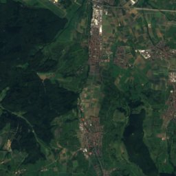
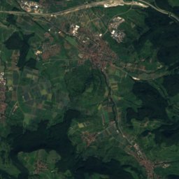
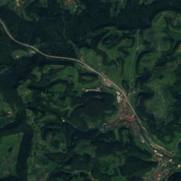
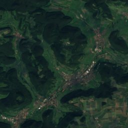
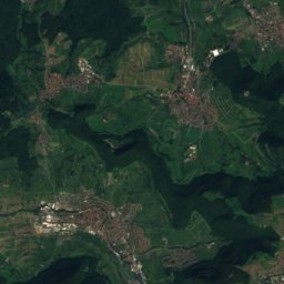
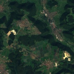
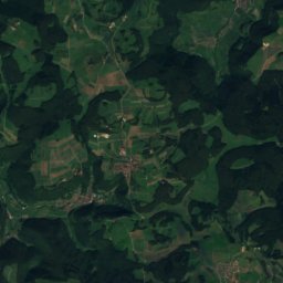
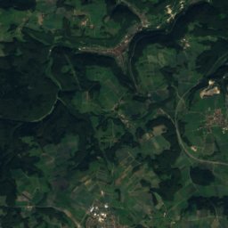
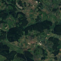
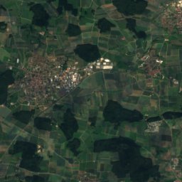
Satellite: Sentinel-2 cloudless 2016 by EOX IT Services GmbH · CC BY 4.0 · Contains modified Copernicus Sentinel data 2016
Römerstein (mountain)
874 m · Swabian Jura


Heritage

Evangelische Kirche, Deizisau
cultural heritage monument in Baden-Württemberg

Fernsehturm Stuttgart
cultural heritage monument of special significance in Baden-Württemberg · 1956

Stadtkirche St. Laurentius, Nürtingen
cultural heritage monument in Baden-Württemberg · 1488
Museums


Photo: --Xocolatl 21:45, 13 September 2006 (UTC) · Public domain · Wikimedia CommonsReport this photo · linked, not stored
Sammlung Domnick Nürtingen
Sculpture garden · 1967


