Skip to content
Destinations
Weather & climate
Nature
Outdoors
Culture
Events
Sky & live
Spalter Tor
Photo: Renardo la vulpo · CC BY-SA 4.0 · Wikimedia Commons
Spalter TorReport this photo · linked, not stored
Rathaus, Pleinfeld
Photo: Zinnmann · CC BY 3.0 · Wikimedia Commons
Rathaus, PleinfeldReport this photo · linked, not stored
Rathaus, Pleinfeld
City walls of Pleinfeld
Photo: Tilman2007 · CC BY-SA 3.0 · Wikimedia Commons
City walls of PleinfeldReport this photo · linked, not stored
City walls of Pleinfeld
Haus Marktplatz 4
Photo: G8w · CC BY-SA 3.0 · Wikimedia Commons
Haus Marktplatz 4Report this photo · linked, not stored
Haus Marktplatz 4
St. Petrus, Pleinfeld
Photo: mef.ellingen · CC BY-SA 3.0 · Wikimedia Commons
St. Petrus, PleinfeldReport this photo · linked, not stored
St. Petrus, Pleinfeld
timber-framed housePleinfeld, Bavaria

Spalter Tor

architectural heritage monument in BavariaBuilt 1568
Typetimber-framed house
Built1568
Best monthsJun · Aug–Sepweather in Pleinfeld
49.11° N, 10.98° EUTC+1 · Central European Standard Time
Standing for458 years
built 1568today 2026
When to goPleinfeld · weather score
JanFebMarAprMayJunJulAugSepOctNovDec46October
Best timeJun · Aug–Sep
October: high / low14° / 5°
iAbout

Spalter Tor in brief

Spalter Tor is a timber-framed house in Pleinfeld, Bavaria, Germany.

It holds the designation architectural heritage monument in Bavaria.

The timber-framed house dates from 1568.

For a visit, the weather in Pleinfeld is best in June, August and September; in October afternoons average 14°.

Pleinfeld: weather and travel guide

Facts

Type
timber-framed house
Designation
architectural heritage monument in Bavaria
Built
1568
Nearest town
Pleinfeld
Region
Bavaria
Coordinates
49.10600, 10.98440
iiLocation

Where to find it

iiiWhen to visit

Weather in Pleinfeld

Climate guide

Month score for sightseeing

Best Jun · Aug–Sep
20
Jan
29
Feb
27
Mar
59
Apr
65
May
67
Jun
66
Jul
70
Aug
74
Sep
46
Oct
25
Nov
17
Dec
ivNearby

More heritage close by

All monuments in Germany
Rathaus, Pleinfeld
Photo: Zinnmann · CC BY 3.0 · Wikimedia CommonsReport this photo · linked, not stored

Rathaus, Pleinfeld

under 100 m S
architectural heritage monument in Bavaria
Rathaus, Pleinfeld
City walls of Pleinfeld
Photo: Tilman2007 · CC BY-SA 3.0 · Wikimedia CommonsReport this photo · linked, not stored

City walls of Pleinfeld

under 100 m S
architectural heritage monument in Bavaria
City walls of Pleinfeld
Haus Marktplatz 4
Photo: G8w · CC BY-SA 3.0 · Wikimedia CommonsReport this photo · linked, not stored

Haus Marktplatz 4

under 100 m SE
architectural heritage monument in Bavaria
Haus Marktplatz 4
St. Petrus, Pleinfeld
Photo: mef.ellingen · CC BY-SA 3.0 · Wikimedia CommonsReport this photo · linked, not stored

St. Petrus, Pleinfeld

under 100 m NW
architectural heritage monument in Bavaria
St. Petrus, Pleinfeld
Kapelle der Sieben Schmerzens Mariens
Photo: Bodo Kubrak · CC BY-SA 4.0 · Wikimedia CommonsReport this photo · linked, not stored

Kapelle der Sieben Schmerzens Mariens

0.1 km N
architectural heritage monument in Bavaria
Kapelle der Sieben Schmerzens Mariens
St. Nikolaus, Pleinfeld
Photo: Reinhardhauke · CC BY-SA 3.0 · Wikimedia CommonsReport this photo · linked, not stored

St. Nikolaus, Pleinfeld

0.1 km E
architectural heritage monument in Bavaria
St. Nikolaus, Pleinfeld
Around here

Pleinfeld and around

Pleinfeld
Photo: Zinnmann · CC BY 3.0 · Wikimedia CommonsReport this photo · linked, not stored

Pleinfeld

Bavaria · Germany
Jun · Aug–Sepbest months
25°July high
385 maltitude
Pleinfeld

Nature

Franconian Rezat
Photo: AlexanderRahm · CC BY 3.0 · Wikimedia CommonsReport this photo · linked, not stored
9.7 km N

Franconian Rezat

River · 343 m
Franconian Rezat
Großer Brombachsee
Photo: Carsten Steger · CC BY-SA 4.0 · Wikimedia CommonsReport this photo · linked, not stored
4.5 km NW

Großer Brombachsee

Lake · 407 m
Großer Brombachsee
Brombach
Photo: Siegmar S. · CC BY-SA 3.0 · Wikimedia CommonsReport this photo · linked, not stored
2.6 km NE

Brombach

River · 365 m
Brombach

Mountains

Dürrenberg
Photo: Mariuszxyz · CC BY-SA 4.0 · Wikimedia CommonsReport this photo · linked, not stored
19 km SW

Dürrenberg

656 m · Franconian Jura
Dürrenberg
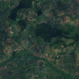
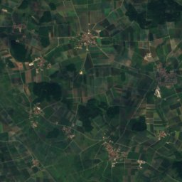
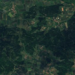
Satellite: Sentinel-2 cloudless 2016 by EOX IT Services GmbH · CC BY 4.0 · Contains modified Copernicus Sentinel data 2016
21 km SW

Efferaberg

645 m · Hahnenkamm
Efferaberg
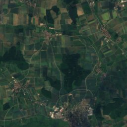
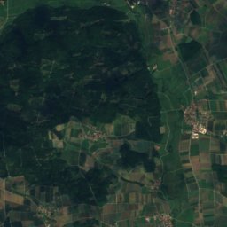
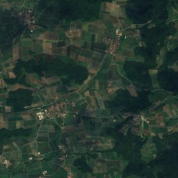
Satellite: Sentinel-2 cloudless 2016 by EOX IT Services GmbH · CC BY 4.0 · Contains modified Copernicus Sentinel data 2016
20 km W

Spielberg, Bavaria

645 m · Hahnenkamm
Spielberg, Bavaria

Heritage

St. Petrus, Pleinfeld
Photo: mef.ellingen · CC BY-SA 3.0 · Wikimedia CommonsReport this photo · linked, not stored
0.2 km NE

St. Petrus, Pleinfeld

architectural heritage monument in Bavaria
St. Petrus, Pleinfeld
St. Nikolaus, Pleinfeld
Photo: Reinhardhauke · CC BY-SA 3.0 · Wikimedia CommonsReport this photo · linked, not stored
0.4 km NE

St. Nikolaus, Pleinfeld

architectural heritage monument in Bavaria
St. Nikolaus, Pleinfeld
Rezatbrücke
Photo: G8w · CC BY-SA 3.0 · Wikimedia CommonsReport this photo · linked, not stored
0.4 km E

Rezatbrücke

architectural heritage monument in Bavaria · 1695
Rezatbrücke

Museums

Heimat- und Brauereimuseum
Photo: Mef.ellingen · CC BY 3.0 · Wikimedia CommonsReport this photo · linked, not stored
0.4 km NE

Heimat- und Brauereimuseum

Local museum · 1984
Heimat- und Brauereimuseum
Roman thermal bath
Photo: Burkhard Mücke · CC BY-SA 4.0 · Wikimedia CommonsReport this photo · linked, not stored
8.4 km S

Roman thermal bath

Archaeological museum
Roman thermal bath
Cultural Center East Prussia
Photo: Mef.ellingen · CC BY-SA 3.0 · Wikimedia CommonsReport this photo · linked, not stored
5.0 km S

Cultural Center East Prussia

Museum of culture · 1981
Cultural Center East Prussia