
Photo: Diego Delso · CC BY-SA 3.0 · Wikimedia Commons
Sendlinger TorReport this photo · linked, not stored
Sendlinger TorReport this photo · linked, not stored

Photo: Rufus46 · CC BY-SA 3.0 · Wikimedia Commons
Sendlinger Straße 56Report this photo · linked, not stored
Sendlinger Straße 56Sendlinger Straße 56Report this photo · linked, not stored

Photo: Rufus46 · CC BY-SA 3.0 · Wikimedia Commons
Neues LandschaftsgebäudeReport this photo · linked, not stored
Neues LandschaftsgebäudeNeues LandschaftsgebäudeReport this photo · linked, not stored

Photo: User:Mattes · Public domain · Wikimedia Commons
AsamhausReport this photo · linked, not stored
AsamhausAsamhausReport this photo · linked, not stored

Photo: tk · CC BY-SA 3.0 · Wikimedia Commons
Kreuzkirche, MunichReport this photo · linked, not stored
Kreuzkirche, MunichKreuzkirche, MunichReport this photo · linked, not stored
gate towerMunich, Bavaria
Sendlinger Tor
architectural heritage monument in BavariaBuilt 1308
Typegate tower
Built1308by Arnold Zenetti, Wilhelm Bertsch
Best monthsJul–Sepweather in Munich
48.13° N, 11.57° EUTC+2 · Central European Summer Time
Standing for718 years
built 1308today 2026
When to goMunich · weather score
Best timeJul–Sep
October: high / low14° / 5°
iAbout
Sendlinger Tor in brief
Sendlinger Tor is a gate tower in Munich, Bavaria, Germany.
It holds the designation architectural heritage monument in Bavaria.
The gate tower dates from 1308 and was designed by Arnold Zenetti, Wilhelm Bertsch.
For a visit, the weather in Munich is best in July, August and September; in October afternoons average 14°.
iiLocation
Where to find it
ivNearby
All monuments in GermanyMore heritage close by

Photo: Wikiolo, derivative work Lämpel · CC BY-SA 4.0 · Wikimedia CommonsReport this photo · linked, not stored
Asam Church
0.2 km NE
architectural heritage monument in Bavaria

Around here
Munich and around

Photo: Thomas Wolf, www.foto-tw.de · CC BY-SA 3.0 de · Wikimedia CommonsReport this photo · linked, not stored
Munich
Bavaria · Germany
Jul–Sepbest months
24°July high
524 maltitude
Nature


Mountains

Photo: Gras-Ober, Wikipedia/Wikimedia Commons (cc-by-sa-3.0) · CC BY-SA 3.0 · Wikimedia CommonsReport this photo · linked, not stored
Taubenberg
896 m · Southern Alpine Foreland
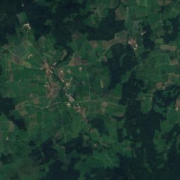
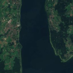
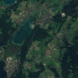
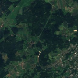
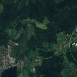
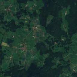
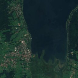
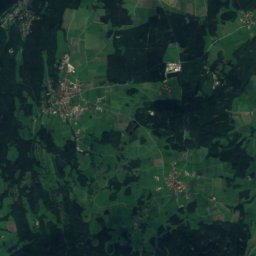
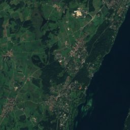
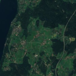
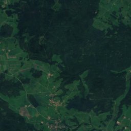
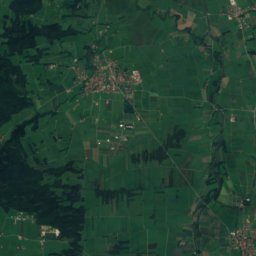
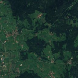
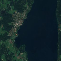
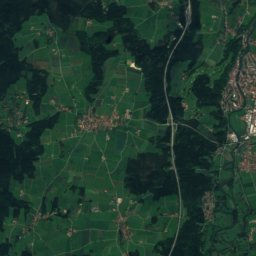
Satellite: Sentinel-2 cloudless 2016 by EOX IT Services GmbH · CC BY 4.0 · Contains modified Copernicus Sentinel data 2016
Berndorfer Buchet
760 m

Photo: Gras-Ober, Wikipedia/Wikimedia Commons (cc-by-sa-3.0) · CC BY-SA 3.0 · Wikimedia CommonsReport this photo · linked, not stored
Ilkahöhe
726 m
Heritage


New Town Hall, Munich
architectural heritage monument in Bavaria · 1909

Museums

Photo: Photo: Andreas Praefcke · CC BY 3.0 · Wikimedia CommonsReport this photo · linked, not stored
Alte Pinakothek
Art museum · 1836


