


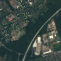









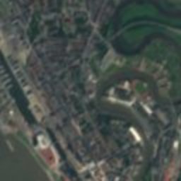


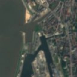

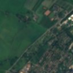
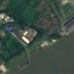
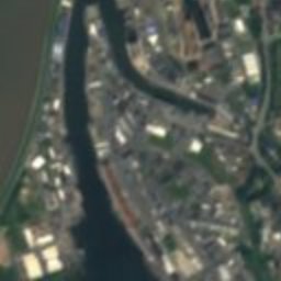
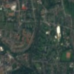

Satellite: Sentinel-2 cloudless 2016 by EOX IT Services GmbH · CC BY 4.0 · Contains modified Copernicus Sentinel data 2016

Photo: Mueck (talk) · CC BY-SA 3.0 · Wikimedia Commons
Bürgermeister-Smidt-Straße 120Report this photo · linked, not stored
Bürgermeister-Smidt-Straße 120Bürgermeister-Smidt-Straße 120Report this photo · linked, not stored

Photo: Dr. Bernd Gross Derivative work MagentaGreen · CC BY-SA 3.0 · Wikimedia Commons
Schulschiff DeutschlandReport this photo · linked, not stored
Schulschiff DeutschlandSchulschiff DeutschlandReport this photo · linked, not stored

Photo: Mueck (talk) · CC BY-SA 3.0 · Wikimedia Commons
Wohnanlage und Ladenzeile Lloydstraße18Report this photo · linked, not stored
Wohnanlage und Ladenzeile Lloydstraße18Wohnanlage und Ladenzeile Lloydstraße18Report this photo · linked, not stored

Photo: Mueck (talk) · CC BY-SA 3.0 · Wikimedia Commons
Bürgermeister-Smidt-Straße 162Report this photo · linked, not stored
Bürgermeister-Smidt-Straße 162Bürgermeister-Smidt-Straße 162Report this photo · linked, not stored
buildingBremerhaven, Bremen
Seemannsamt
protected cultural heritage monument in Bremen (state)
Typebuilding
Built–
Best monthsMay–Julweather in Bremerhaven
53.55° N, 8.57° EUTC+1 · Central European Standard Time
When to goBremerhaven · weather score
Best timeMay–Jul
October: high / low14° / 8°
iAbout
Seemannsamt in brief
Seemannsamt is a building in Bremerhaven, Bremen, Germany.
It holds the designation protected cultural heritage monument in Bremen (state).
For a visit, the weather in Bremerhaven is best in May, June and July; in October afternoons average 14°.
Facts
- Type
- building
- Designation
- protected cultural heritage monument in Bremen (state)
- Nearest town
- Bremerhaven
- Region
- Bremen
- Coordinates
- 53.54857, 8.57262
iiLocation
Where to find it
ivNearby
All monuments in GermanyMore heritage close by
Bürgermeister-Smidt-Straße 120
0.1 km SE
protected cultural heritage monument in Bremen (state)
Photo: Dr. Bernd Gross Derivative work MagentaGreen · CC BY-SA 3.0 · Wikimedia CommonsReport this photo · linked, not stored
Schulschiff Deutschland
0.2 km S
protected cultural heritage monument in Bremen (state)
Wohnanlage und Ladenzeile Lloydstraße18
0.2 km E
cultural heritage ensemble
Bürgermeister-Smidt-Straße 162
0.3 km N
protected cultural heritage monument in Bremen (state)

Bremerhaven lighthouse
0.3 km SW
protected cultural heritage monument in Bremen (state)

Kreuzkirche, Bremerhaven
0.3 km N
protected cultural heritage monument in Bremen (state)
Around here
Bremerhaven and around

Photo: Tuxyso / Wikimedia Commons · CC BY-SA 3.0 · Wikimedia CommonsReport this photo · linked, not stored
Bremerhaven
Bremen · Germany
May–Julbest months
22°July high
2 maltitude
Nature

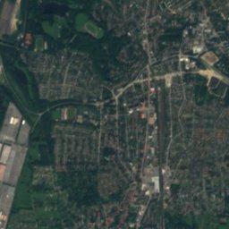
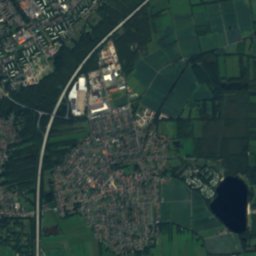
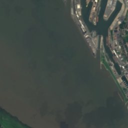
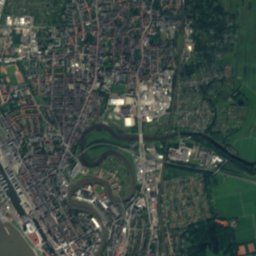
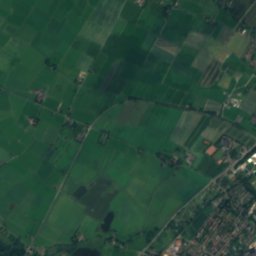
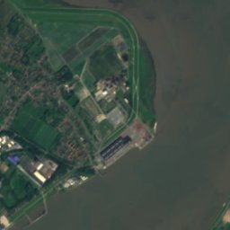
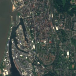
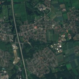
Satellite: Sentinel-2 cloudless 2016 by EOX IT Services GmbH · CC BY 4.0 · Contains modified Copernicus Sentinel data 2016
Geeste
River

Photo: Ra Boe / Wikipedia · CC BY-SA 3.0 de · Wikimedia CommonsReport this photo · linked, not stored
Apeler See
Lake · -3 m

Mountains

Heritage

Herz-Jesu-Kirche (Bremerhaven-Lehe)
protected cultural heritage monument in Bremen (state)

Bürgermeister-Smidt-Gedächtniskirche
protected cultural heritage monument in Bremen (state)
Photo: Dr. Bernd Gross Derivative work MagentaGreen · CC BY-SA 3.0 · Wikimedia CommonsReport this photo · linked, not stored
Schulschiff Deutschland
protected cultural heritage monument in Bremen (state) · 1927
Museums

Photo: File:German submarine Wilhelm Bauer.jpg: Sriman1971 derivative work: Georgfotoar · CC BY-SA 4.0 · Wikimedia CommonsReport this photo · linked, not stored
Wilhelm Bauer
Maritime museum


