
Photo: Foto: Käthe und Bernd Limburg, www.limburg-bernd.de / Lizenz: Creative Commons B · CC BY-SA 3.0 de · Wikimedia Commons
Schlossstraße 21Report this photo · linked, not stored
Schlossstraße 21Report this photo · linked, not stored

Photo: Foto: Käthe und Bernd Limburg, www.limburg-bernd.de / Lizenz: Creative Commons B · CC BY-SA 3.0 de · Wikimedia Commons
Schlossstraße 31Report this photo · linked, not stored
Schlossstraße 31Schlossstraße 31Report this photo · linked, not stored

Photo: Foto: Käthe und Bernd Limburg, www.limburg-bernd.de / Lizenz: Creative Commons B · CC BY-SA 3.0 de · Wikimedia Commons
Schlossstraße 25Report this photo · linked, not stored
Schlossstraße 25Schlossstraße 25Report this photo · linked, not stored

Photo: Foto: Käthe und Bernd Limburg, www.limburg-bernd.de / Lizenz: Creative Commons B · CC BY-SA 3.0 de · Wikimedia Commons
Schlossstraße 14Report this photo · linked, not stored
Schlossstraße 14Schlossstraße 14Report this photo · linked, not stored

Photo: Foto: Käthe und Bernd Limburg, www.limburg-bernd.de / Lizenz: Creative Commons B · CC BY-SA 3.0 de · Wikimedia Commons
Schlossstraße 18Report this photo · linked, not stored
Schlossstraße 18Schlossstraße 18Report this photo · linked, not stored
built structureKorschenbroich, North Rhine-Westphalia
Schlossstraße 21
Kulturdenkmal
Typebuilt structure
Built–
Best monthsMay · Aug–Sepweather in Korschenbroich
51.16° N, 6.54° EUTC+1 · Central European Standard Time
When to goKorschenbroich · weather score
Best timeMay · Aug–Sep
October: high / low15° / 8°
iAbout
Schlossstraße 21 in brief
Schlossstraße 21 is a built structure in Korschenbroich, North Rhine-Westphalia, Germany.
It holds the designation Kulturdenkmal.
For a visit, the weather in Korschenbroich is best in May, August and September; in October afternoons average 15°.
Facts
- Type
- built structure
- Designation
- Kulturdenkmal
- Nearest town
- Korschenbroich
- Region
- North Rhine-Westphalia
- Coordinates
- 51.16412, 6.54259
iiLocation
Where to find it
ivNearby
All monuments in GermanyMore heritage close by
Photo: Foto: Käthe und Bernd Limburg, www.limburg-bernd.de / Lizenz: Creative Commons B · CC BY-SA 3.0 de · Wikimedia CommonsReport this photo · linked, not stored
Schlossstraße 31
under 100 m N
Kulturdenkmal
Photo: Foto: Käthe und Bernd Limburg, www.limburg-bernd.de / Lizenz: Creative Commons B · CC BY-SA 3.0 de · Wikimedia CommonsReport this photo · linked, not stored
Schlossstraße 25
under 100 m SW
Kulturdenkmal
Photo: Foto: Käthe und Bernd Limburg, www.limburg-bernd.de / Lizenz: Creative Commons B · CC BY-SA 3.0 de · Wikimedia CommonsReport this photo · linked, not stored
Schlossstraße 14
under 100 m N
Kulturdenkmal
Photo: Foto: Käthe und Bernd Limburg, www.limburg-bernd.de / Lizenz: Creative Commons B · CC BY-SA 3.0 de · Wikimedia CommonsReport this photo · linked, not stored
Schlossstraße 18
under 100 m W
Kulturdenkmal

Photo: Foto: Käthe und Bernd Limburg, www.limburg-bernd.de / Lizenz: Creative Commons B · CC BY-SA 3.0 de · Wikimedia CommonsReport this photo · linked, not stored
Schlossstraße 29
under 100 m S
Kulturdenkmal

Photo: Foto: Käthe und Bernd Limburg, www.limburg-bernd.de / Lizenz: Creative Commons B · CC BY-SA 3.0 de · Wikimedia CommonsReport this photo · linked, not stored
An der Tränke 1a
under 100 m NW
Kulturdenkmal
Around here
Korschenbroich and around

Korschenbroich
North Rhine-Westphalia · Germany
May · Aug–Sepbest months
25°July high
48 maltitude
Nature
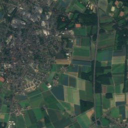
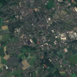
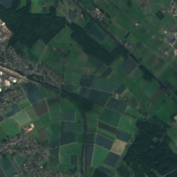
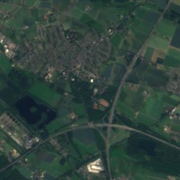
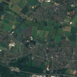
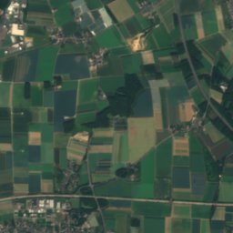
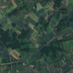
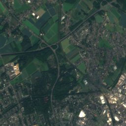
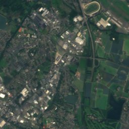
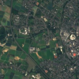
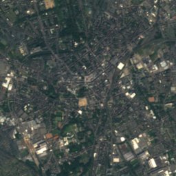
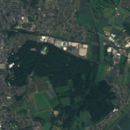
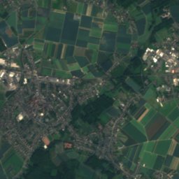
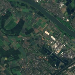
Satellite: Sentinel-2 cloudless 2016 by EOX IT Services GmbH · CC BY 4.0 · Contains modified Copernicus Sentinel data 2016
Gladbach
River
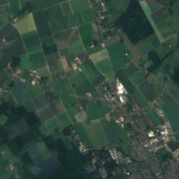
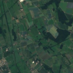
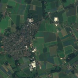
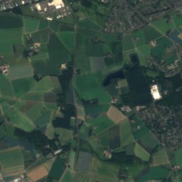
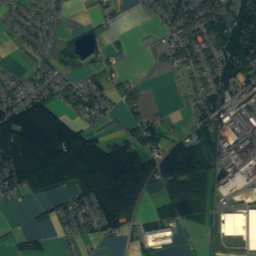
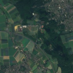
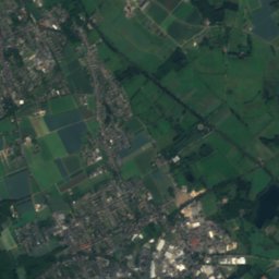
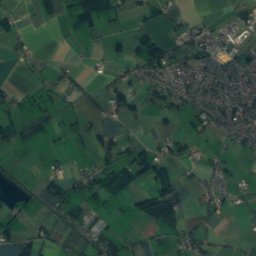
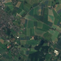
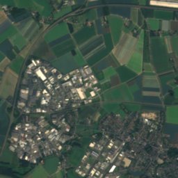
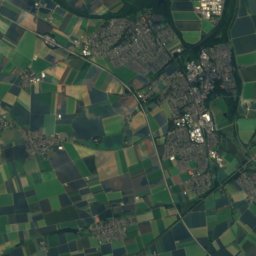
Satellite: Sentinel-2 cloudless 2016 by EOX IT Services GmbH · CC BY 4.0 · Contains modified Copernicus Sentinel data 2016
Kanal III3b
River
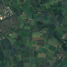
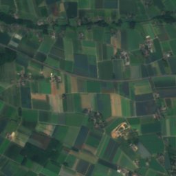
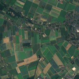
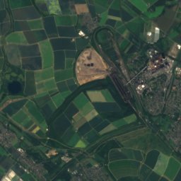
Satellite: Sentinel-2 cloudless 2016 by EOX IT Services GmbH · CC BY 4.0 · Contains modified Copernicus Sentinel data 2016
Hammer Bach
River
Mountains
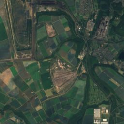
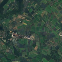
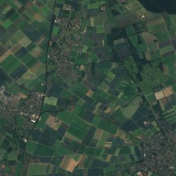
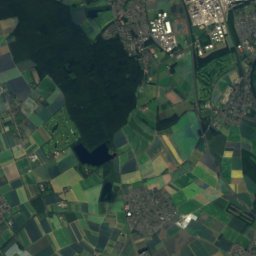
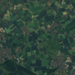
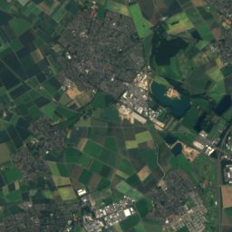
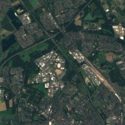
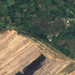
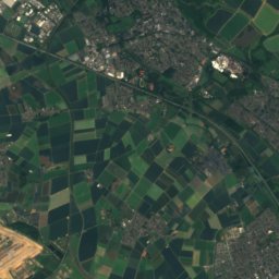
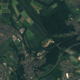
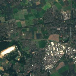
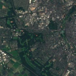
Satellite: Sentinel-2 cloudless 2016 by EOX IT Services GmbH · CC BY 4.0 · Contains modified Copernicus Sentinel data 2016
Glessener Höhe
206 m · Ville
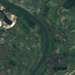
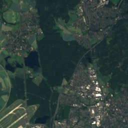
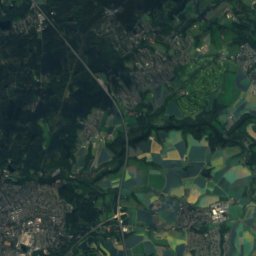
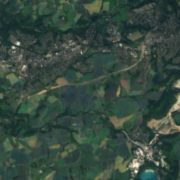
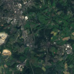
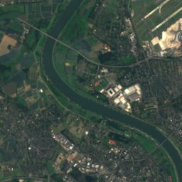
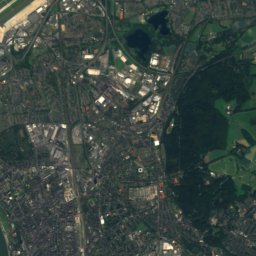
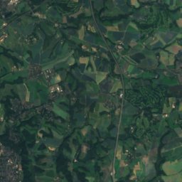
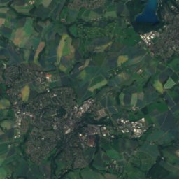
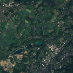
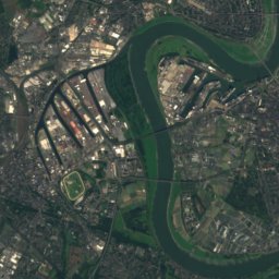
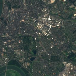
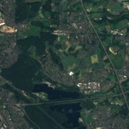
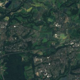
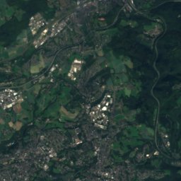
Satellite: Sentinel-2 cloudless 2016 by EOX IT Services GmbH · CC BY 4.0 · Contains modified Copernicus Sentinel data 2016
Sandberg, North Rhine-Westphalia
165 m
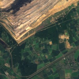
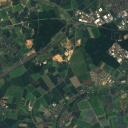
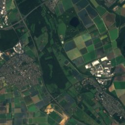
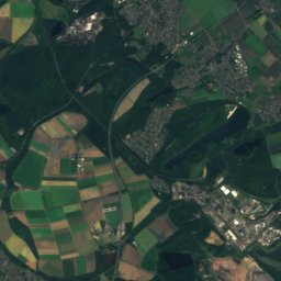
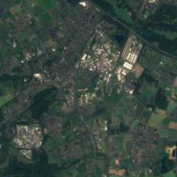
Satellite: Sentinel-2 cloudless 2016 by EOX IT Services GmbH · CC BY 4.0 · Contains modified Copernicus Sentinel data 2016
Wilhelmshöhe, North Rhine-Westphalia
155 m · Ville
Heritage

Schloss Rheydt
architectural heritage monument in North Rhine-Westphalia · 1180

Photo: Stefan Flöper / Wikimedia Commons · CC BY-SA 4.0 · Wikimedia CommonsReport this photo · linked, not stored
Korschenbroich station
architectural heritage monument in North Rhine-Westphalia

St. Andreas, Korschenbroich
architectural heritage monument in North Rhine-Westphalia
Museums

Satellite: Sentinel-2 cloudless 2016 by EOX IT Services GmbH · CC BY 4.0 · Contains modified Copernicus Sentinel data 2016
Städtisches Museum Schloss Rheydt
Satellite: Sentinel-2 cloudless 2016 by EOX IT Services GmbH · CC BY 4.0 · Contains modified Copernicus Sentinel data 2016
Museum Kulturbahnhof Korschenbroich


Satellite: Sentinel-2 cloudless 2016 by EOX IT Services GmbH · CC BY 4.0 · Contains modified Copernicus Sentinel data 2016
Abteiberg Museum
Sculpture garden · 1902