
Photo: Michael Wening · Public domain · Wikimedia Commons
Schloss EittingReport this photo · linked, not stored
Schloss EittingReport this photo · linked, not stored

Photo: Elcom.stadler · CC0 · Wikimedia Commons
St. Johannes der Täufer, LaberweintingReport this photo · linked, not stored
St. Johannes der Täufer, LaberweintingSt. Johannes der Täufer, LaberweintingReport this photo · linked, not stored

Photo: H.Helmlechner · CC BY-SA 4.0 · Wikimedia Commons
St. Martin, LaberweintingReport this photo · linked, not stored
St. Martin, LaberweintingSt. Martin, LaberweintingReport this photo · linked, not stored

Photo: Elcom.stadler · CC0 · Wikimedia Commons
St. Nikolaus, GeiselhöringReport this photo · linked, not stored
St. Nikolaus, GeiselhöringSt. Nikolaus, GeiselhöringReport this photo · linked, not stored

Photo: Elcom.stadler · CC0 · Wikimedia Commons
St. Ulrich, GeiselhöringReport this photo · linked, not stored
St. Ulrich, GeiselhöringSt. Ulrich, GeiselhöringReport this photo · linked, not stored
destroyed building or structureLaberweinting, Bavaria
Schloss Eitting
architectural heritage monument in Bavaria
Typedestroyed building or structure
Built–
Best monthsJun · Aug–Sepweather in Laberweinting
48.82° N, 12.33° EUTC+2 · Central European Summer Time
When to goLaberweinting · weather score
Best timeJun · Aug–Sep
October: high / low14° / 5°
iAbout
Schloss Eitting in brief
Schloss Eitting is a destroyed building or structure in Laberweinting, Bavaria, Germany.
It holds the designation architectural heritage monument in Bavaria.
For a visit, the weather in Laberweinting is best in June, August and September; in October afternoons average 14°.
Facts
- Type
- destroyed building or structure
- Designation
- architectural heritage monument in Bavaria
- Nearest town
- Laberweinting
- Region
- Bavaria
- Coordinates
- 48.81507, 12.33037
iiLocation
Where to find it
iiiWhen to visit
Climate guideWeather in Laberweinting
Month score for sightseeing
Best Jun · Aug–Sep20
Jan
28
Feb
26
Mar
62
Apr
64
May
65
Jun
64
Jul
67
Aug
73
Sep
49
Oct
26
Nov
19
Dec
ivNearby
All monuments in GermanyMore heritage close by
St. Johannes der Täufer, Laberweinting
under 100 m SW
architectural heritage monument in Bavaria
St. Martin, Laberweinting
2.1 km S
architectural heritage monument in Bavaria
St. Nikolaus, Geiselhöring
2.1 km E
architectural heritage monument in Bavaria

Pauli Bekehrung, Laberweinting
3.9 km S
architectural heritage monument in Bavaria

Photo: Elcom.stadler at German Wikipedia · Public domain · Wikimedia CommonsReport this photo · linked, not stored
St. Pankratius, Laberweinting
4.1 km SW
architectural heritage monument in Bavaria
Around here
Laberweinting and around

Nature


Mountains

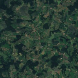


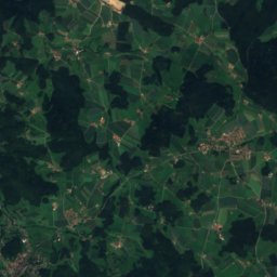
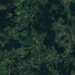
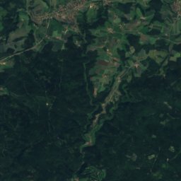
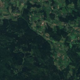
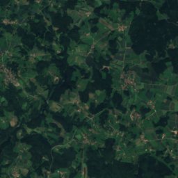
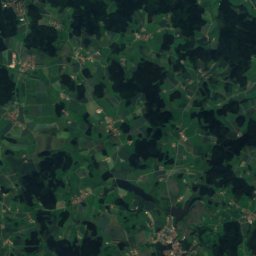
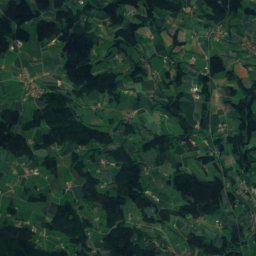
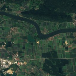
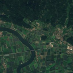
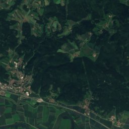


Satellite: Sentinel-2 cloudless 2016 by EOX IT Services GmbH · CC BY 4.0 · Contains modified Copernicus Sentinel data 2016
Kobelberg
703 m · Bavarian Forest

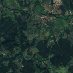
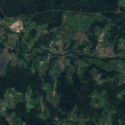
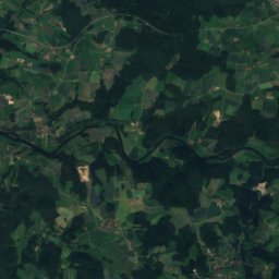

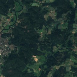
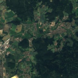
Satellite: Sentinel-2 cloudless 2016 by EOX IT Services GmbH · CC BY 4.0 · Contains modified Copernicus Sentinel data 2016
Hadriwa (Bavarian Forest, Zell)
677 m · Bavarian Forest
Heritage
St. Johannes der Täufer, Laberweinting
architectural heritage monument in Bavaria · 1690
St. Martin, Laberweinting
architectural heritage monument in Bavaria · 1681
Photo: Elcom.stadler at German Wikipedia · Public domain · Wikimedia CommonsReport this photo · linked, not stored
St. Pankratius, Laberweinting
architectural heritage monument in Bavaria · 1897
Museums



Satellite: Sentinel-2 cloudless 2016 by EOX IT Services GmbH · CC BY 4.0 · Contains modified Copernicus Sentinel data 2016
Bäuerliches Heimatmuseum der Landtechnik Troadbodn












Satellite: Sentinel-2 cloudless 2016 by EOX IT Services GmbH · CC BY 4.0 · Contains modified Copernicus Sentinel data 2016
Heimatmuseum Sünching
Local museum · 2005