Skip to content
Destinations
Weather & climate
Nature
Outdoors
Culture
Events
Sky & live
Schloss Eichicht
Photo: Jörg Blobelt · CC BY-SA 4.0 · Wikimedia Commons
Schloss EichichtReport this photo · linked, not stored
Marienkirche, Kaulsdorf
Photo: NoRud · CC BY-SA 4.0 · Wikimedia Commons
Marienkirche, KaulsdorfReport this photo · linked, not stored
Marienkirche, Kaulsdorf
Eichicht power station
Photo: Eichicht(Laufwasserkraftwerk).jpg: ProfessorX derivative work: Indeedous · CC BY-SA 3.0 · Wikimedia Commons
Eichicht power stationReport this photo · linked, not stored
Eichicht power station
Protestant Church Kaulsdorf
Photo: NoRud · CC BY-SA 4.0 · Wikimedia Commons
Protestant Church KaulsdorfReport this photo · linked, not stored
Protestant Church Kaulsdorf
Kirche Fischersdorf
Photo: Aschroet · CC0 · Wikimedia Commons
Kirche FischersdorfReport this photo · linked, not stored
Kirche Fischersdorf
châteauKaulsdorf, Thuringia

Schloss Eichicht

Kulturdenkmal
Typechâteau
Built–
Best monthsJun · Aug–Sepweather in Kaulsdorf
50.61° N, 11.44° EUTC+1 · Central European Standard Time
When to goKaulsdorf · weather score
JanFebMarAprMayJunJulAugSepOctNovDec48October
Best timeJun · Aug–Sep
October: high / low14° / 6°
iAbout

Schloss Eichicht in brief

Schloss Eichicht is a château in Kaulsdorf, Thuringia, Germany.

It holds the designation Kulturdenkmal.

For a visit, the weather in Kaulsdorf is best in June, August and September; in October afternoons average 14°.

Kaulsdorf: weather and travel guide

Facts

Type
château
Designation
Kulturdenkmal
Nearest town
Kaulsdorf
Region
Thuringia
Coordinates
50.60780, 11.44030
iiLocation

Where to find it

iiiWhen to visit

Weather in Kaulsdorf

Climate guide

Month score for sightseeing

Best Jun · Aug–Sep
18
Jan
27
Feb
25
Mar
61
Apr
66
May
67
Jun
65
Jul
69
Aug
73
Sep
48
Oct
22
Nov
16
Dec
ivNearby

More heritage close by

All monuments in Germany
Marienkirche, Kaulsdorf
Photo: NoRud · CC BY-SA 4.0 · Wikimedia CommonsReport this photo · linked, not stored

Marienkirche, Kaulsdorf

0.4 km N
Heritage monument in Thuringia
Marienkirche, Kaulsdorf
Eichicht power station
Photo: Eichicht(Laufwasserkraftwerk).jpg: ProfessorX derivative work: Indeedous · CC BY-SA 3.0 · Wikimedia CommonsReport this photo · linked, not stored

Eichicht power station

0.9 km NE
Kulturdenkmal
Eichicht power station
Protestant Church Kaulsdorf
Photo: NoRud · CC BY-SA 4.0 · Wikimedia CommonsReport this photo · linked, not stored

Protestant Church Kaulsdorf

1.6 km NW
Heritage monument in Thuringia
Protestant Church Kaulsdorf
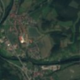
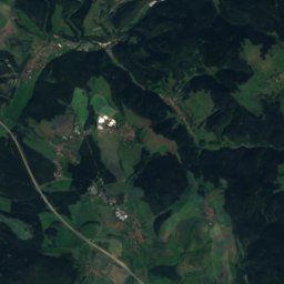
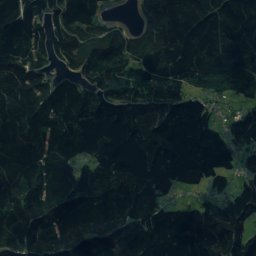
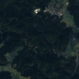
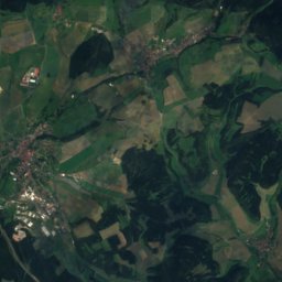
Satellite: Sentinel-2 cloudless 2016 by EOX IT Services GmbH · CC BY 4.0 · Contains modified Copernicus Sentinel data 2016

Schloss Kaulsdorf

1.8 km N
Kulturdenkmal
Schloss Kaulsdorf
Kirche Fischersdorf
Photo: Aschroet · CC0 · Wikimedia CommonsReport this photo · linked, not stored

Kirche Fischersdorf

2.9 km NW
Heritage monument in Thuringia
Kirche Fischersdorf
Protestant Church Hohenwarte
Photo: NoRud · CC BY-SA 4.0 · Wikimedia CommonsReport this photo · linked, not stored

Protestant Church Hohenwarte

3.0 km E
Heritage monument in Thuringia
Protestant Church Hohenwarte
Around here

Kaulsdorf and around

Kaulsdorf
Photo: Subbass1 · CC BY-SA 4.0 · Wikimedia CommonsReport this photo · linked, not stored

Kaulsdorf

Thuringia · Germany
Jun · Aug–Sepbest months
25°July high
250 maltitude
Kaulsdorf

Nature

Loquitz
Photo: Kronach Fotos · CC BY-SA 4.0 · Wikimedia CommonsReport this photo · linked, not stored
0.3 km SE

Loquitz

River · 232 m
Loquitz
Sorbitz
Photo: Aliquis507 · CC BY-SA 3.0 · Wikimedia CommonsReport this photo · linked, not stored
12 km W

Sorbitz

River
Sorbitz
Sormitz
Photo: Covânt · CC BY-SA 3.0 · Wikimedia CommonsReport this photo · linked, not stored
2.4 km S

Sormitz

River
Sormitz

Mountains

Großer Farmdenkopf
Photo: StefanX112 · CC BY-SA 3.0 · Wikimedia CommonsReport this photo · linked, not stored
31 km SW

Großer Farmdenkopf

869 m · Thuringian Highland
Großer Farmdenkopf
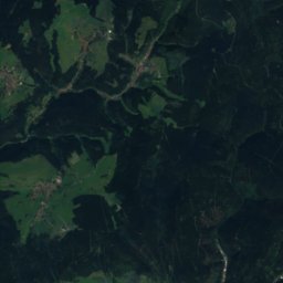
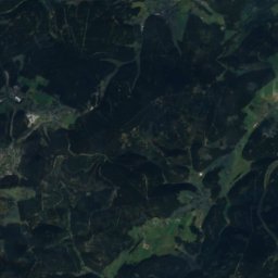
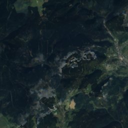
Satellite: Sentinel-2 cloudless 2016 by EOX IT Services GmbH · CC BY 4.0 · Contains modified Copernicus Sentinel data 2016
29 km SW

Kieferle

867 m · Thuringian Highland
Kieferle
Bleßberg
Photo: Presse03 · CC BY-SA 3.0 · Wikimedia CommonsReport this photo · linked, not stored
36 km SW

Bleßberg

867 m · Thuringian Highland
Bleßberg

Heritage

Protestant Church Kaulsdorf
Photo: NoRud · CC BY-SA 4.0 · Wikimedia CommonsReport this photo · linked, not stored
0.5 km N

Protestant Church Kaulsdorf

Heritage monument in Thuringia
Protestant Church Kaulsdorf
Marienkirche, Kaulsdorf
Photo: NoRud · CC BY-SA 4.0 · Wikimedia CommonsReport this photo · linked, not stored
0.7 km SE

Marienkirche, Kaulsdorf

Heritage monument in Thuringia
Marienkirche, Kaulsdorf
Kirche Fischersdorf
Photo: Aschroet · CC0 · Wikimedia CommonsReport this photo · linked, not stored
2.0 km W

Kirche Fischersdorf

Heritage monument in Thuringia
Kirche Fischersdorf

Museums

Friedrich Fröbel Museum
Photo: Manfi.B. · CC BY-SA 3.0 · Wikimedia CommonsReport this photo · linked, not stored
14 km NW

Friedrich Fröbel Museum

Friedrich Fröbel Museum
Schillerhaus
Photo: Z thomas · CC BY-SA 3.0 · Wikimedia CommonsReport this photo · linked, not stored
14 km NW

Schillerhaus

Literary museum
Schillerhaus
Rathaus Pößneck
Photo: Peter Schmelzle · CC BY-SA 3.0 · Wikimedia CommonsReport this photo · linked, not stored
14 km NE

Rathaus Pößneck

Rathaus Pößneck