Satellite: Sentinel-2 cloudless 2016 by EOX IT Services GmbH · CC BY 4.0 · Contains modified Copernicus Sentinel data 2016
châteauHöchstädt im Fichtelgebirge, Bavaria
Schloss Bernstein
architectural heritage monument in Bavaria
Typechâteau
Built–
Best monthsJul–Sepweather in Höchstädt im Fichtelgebirge
50.07° N, 12.06° EUTC+1 · Central European Standard Time
When to goHöchstädt im Fichtelgebirge · weather score
Best timeJul–Sep
October: high / low12° / 4°
iAbout
Schloss Bernstein in brief
Schloss Bernstein is a château in Höchstädt im Fichtelgebirge, Bavaria, Germany.
It holds the designation architectural heritage monument in Bavaria.
For a visit, the weather in Höchstädt im Fichtelgebirge is best in July, August and September; in October afternoons average 12°.
Facts
- Type
- château
- Designation
- architectural heritage monument in Bavaria
- Nearest town
- Höchstädt im Fichtelgebirge
- Region
- Bavaria
- Coordinates
- 50.07330, 12.05610
iiLocation
Where to find it
iiiWhen to visit
Climate guideWeather in Höchstädt im Fichtelgebirge
Month score for sightseeing
Best Jul–Sep13
Jan
20
Feb
20
Mar
45
Apr
58
May
63
Jun
64
Jul
66
Aug
66
Sep
33
Oct
17
Nov
11
Dec
Around here
Höchstädt im Fichtelgebirge and around

Höchstädt im Fichtelgebirge
Bavaria · Germany
Jul–Sepbest months
23°July high
570 maltitude
Nature


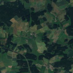
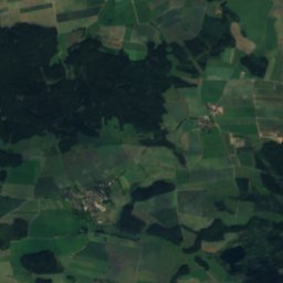
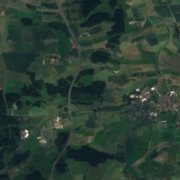
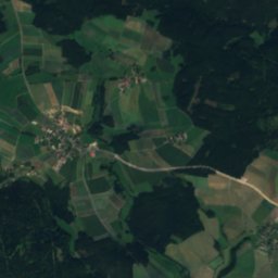
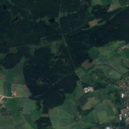
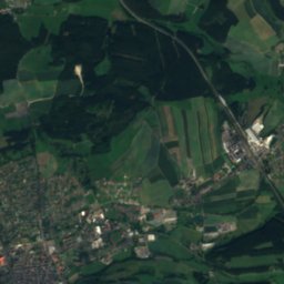
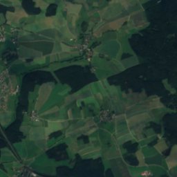
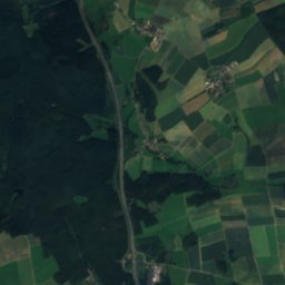
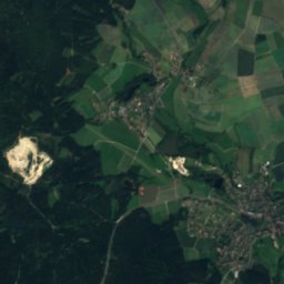
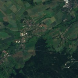
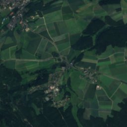
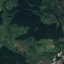
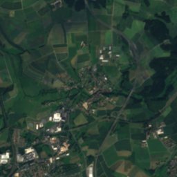
Satellite: Sentinel-2 cloudless 2016 by EOX IT Services GmbH · CC BY 4.0 · Contains modified Copernicus Sentinel data 2016
Siechenbach (Wunsiedel)
River
Mountains


Heritage

Protestant St. Michael's Church
architectural heritage monument in Bavaria
Satellite: Sentinel-2 cloudless 2016 by EOX IT Services GmbH · CC BY 4.0 · Contains modified Copernicus Sentinel data 2016
Thierstein Castle
architectural heritage monument in Bavaria · 1340

Museums

Satellite: Sentinel-2 cloudless 2016 by EOX IT Services GmbH · CC BY 4.0 · Contains modified Copernicus Sentinel data 2016


