Skip to content
Destinations
Weather & climate
Nature
Outdoors
Culture
Events
Sky & live
Saardom
Photo: Oktobersonne · CC BY-SA 4.0 · Wikimedia Commons
SaardomReport this photo · linked, not stored
Villa Alhambra (Dillingen)
Photo: Lokilech · CC BY-SA 3.0 · Wikimedia Commons
Villa Alhambra (Dillingen)Report this photo · linked, not stored
Villa Alhambra (Dillingen)
Stadthalle Dillingen
Photo: LoKiLeCh · CC BY-SA 3.0 · Wikimedia Commons
Stadthalle DillingenReport this photo · linked, not stored
Stadthalle Dillingen
St. Johann (Dillingen)
Photo: atreyu · CC BY-SA 3.0 · Wikimedia Commons
St. Johann (Dillingen)Report this photo · linked, not stored
St. Johann (Dillingen)
Schwedenkreuz
Photo: Lokilech · CC BY-SA 3.0 · Wikimedia Commons
SchwedenkreuzReport this photo · linked, not stored
Schwedenkreuz
parish churchDillingen, Saarland

Saardom

architectural heritage monument
Typeparish church
Built–by Wilhelm Hector, Peter Marx
Best monthsJun · Aug–Sepweather in Dillingen
49.36° N, 6.73° EUTC+1 · Central European Standard Time
When to goDillingen · weather score
JanFebMarAprMayJunJulAugSepOctNovDec47October
Best timeJun · Aug–Sep
October: high / low15° / 7°
iAbout

Saardom in brief

Saardom is a parish church in Dillingen, Saarland, Germany. Defrance-Gruft.

It holds the designation architectural heritage monument.

The parish church was designed by Wilhelm Hector, Peter Marx.

For a visit, the weather in Dillingen is best in June, August and September; in October afternoons average 15°.

Dillingen: weather and travel guide

Facts

Type
parish church
Designation
architectural heritage monument
Architect
Wilhelm Hector, Peter Marx
Nearest town
Dillingen
Region
Saarland
Coordinates
49.35640, 6.72611
iiLocation

Where to find it

iiiWhen to visit

Weather in Dillingen

Climate guide

Month score for sightseeing

Best Jun · Aug–Sep
ivNearby

More heritage close by

All monuments in Germany
Villa Alhambra (Dillingen)
Photo: Lokilech · CC BY-SA 3.0 · Wikimedia CommonsReport this photo · linked, not stored

Villa Alhambra (Dillingen)

0.4 km SE
architectural heritage monument
Villa Alhambra (Dillingen)
Stadthalle Dillingen
Photo: LoKiLeCh · CC BY-SA 3.0 · Wikimedia CommonsReport this photo · linked, not stored

Stadthalle Dillingen

0.4 km SW
architectural heritage monument
Stadthalle Dillingen
St. Johann (Dillingen)
Photo: atreyu · CC BY-SA 3.0 · Wikimedia CommonsReport this photo · linked, not stored

St. Johann (Dillingen)

0.7 km S
architectural heritage monument
St. Johann (Dillingen)
Schwedenkreuz
Photo: Lokilech · CC BY-SA 3.0 · Wikimedia CommonsReport this photo · linked, not stored

Schwedenkreuz

0.7 km S
architectural heritage monument
Schwedenkreuz
Altes Schloss, Dillingen
Photo: Kolling · CC BY-SA 3.0 · Wikimedia CommonsReport this photo · linked, not stored

Altes Schloss, Dillingen

0.7 km SE
architectural heritage monument
Altes Schloss, Dillingen
Hillenkreuz
Photo: Lokilech · CC BY-SA 3.0 · Wikimedia CommonsReport this photo · linked, not stored

Hillenkreuz

0.7 km S
architectural heritage monument
Hillenkreuz
Around here

Dillingen and around

Dillingen
Photo: Lokilech · CC BY-SA 3.0 · Wikimedia CommonsReport this photo · linked, not stored

Dillingen

Saarland · Germany
Jun · Aug–Sepbest months
25°July high
190 maltitude
Dillingen

Nature

Prims
Photo: Lokilech · CC BY-SA 3.0 · Wikimedia CommonsReport this photo · linked, not stored
1.9 km SW

Prims

River
Prims
Ellbach, Saarland
Photo: Flocci Nivis · CC BY-SA 4.0 · Wikimedia CommonsReport this photo · linked, not stored
3.1 km S

Ellbach, Saarland

River · 183 m
Ellbach, Saarland
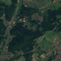
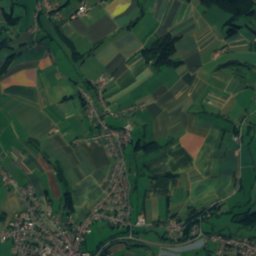
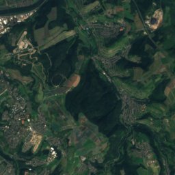
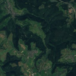
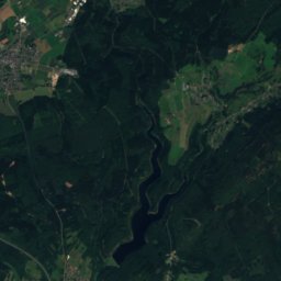
Satellite: Sentinel-2 cloudless 2016 by EOX IT Services GmbH · CC BY 4.0 · Contains modified Copernicus Sentinel data 2016
9.8 km NE

Theel

River
Theel

Mountains
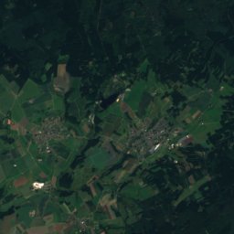
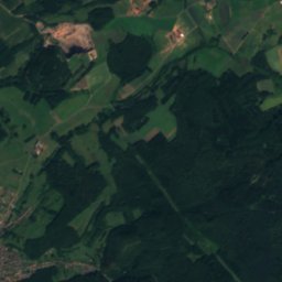
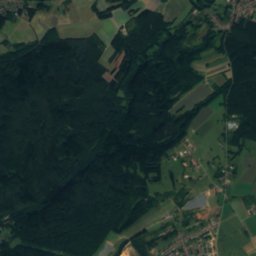
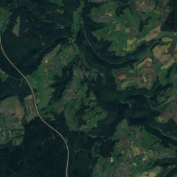
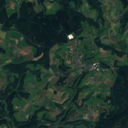
Satellite: Sentinel-2 cloudless 2016 by EOX IT Services GmbH · CC BY 4.0 · Contains modified Copernicus Sentinel data 2016
36 km N

Rösterkopf

708 m · Osburger Hochwald
Rösterkopf
Dollberg
Photo: Bolero-Saar · CC BY-SA 3.0 de · Wikimedia CommonsReport this photo · linked, not stored
37 km NE

Dollberg

695 m · Dollberge
Dollberg
Teufelskopf, Rheinland-Pfalz
Photo: Meulenwald · CC BY-SA 3.0 · Wikimedia CommonsReport this photo · linked, not stored
28 km N

Teufelskopf, Rheinland-Pfalz

695 m · Black Forest High Forest
Teufelskopf, Rheinland-Pfalz

Heritage

St. Maximin, Dillingen
Photo: Lokilech · CC BY-SA 3.0 · Wikimedia CommonsReport this photo · linked, not stored
1.1 km W

St. Maximin, Dillingen

architectural heritage monument
St. Maximin, Dillingen
St. Johann (Dillingen)
Photo: atreyu · CC BY-SA 3.0 · Wikimedia CommonsReport this photo · linked, not stored
0.6 km S

St. Johann (Dillingen)

architectural heritage monument
St. Johann (Dillingen)
Altes Schloss, Dillingen
Photo: Kolling · CC BY-SA 3.0 · Wikimedia CommonsReport this photo · linked, not stored
0.5 km SE

Altes Schloss, Dillingen

architectural heritage monument
Altes Schloss, Dillingen

Museums

Museum Pachten
Photo: Lokilech · CC BY-SA 3.0 · Wikimedia CommonsReport this photo · linked, not stored
1.4 km W

Museum Pachten

1990
Museum Pachten
Heimatmuseum Wallerfangen
Photo: LoKiLeCh · CC BY-SA 3.0 · Wikimedia CommonsReport this photo · linked, not stored
3.2 km S

Heimatmuseum Wallerfangen

1976
Heimatmuseum Wallerfangen
Haus Ludwig
Photo: --Xocolatl (talk) 14:14, 11 April 2010 (UTC) · Public domain · Wikimedia CommonsReport this photo · linked, not stored
4.9 km S

Haus Ludwig

Haus Ludwig