
Photo: File:Plassenburg, Kulmbach from Rehturm.jpg: El Grafo derivative work: DYVER · CC BY-SA 4.0 · Wikimedia Commons
PlassenburgReport this photo · linked, not stored
PlassenburgReport this photo · linked, not stored

Photo: Benreis · CC BY 3.0 · Wikimedia Commons
Turm, UntersteinachReport this photo · linked, not stored
Turm, UntersteinachTurm, UntersteinachReport this photo · linked, not stored

Photo: Reinhold Möller · CC BY-SA 4.0 · Wikimedia Commons
Langheimer Amtshof KulmbachReport this photo · linked, not stored
Langheimer Amtshof KulmbachLangheimer Amtshof KulmbachReport this photo · linked, not stored

Photo: Olaf Meister · CC BY-SA 3.0 · Wikimedia Commons
Spital church (Kulmbach)Report this photo · linked, not stored
Spital church (Kulmbach)Spital church (Kulmbach)Report this photo · linked, not stored

Photo: Tilman2007 · CC BY-SA 3.0 · Wikimedia Commons
Rathaus, UntersteinachReport this photo · linked, not stored
Rathaus, UntersteinachRathaus, UntersteinachReport this photo · linked, not stored
castleUntersteinach, Bavaria
Plassenburg
architectural heritage monument in Bavaria
Typecastle
Built–
Best monthsJul–Sepweather in Untersteinach
50.11° N, 11.46° EUTC+1 · Central European Standard Time
When to goUntersteinach · weather score
Best timeJul–Sep
October: high / low13° / 5°
iAbout
Plassenburg in brief
Plassenburg is a castle in Untersteinach, Bavaria, Germany.
It holds the designation architectural heritage monument in Bavaria.
For a visit, the weather in Untersteinach is best in July, August and September; in October afternoons average 13°.
Facts
- Type
- castle
- Designation
- architectural heritage monument in Bavaria
- Nearest town
- Untersteinach
- Region
- Bavaria
- Coordinates
- 50.10817, 11.46387
iiLocation
Where to find it
iiiWhen to visit
Climate guideWeather in Untersteinach
Month score for sightseeing
Best Jul–Sep15
Jan
23
Feb
22
Mar
55
Apr
64
May
64
Jun
65
Jul
67
Aug
71
Sep
41
Oct
21
Nov
14
Dec
ivNearby
All monuments in GermanyMore heritage close by




Satellite: Sentinel-2 cloudless 2016 by EOX IT Services GmbH · CC BY 4.0 · Contains modified Copernicus Sentinel data 2016
St. Peter (Kulmbach)
0.3 km SW
architectural heritage monument in Bavaria

Photo: © El Grafo / CC-BY-SA-4.0 · CC BY-SA 4.0 · Wikimedia CommonsReport this photo · linked, not stored
Reh-Tower
1.0 km SE
architectural heritage monument in Bavaria
Around here
Untersteinach and around

Photo: User: Benreis at wikivoyage shared · CC BY-SA 3.0 · Wikimedia CommonsReport this photo · linked, not stored
Untersteinach
Bavaria · Germany
Jul–Sepbest months
24°July high
390 maltitude
Nature
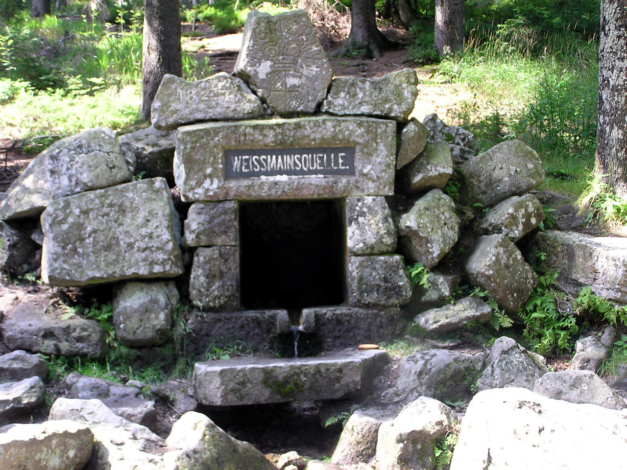

Photo: © Freak-Line-Community / Wikimedia Commons · CC BY-SA 3.0 · Wikimedia CommonsReport this photo · linked, not stored
Friesenbach, Bavaria
River · 300 m

Mountains


Heritage

Saint Oswald of Northumbria Church
architectural heritage monument in Bavaria

Photo: User: Benreis at wikivoyage shared · CC BY-SA 3.0 · Wikimedia CommonsReport this photo · linked, not stored
Kreuzkirche (Kulmbach)
architectural heritage monument in Bavaria
Museums




Satellite: Sentinel-2 cloudless 2016 by EOX IT Services GmbH · CC BY 4.0 · Contains modified Copernicus Sentinel data 2016


