
Photo: AHert · CC BY-SA 3.0 · Wikimedia Commons
Planegger Straße 21Report this photo · linked, not stored
Planegger Straße 21Report this photo · linked, not stored

Photo: AHert · CC BY-SA 3.0 · Wikimedia Commons
Planegger Straße 19Report this photo · linked, not stored
Planegger Straße 19Planegger Straße 19Report this photo · linked, not stored

Photo: Peterf · CC BY-SA 3.0 · Wikimedia Commons
Planegger Straße 14Report this photo · linked, not stored
Planegger Straße 14Planegger Straße 14Report this photo · linked, not stored

Photo: Peterf · CC BY-SA 3.0 · Wikimedia Commons
Planegger Straße 16 (München)Report this photo · linked, not stored
Planegger Straße 16 (München)Planegger Straße 16 (München)Report this photo · linked, not stored

Photo: AHert · CC BY-SA 3.0 · Wikimedia Commons
Planegger Straße 27Report this photo · linked, not stored
Planegger Straße 27Planegger Straße 27Report this photo · linked, not stored
residentialGräfelfing, Bavaria
Planegger Straße 21
architectural heritage monument in BavariaBuilt 1902
Typeresidential
Built1902by Georg Völkl
Best monthsJul–Sepweather in Gräfelfing
48.14° N, 11.46° EUTC+2 · Central European Summer Time
Standing for124 years
built 1902today 2026
When to goGräfelfing · weather score
Best timeJul–Sep
October: high / low14° / 5°
iAbout
Planegger Straße 21 in brief
Planegger Straße 21 is a residential in Gräfelfing, Bavaria, Germany.
It holds the designation architectural heritage monument in Bavaria.
The residential dates from 1902 and was designed by Georg Völkl.
For a visit, the weather in Gräfelfing is best in July, August and September; in October afternoons average 14°.
Facts
- Type
- residential
- Designation
- architectural heritage monument in Bavaria
- Built
- 1902
- Architect
- Georg Völkl
- Nearest town
- Gräfelfing
- Region
- Bavaria
- Coordinates
- 48.14410, 11.45843
iiLocation
Where to find it
iiiWhen to visit
Climate guideWeather in Gräfelfing
Month score for sightseeing
Best Jul–Sep21
Jan
27
Feb
25
Mar
53
Apr
63
May
64
Jun
66
Jul
65
Aug
69
Sep
48
Oct
26
Nov
18
Dec
ivNearby
All monuments in GermanyMore heritage close by
Planegger Straße 16 (München)
under 100 m SW
architectural heritage monument in Bavaria


Peter-Putz-Straße 6/8/10
under 100 m E
architectural heritage monument in Bavaria
Around here
Gräfelfing and around

Nature


Photo: Gras-Ober, Wikipedia/Wikimedia Commons (cc-by-sa-3.0) · CC BY-SA 3.0 · Wikimedia CommonsReport this photo · linked, not stored
Nadisee
Lake

Mountains
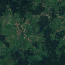
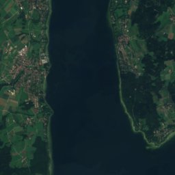
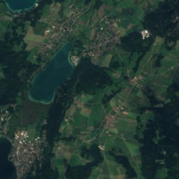
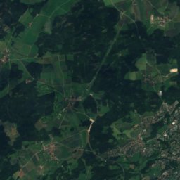
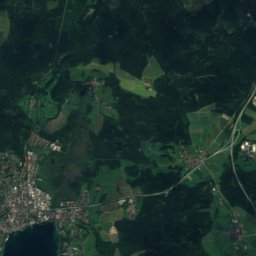
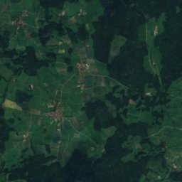
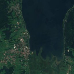
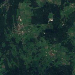
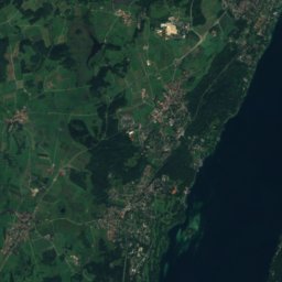
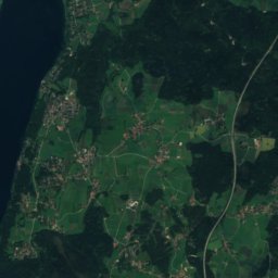
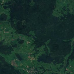
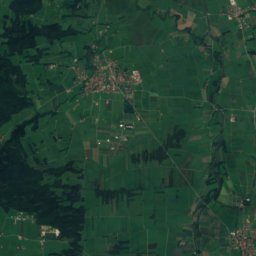
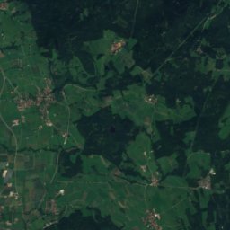
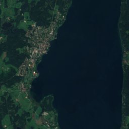
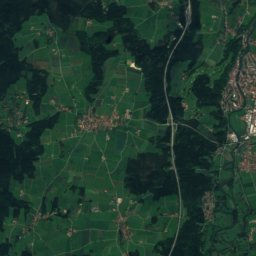
Satellite: Sentinel-2 cloudless 2016 by EOX IT Services GmbH · CC BY 4.0 · Contains modified Copernicus Sentinel data 2016
Berndorfer Buchet
760 m

Photo: Gras-Ober, Wikipedia/Wikimedia Commons (cc-by-sa-3.0) · CC BY-SA 3.0 · Wikimedia CommonsReport this photo · linked, not stored
Ilkahöhe
726 m

Heritage


Museums


Photo: Photo: Andreas Praefcke · CC BY 3.0 · Wikimedia CommonsReport this photo · linked, not stored
Alte Pinakothek
Art museum · 1836


